Uphill
145m
Length
5km
Duration
1h30min
Elev gain
145m
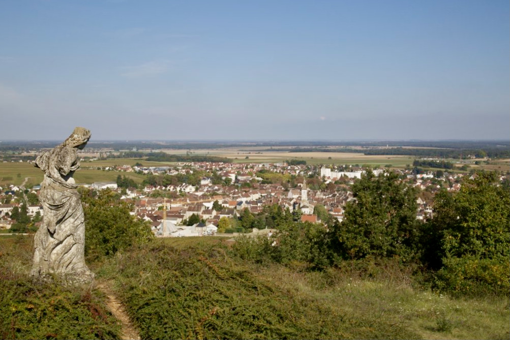
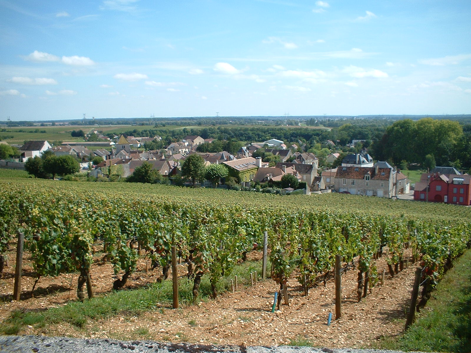
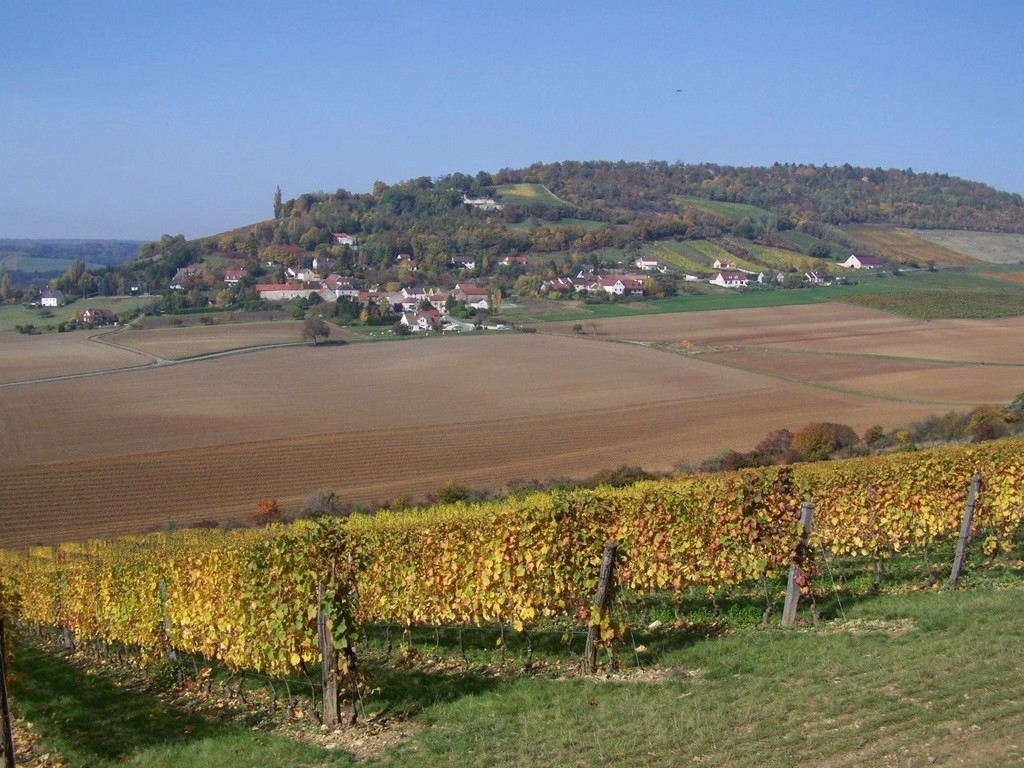
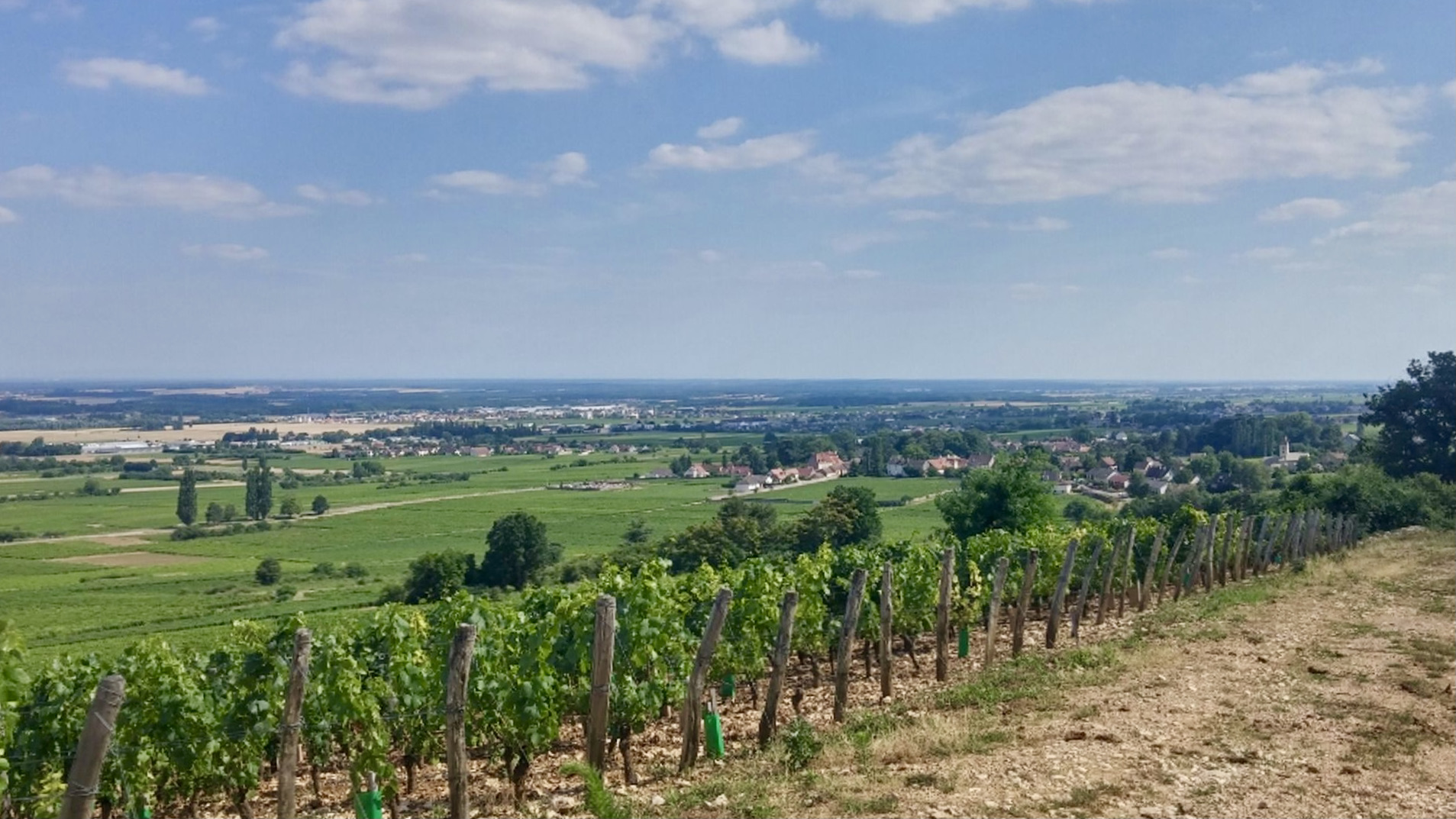
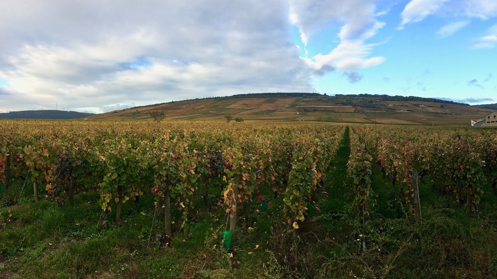
Here is a relatively accessible walk that does not lack charm. The route loops around the Premier Cru Vosne-Romanée, offering superb panoramic views of the vineyards.

Already more than 200,000 users!
Uphill
145m
Highest point
378m
Downhill
145m
Lowest point
235m
Route type
Loop
Download the map on your smartphone to save battery and rest assured to always keep access to the route, even without signal.
Includes IGN France and Swisstopo.
I indicate whether dogs are allowed or prohibited on this trail
All year
0 ratings
Also enjoy:

Already more than 200,000 users!