Uphill
194m
Length
6km
Duration
2h
Elev gain
194m
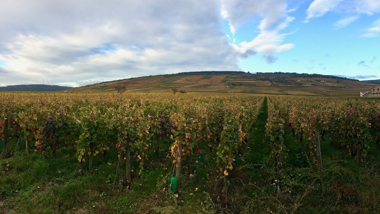
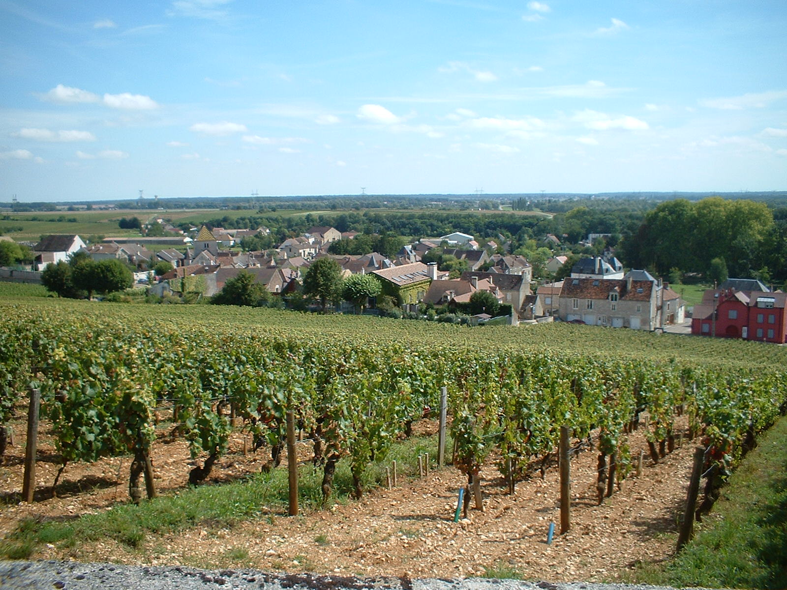
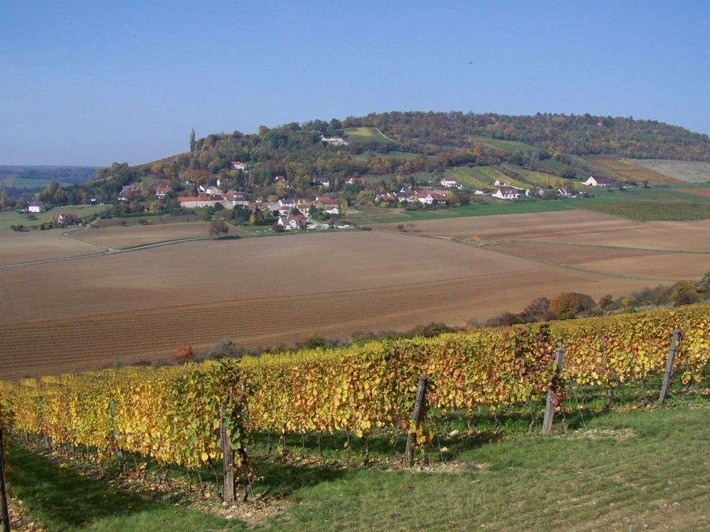
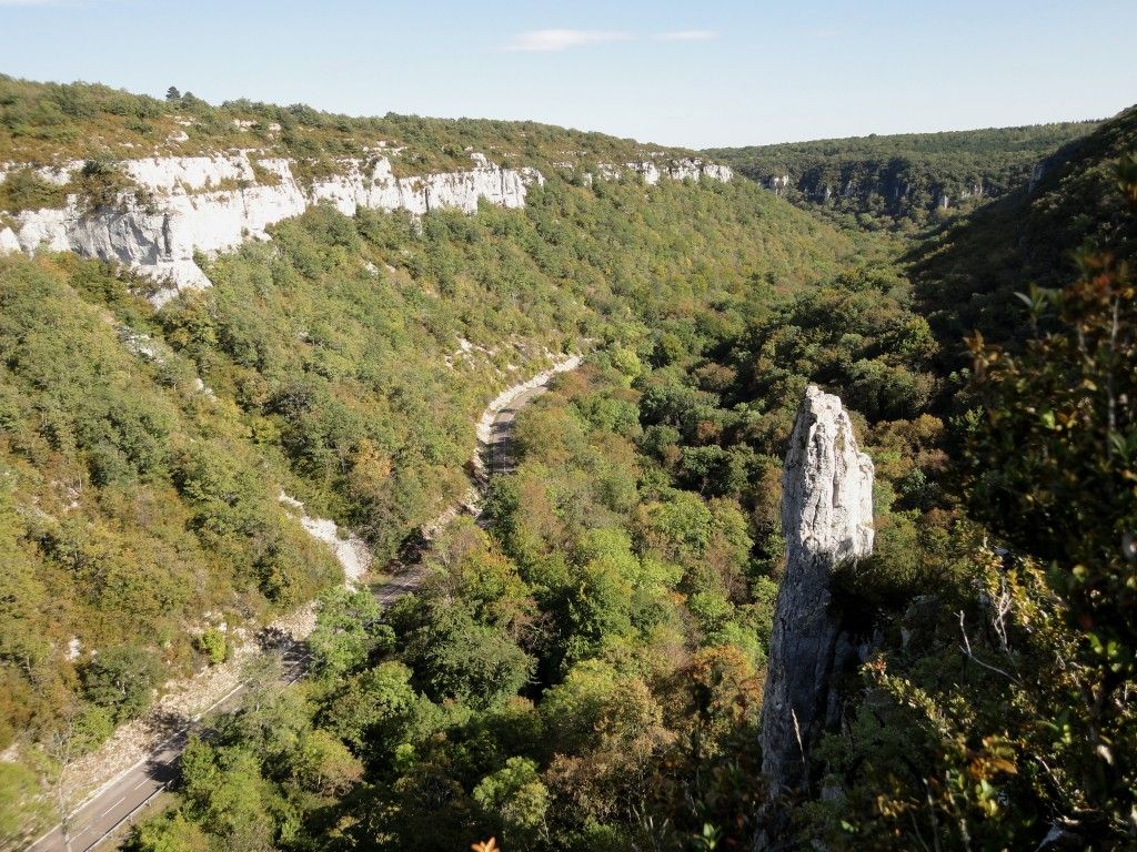
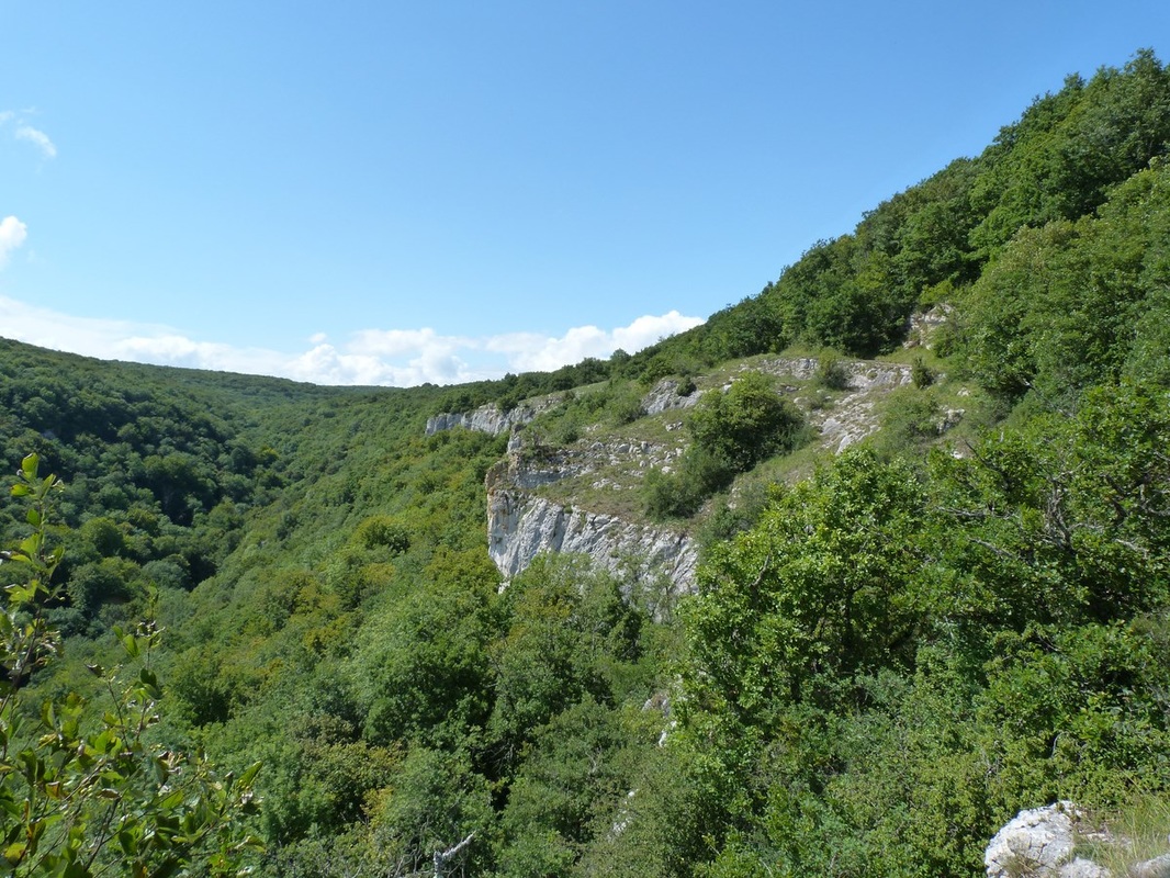
Here is a nice walk that apart from discovering the caves called "Light Holes". The route begins with the forest then continues through the vineyards, in a pleasant setting.
Please note: the slope is a little steep in places, and therefore slippery in rainy weather.

Already more than 200,000 users!
Uphill
194m
Highest point
396m
Downhill
194m
Lowest point
247m
Route type
Loop
Download the map on your smartphone to save battery and rest assured to always keep access to the route, even without signal.
Includes IGN France and Swisstopo.
I indicate whether dogs are allowed or prohibited on this trail
All year
0 ratings
Also enjoy:

Already more than 200,000 users!