Uphill
567m
France > Bourgogne-Franche-Comté > Doubs > Doubs Horloger Nature Park
Length
9km
Duration
4h
Elev gain
567m
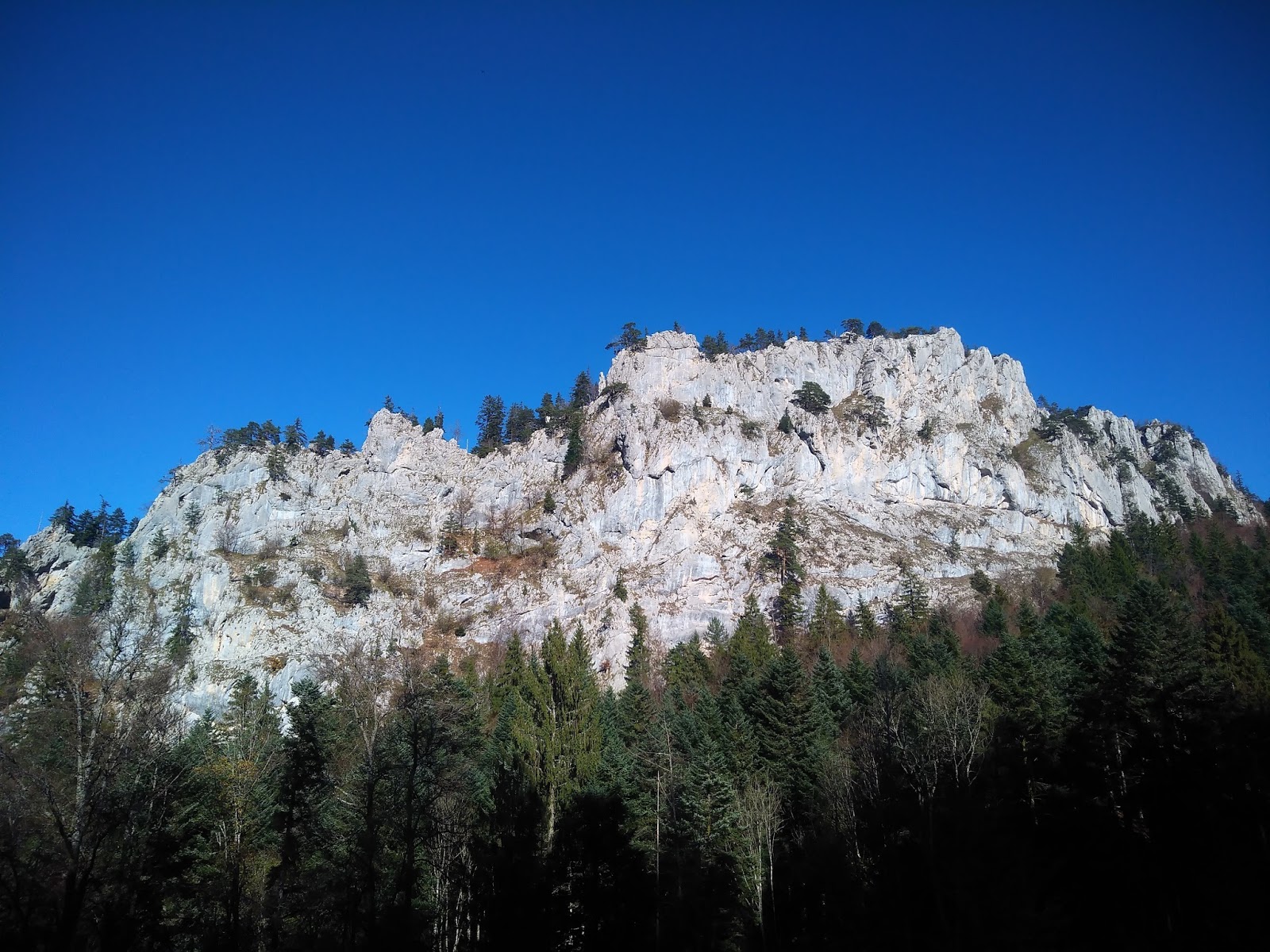
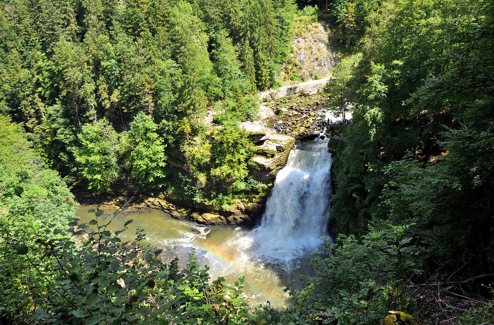
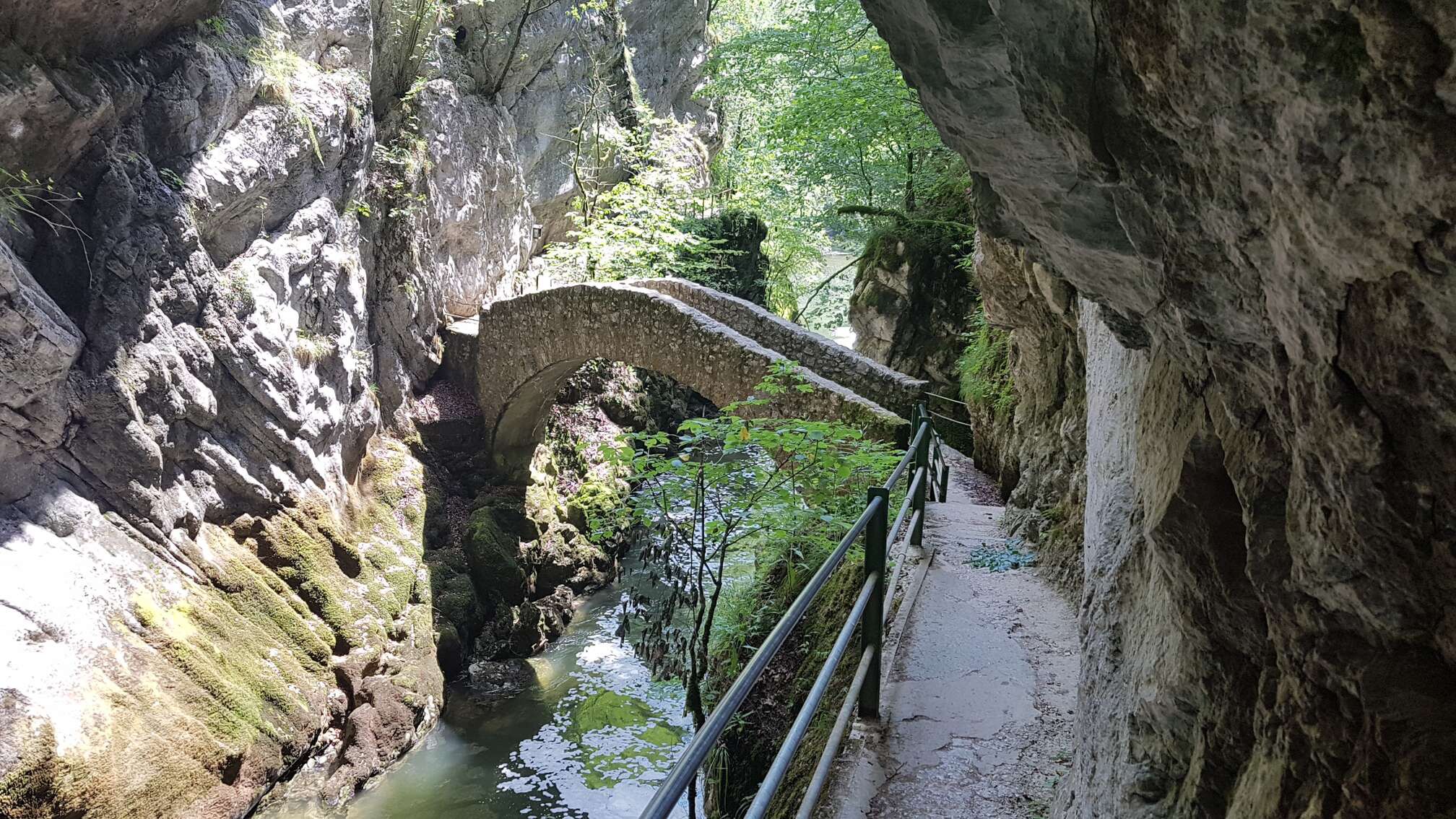
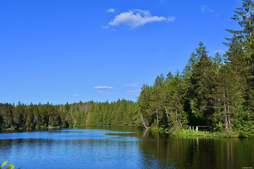
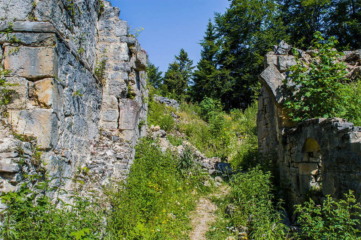
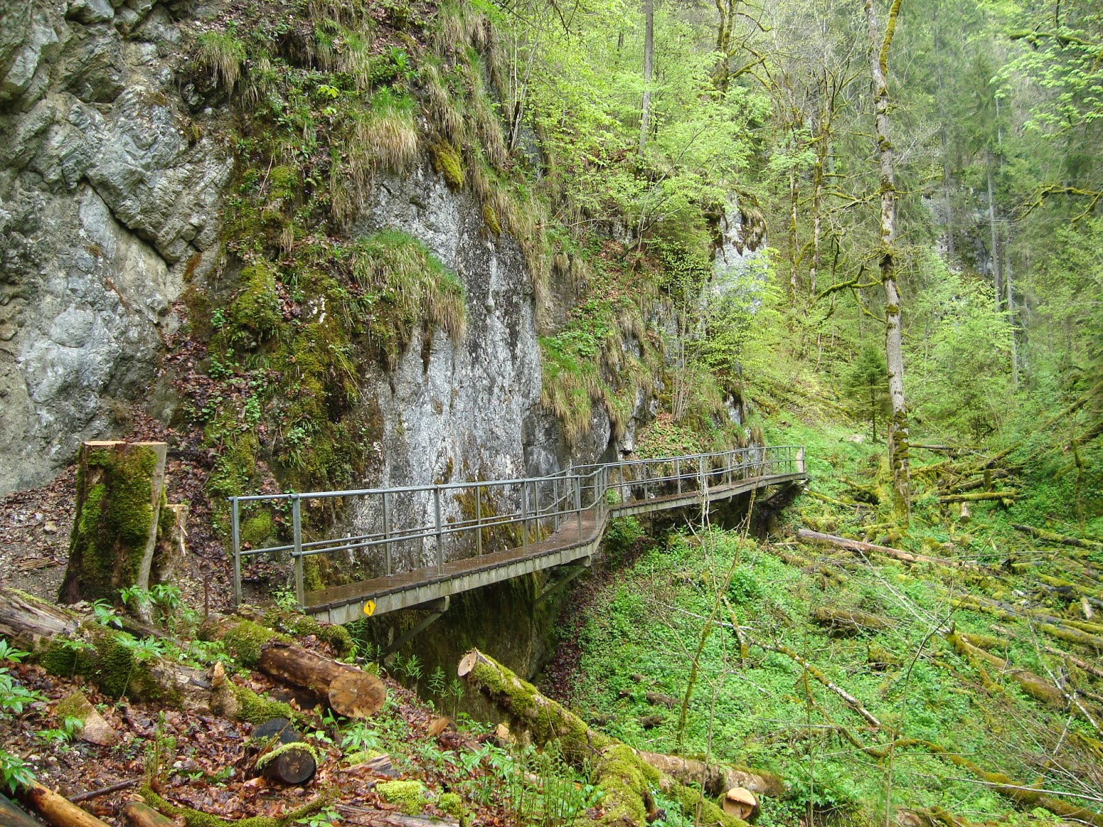
Departing from Lake Biaufond, this hike crosses a canyon carved out by the Doubs, before moving into the Gorges de la Ronde. It will be necessary to use ladders, in order to cross a wild setting with lush vegetation.

Already more than 200,000 users!
Uphill
567m
Highest point
945m
Downhill
567m
Lowest point
605m
Route type
Loop
Download the map on your smartphone to save battery and rest assured to always keep access to the route, even without signal.
Includes IGN France and Swisstopo.
I indicate whether dogs are allowed or prohibited on this trail
Can be difficult in Winter
1 rating
Also enjoy:

Already more than 200,000 users!