Uphill
32m
Length
2km
Duration
30min
Elev gain
32m
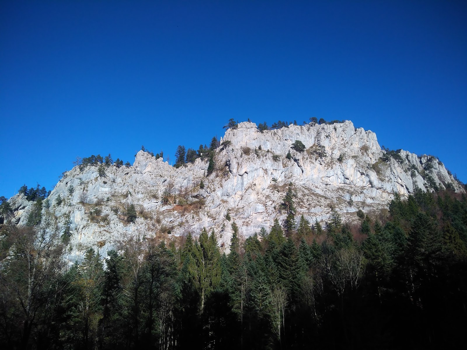
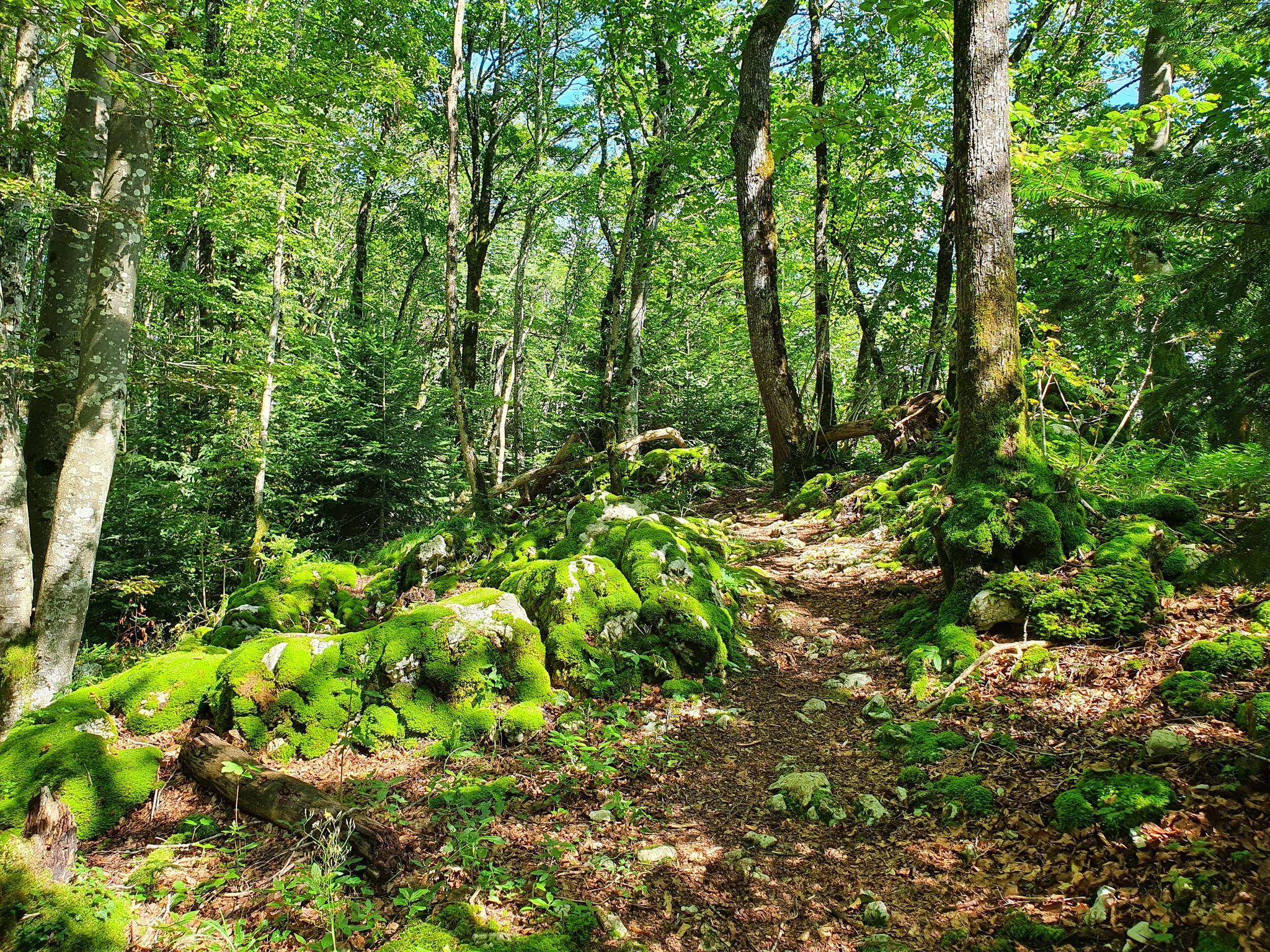
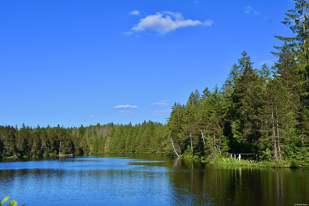
Short family-friendly trail around the Gruère pond. This looped route circles the pond very close to the Bois de la Chaux and offers lovely views of the limestone walls of Tramelan.

Already more than 200,000 users!
Uphill
32m
Highest point
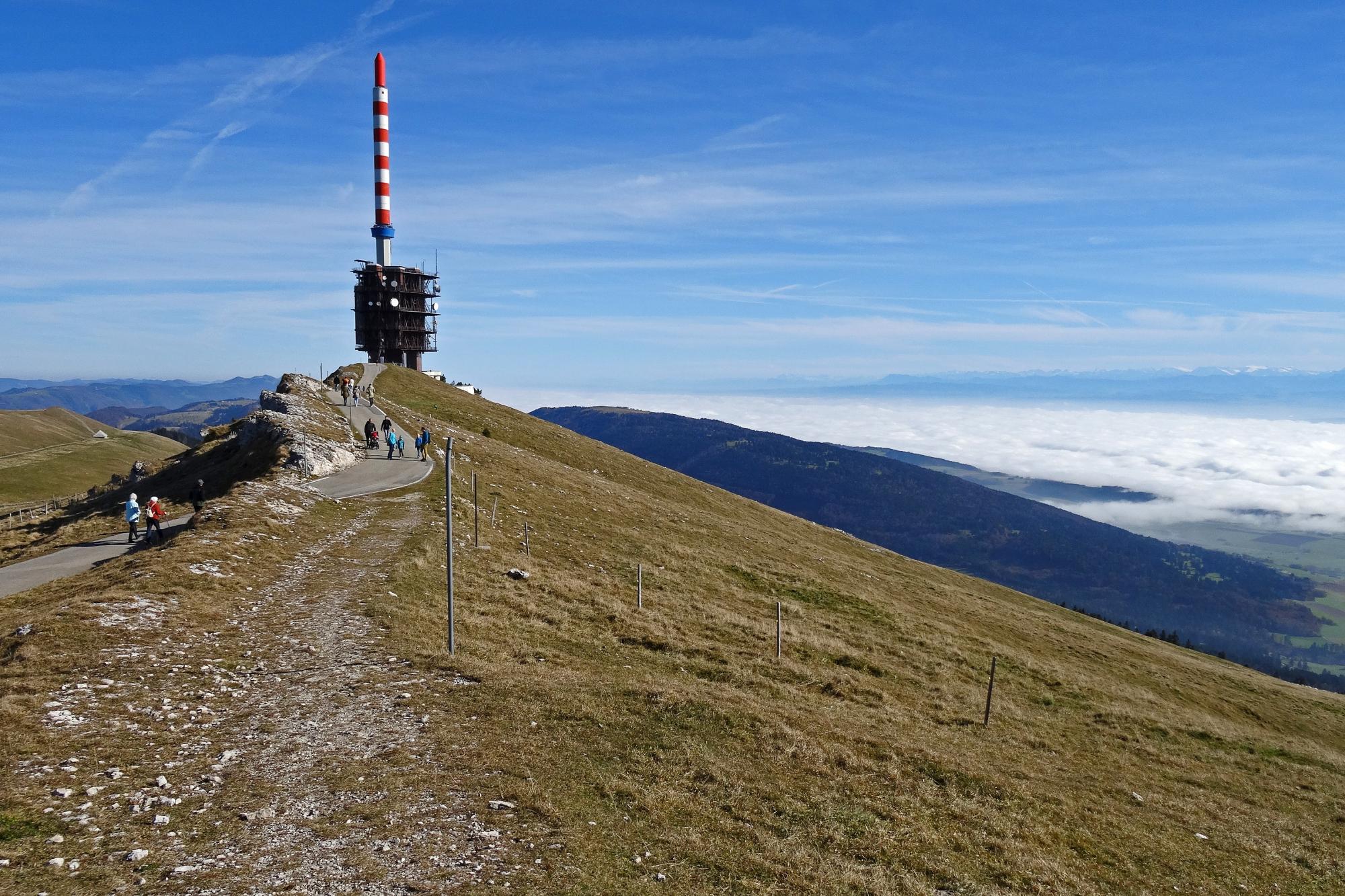
1019m
Downhill
32m
Lowest point
991m
Route type
Loop
Download the map on your smartphone to save battery and rest assured to always keep access to the route, even without signal.
Includes IGN France and Swisstopo.
I indicate whether dogs are allowed or prohibited on this trail
Can be difficult in Winter
0 ratings
Also enjoy:

Already more than 200,000 users!