Uphill
666m
Length
17km
Duration
6h
Elev gain
666m
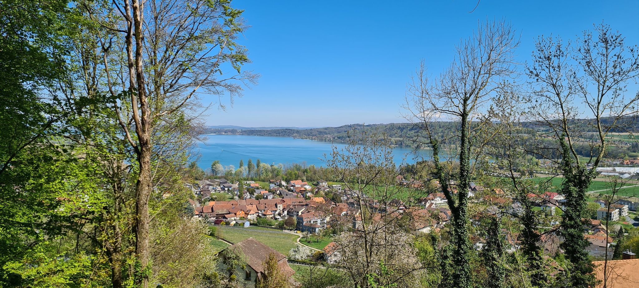
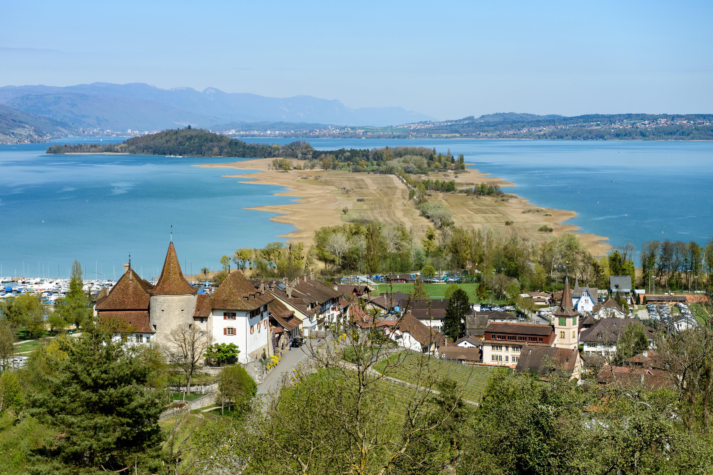
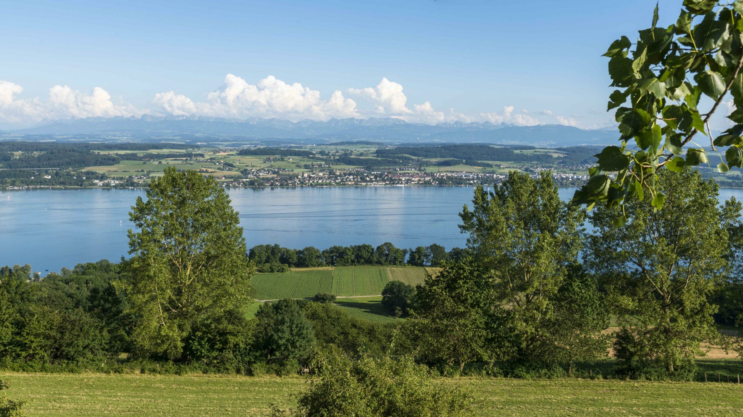
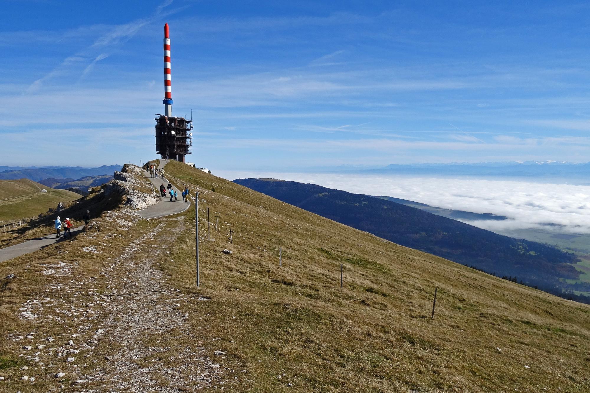
Superb hike on the east ridge of the Chasseral. Departing from Nods, this route gains height then joins pretty crests which offer magnificent views of the Swiss peaks, the Vosges, the Jura and the Apes. In short, a feast for the eyes!

Already more than 200,000 users!
Uphill
666m
Highest point
1602m
Downhill
666m
Lowest point
938m
Route type
Loop
Download the map on your smartphone to save battery and rest assured to always keep access to the route, even without signal.
Includes IGN France and Swisstopo.
I indicate whether dogs are allowed or prohibited on this trail
From May to October
1 rating
Also enjoy:

Already more than 200,000 users!