Uphill
220m
Length
9km
Duration
3h
Elev gain
220m
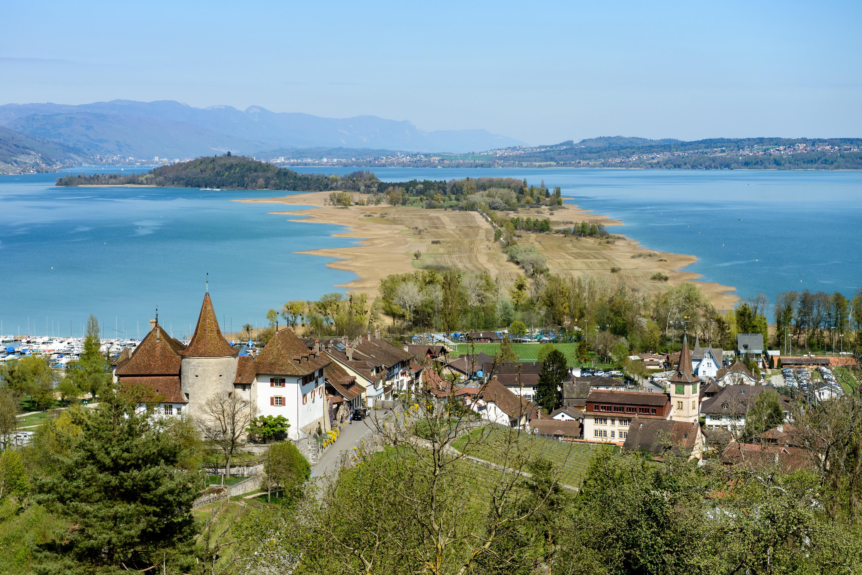
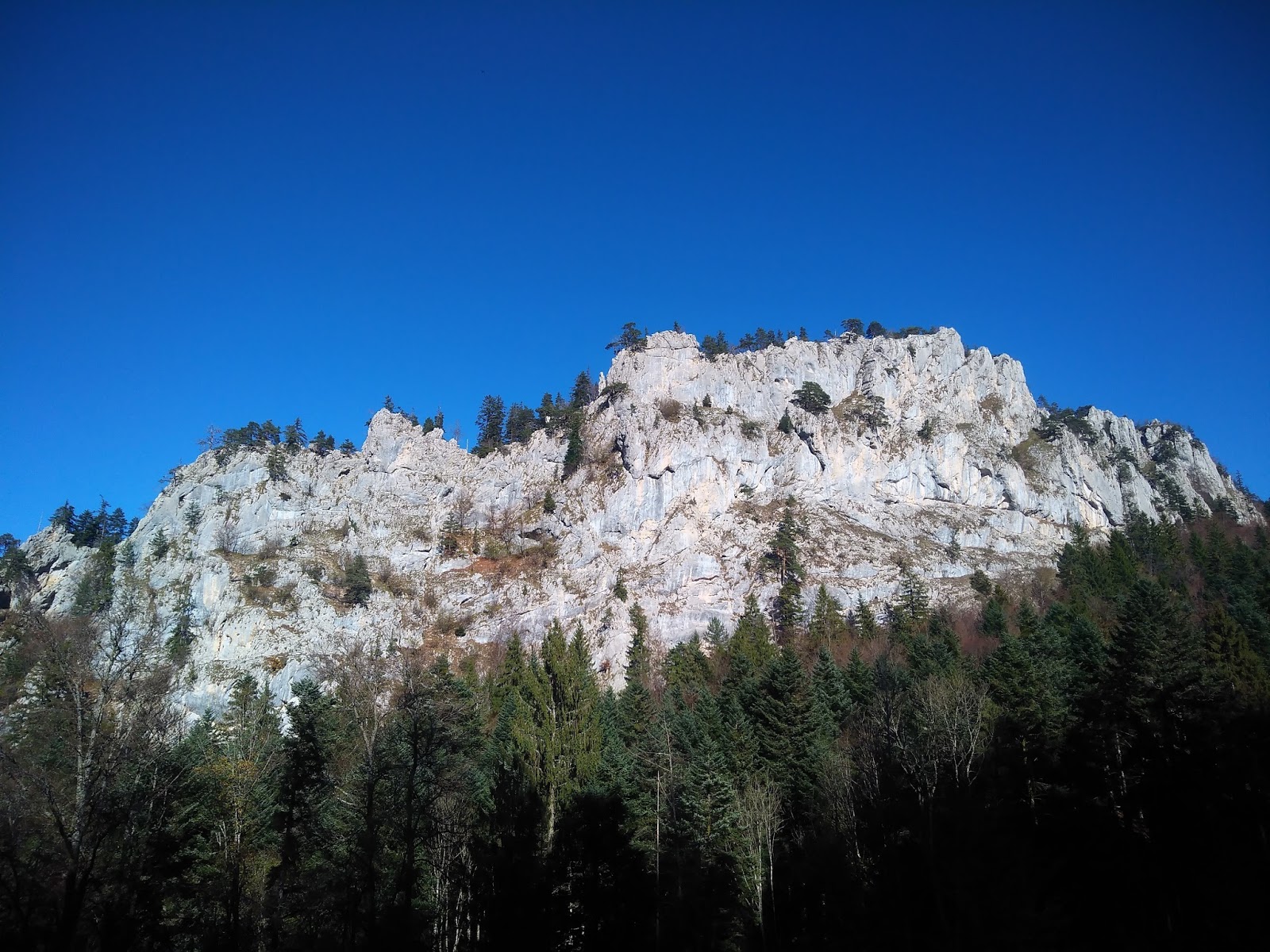
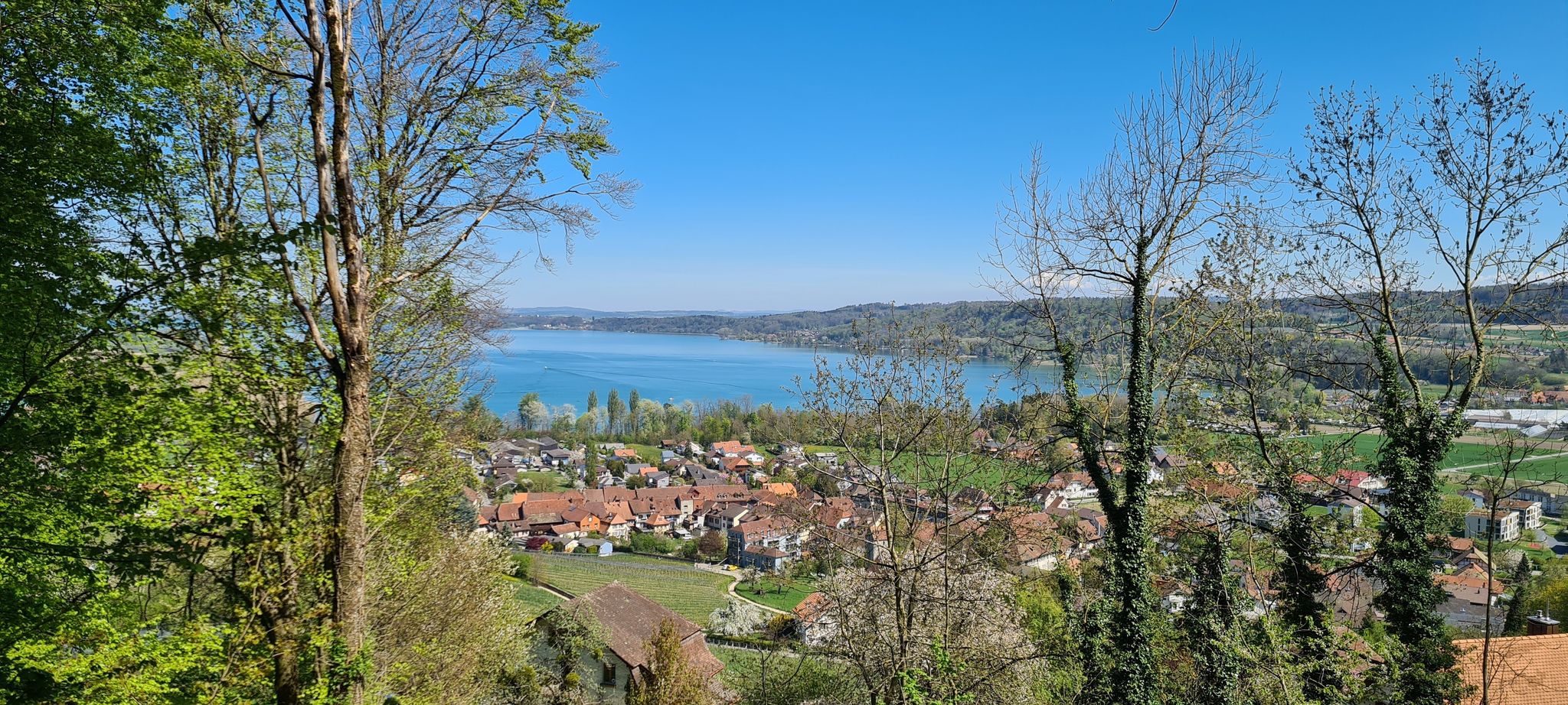
Pretty forest walk near Erlach, between Lake Biel and Lake Neuchâtel. The path makes a loop on a historical site, the fortification of Jolimont, built during the First World War. In short, a short walk that mixes history and nature.

Already more than 200,000 users!
Uphill
220m
Highest point
613m
Downhill
220m
Lowest point
450m
Route type
Loop
Download the map on your smartphone to save battery and rest assured to always keep access to the route, even without signal.
Includes IGN France and Swisstopo.
I indicate whether dogs are allowed or prohibited on this trail
All year
0 ratings
Also enjoy:

Already more than 200,000 users!