Uphill
301m
Length
8km
Duration
2h30min
Elev gain
301m
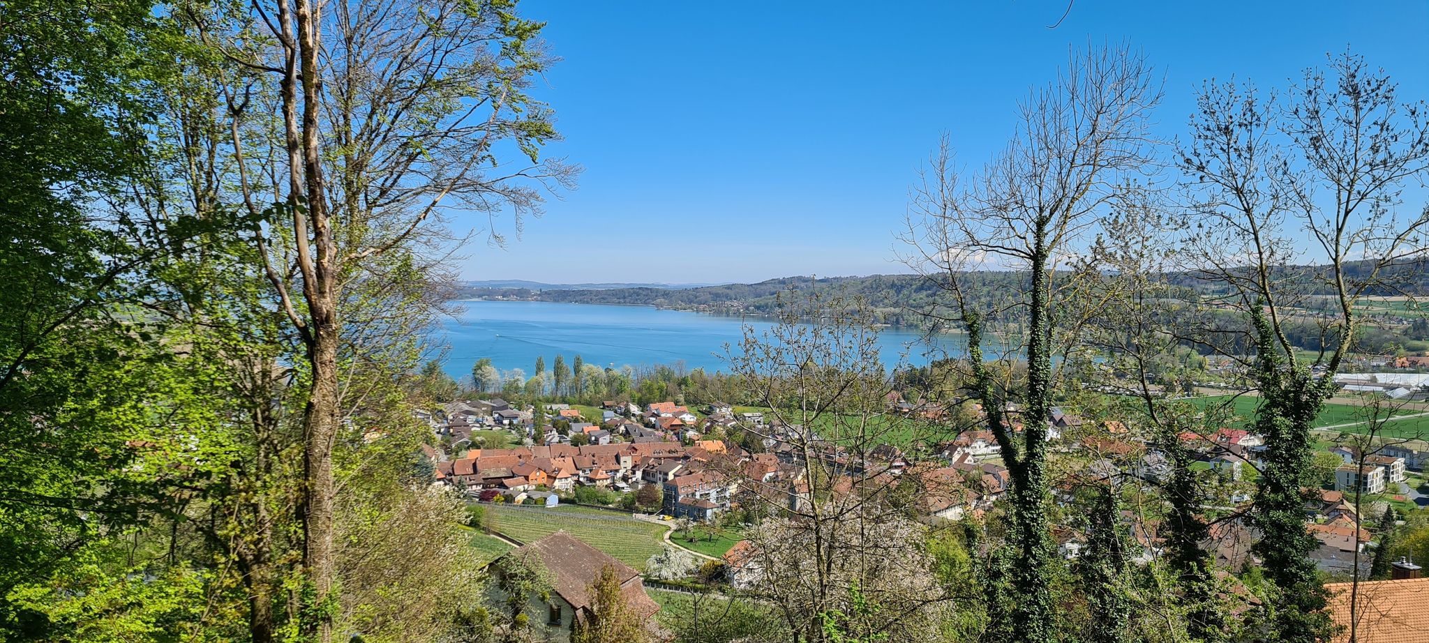
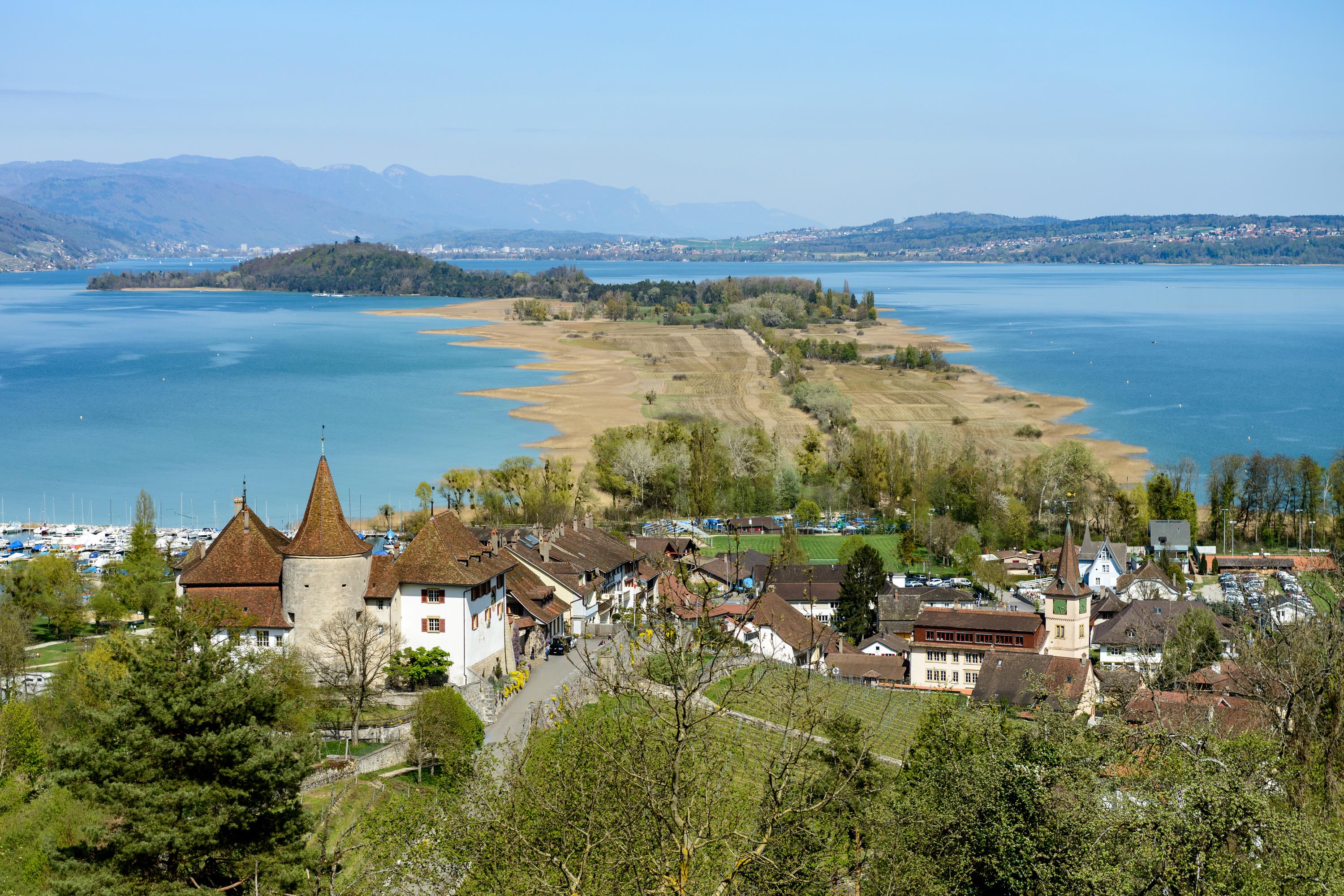
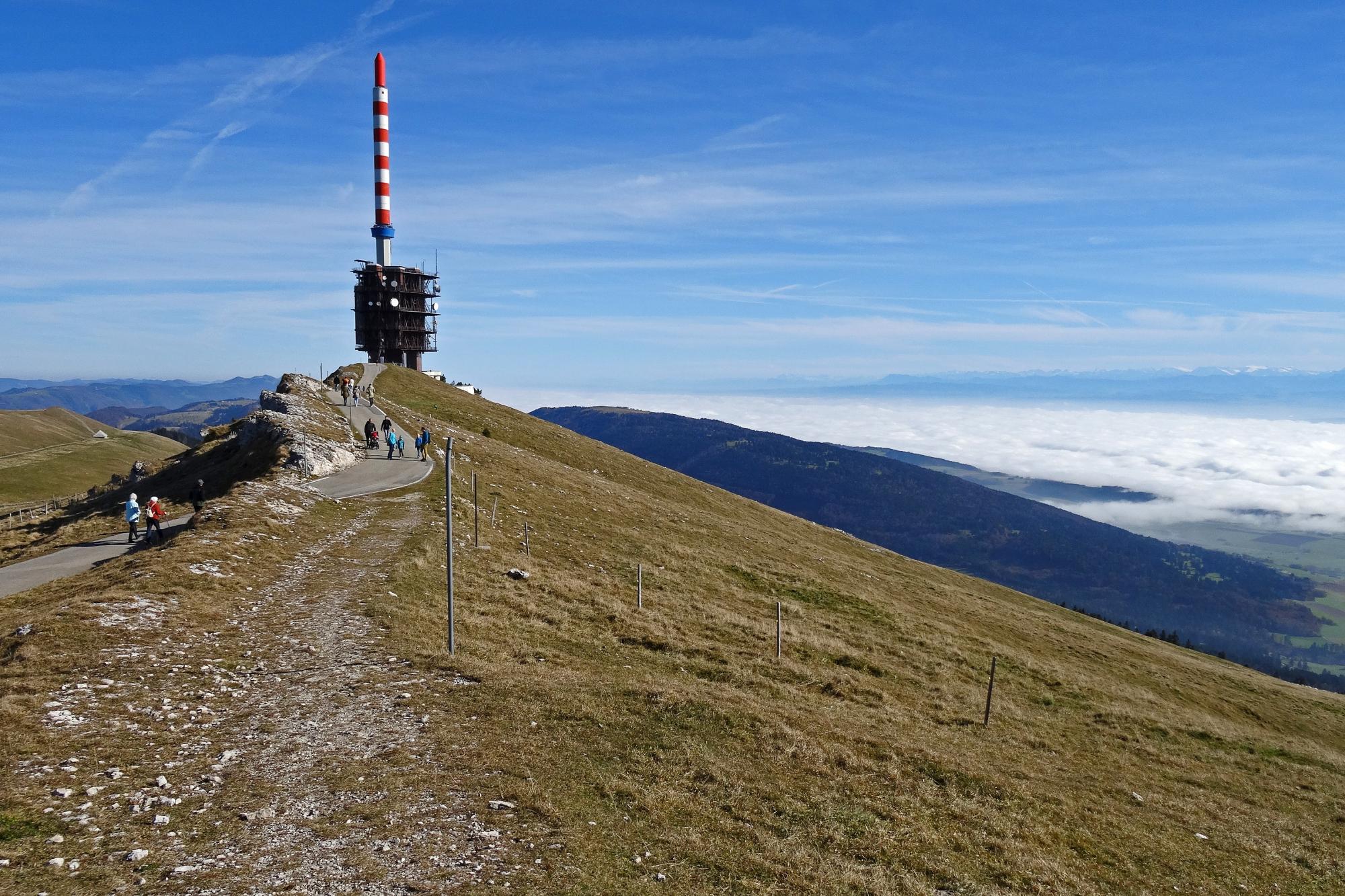
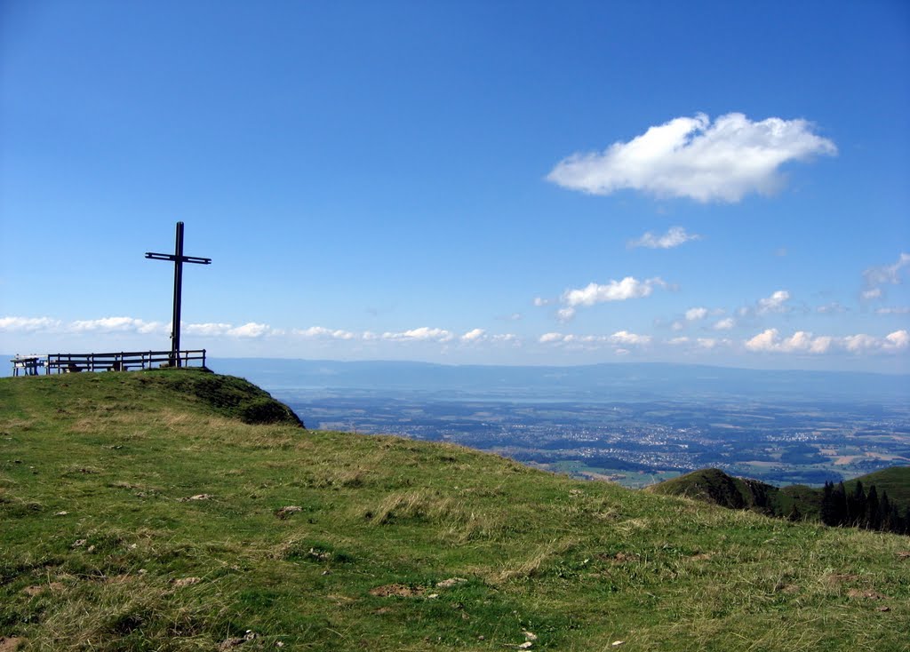
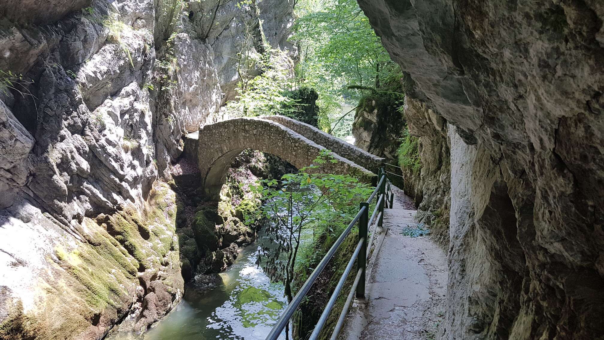
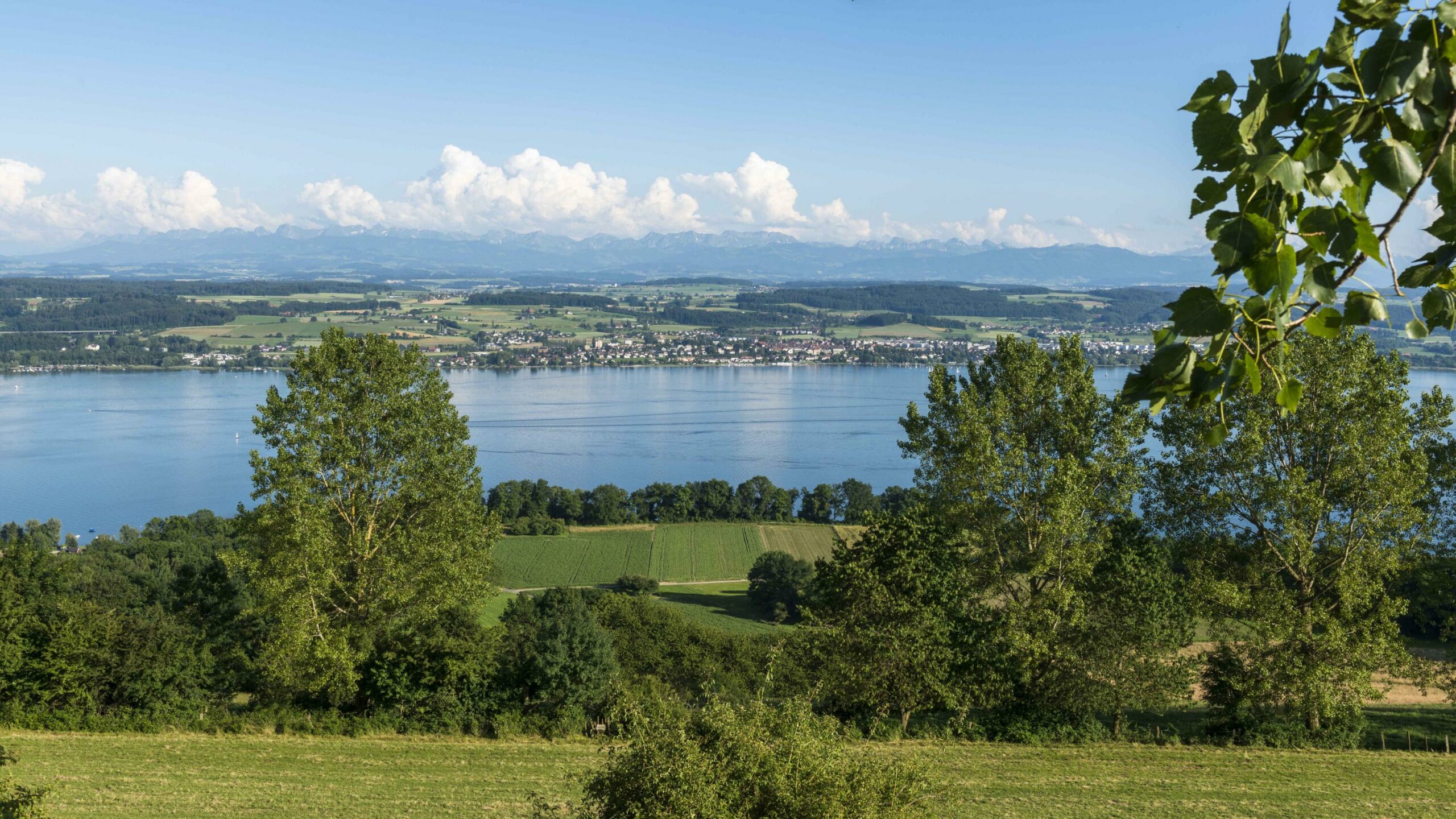
Pretty hike with multiple historical and botanical indications. This loop course is punctuated by explanatory panels and offers superb diverse and varied views. Indeed, on one side, the view overlooks the lakes of Neuchâtel and Bienne with the Jura range in the background, on the other side, the view overlooks Lake Morat with the Alps in the background.

Already more than 200,000 users!
Uphill
301m
Highest point
655m
Downhill
301m
Lowest point
441m
Route type
Loop
Download the map on your smartphone to save battery and rest assured to always keep access to the route, even without signal.
Includes IGN France and Swisstopo.
I indicate whether dogs are allowed or prohibited on this trail
All year
2 ratings
Also enjoy:

Already more than 200,000 users!