Uphill
453m
France > Bourgogne-Franche-Comté > Jura > Haut-Jura Nature Park
Length
9km
Duration
3h30min
Elev gain
453m
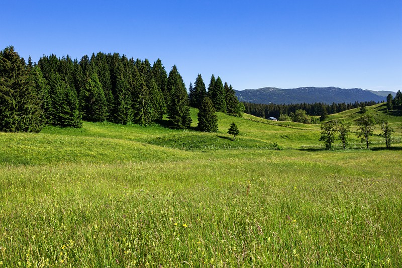
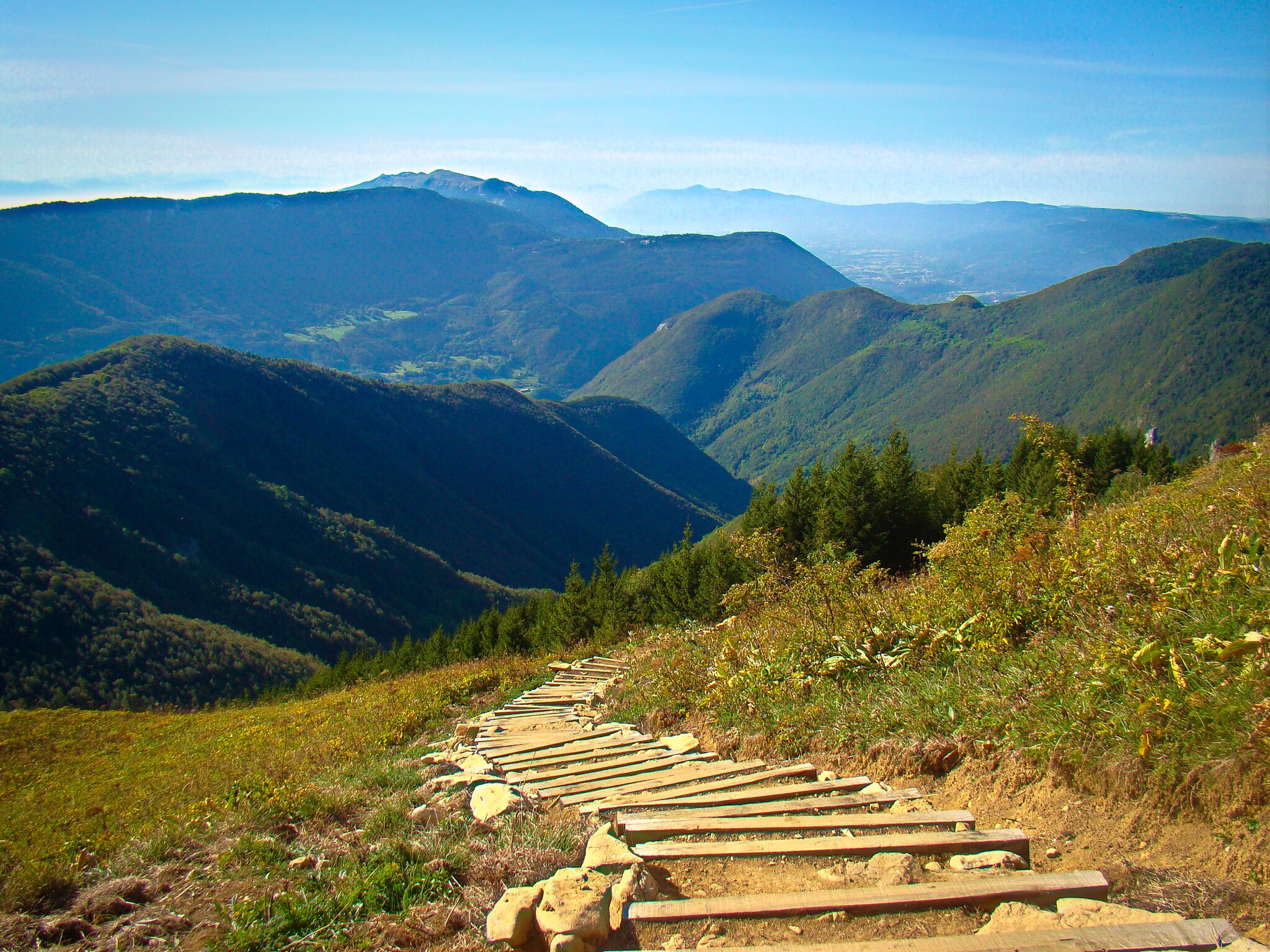
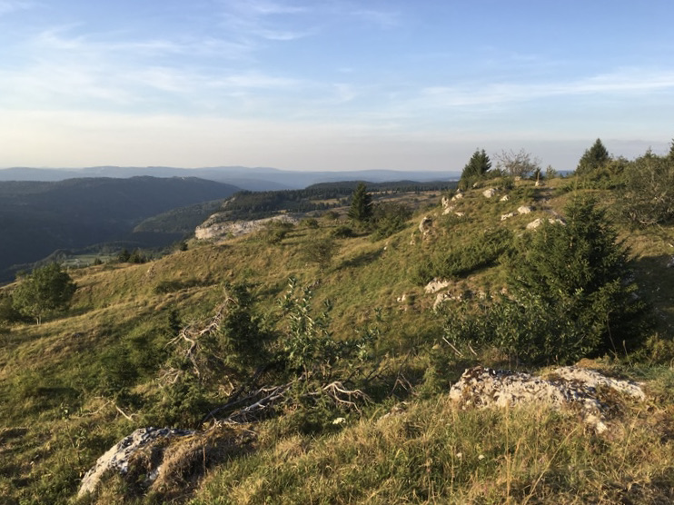
This route begins at Les Bouchoux then quickly reaches a ridge passing by the cross of the Couloirs, a superb belvedere over the valley.
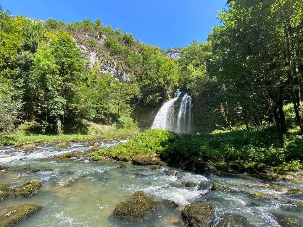
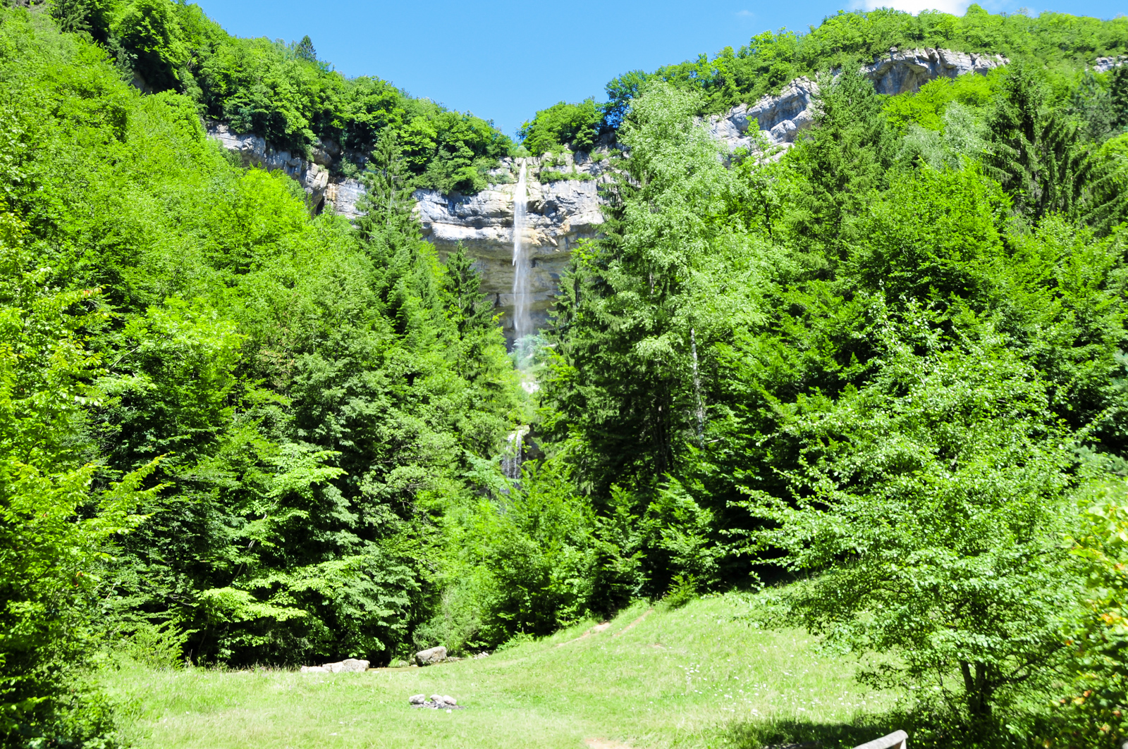
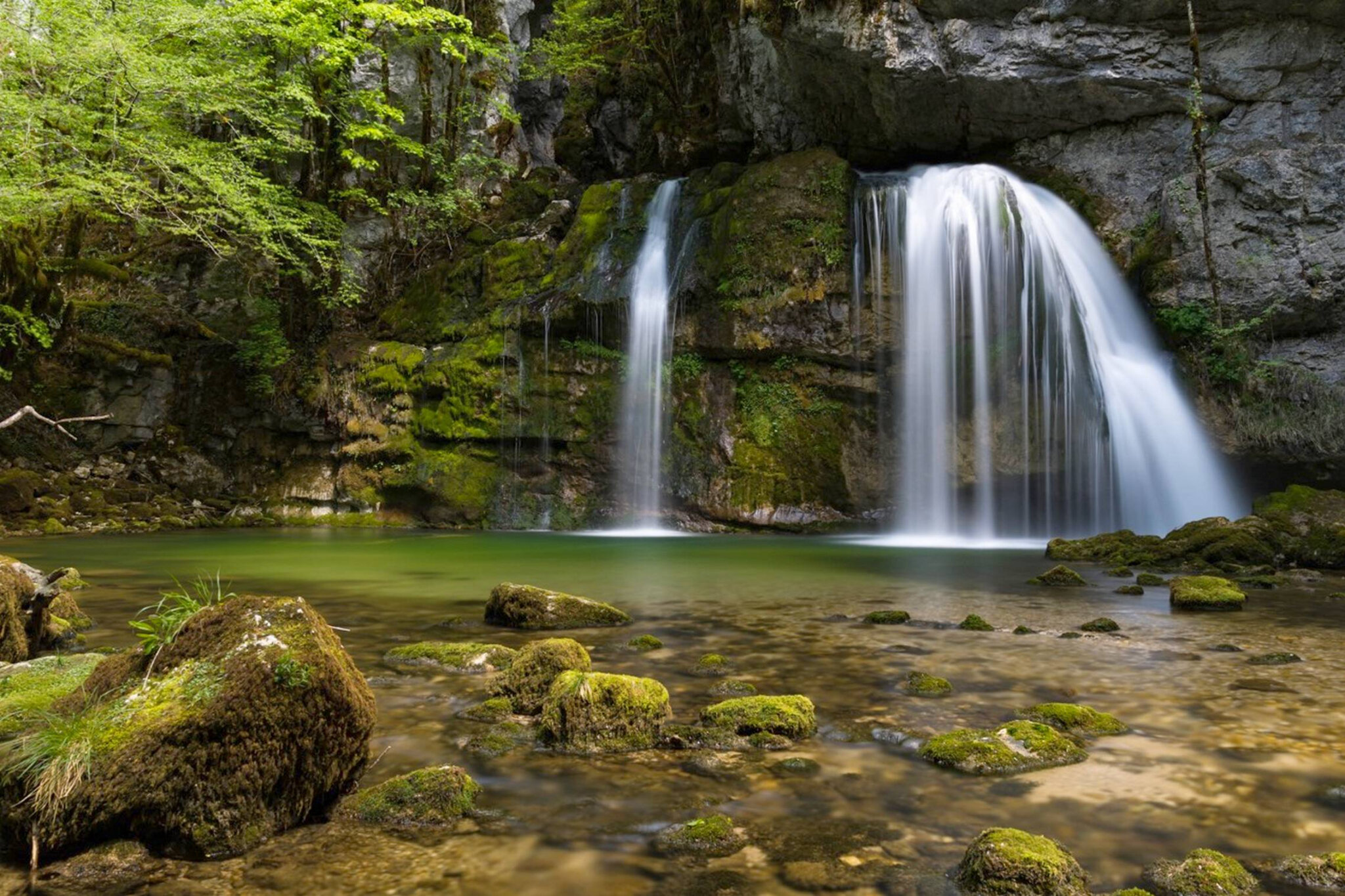
The aerial path then joins the Moulin waterfall, located on the Tacon and surrounded by a dense forest.

Already more than 200,000 users!
Uphill
453m
Highest point
1232m
Downhill
453m
Lowest point
820m
Route type
Loop
Download the map on your smartphone to save battery and rest assured to always keep access to the route, even without signal.
Includes IGN France and Swisstopo.
I indicate whether dogs are allowed or prohibited on this trail
Can be difficult in Winter
0 ratings
Also enjoy:

Already more than 200,000 users!