Uphill
352m
Length
9km
Duration
3h
Elev gain
352m
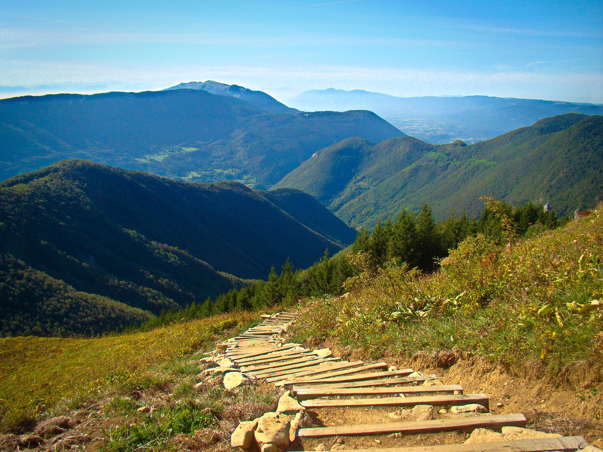
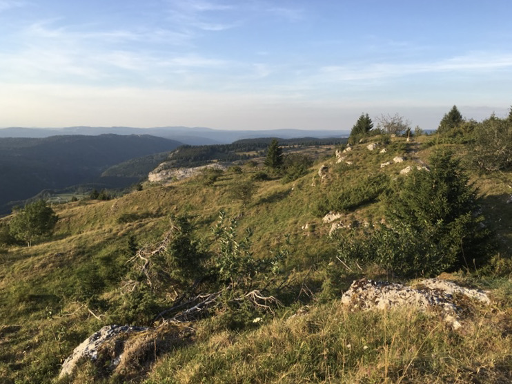
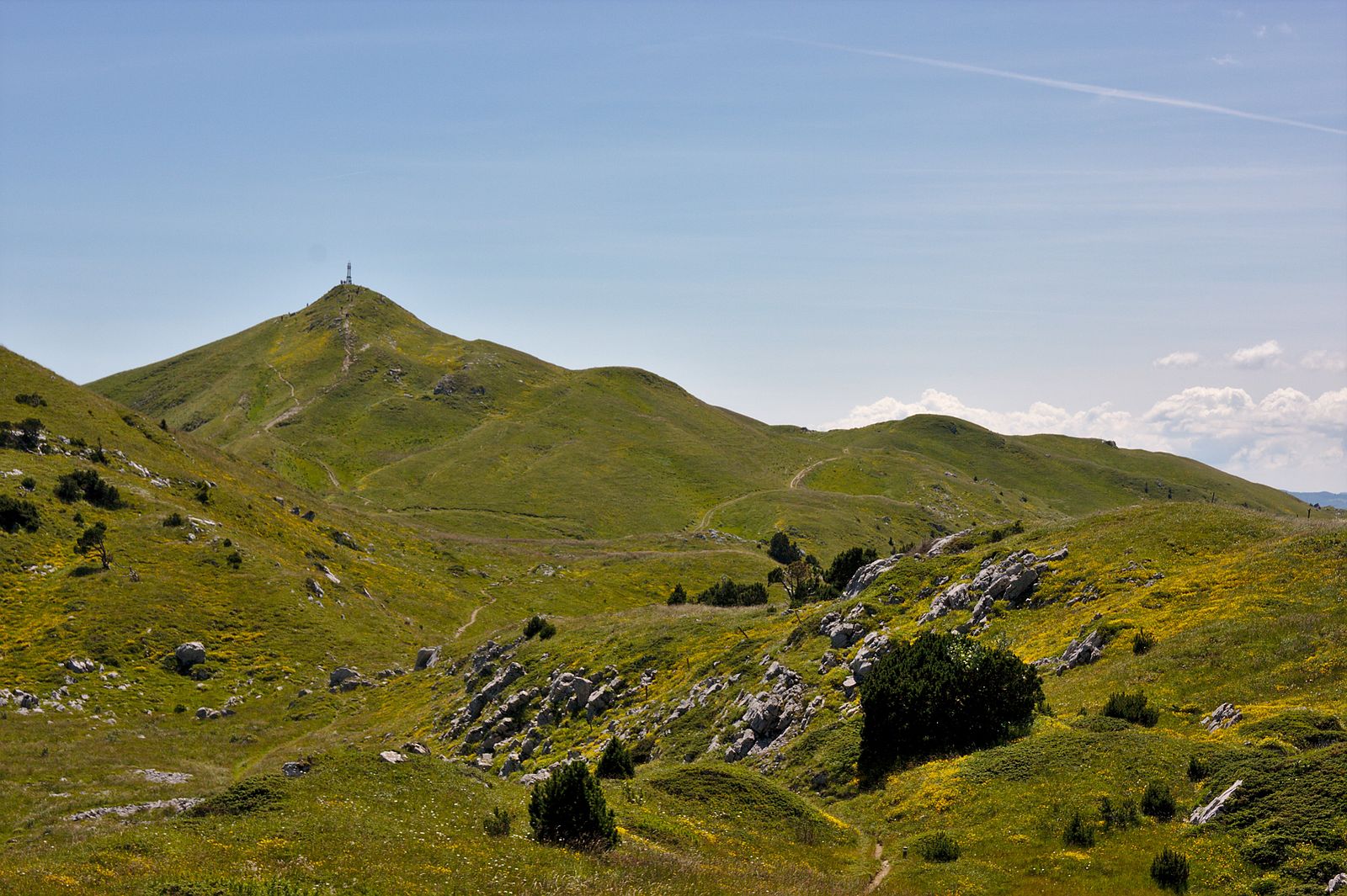
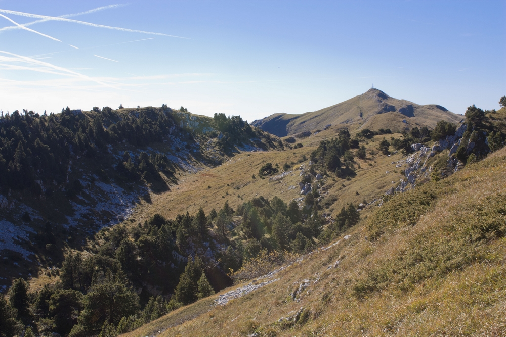
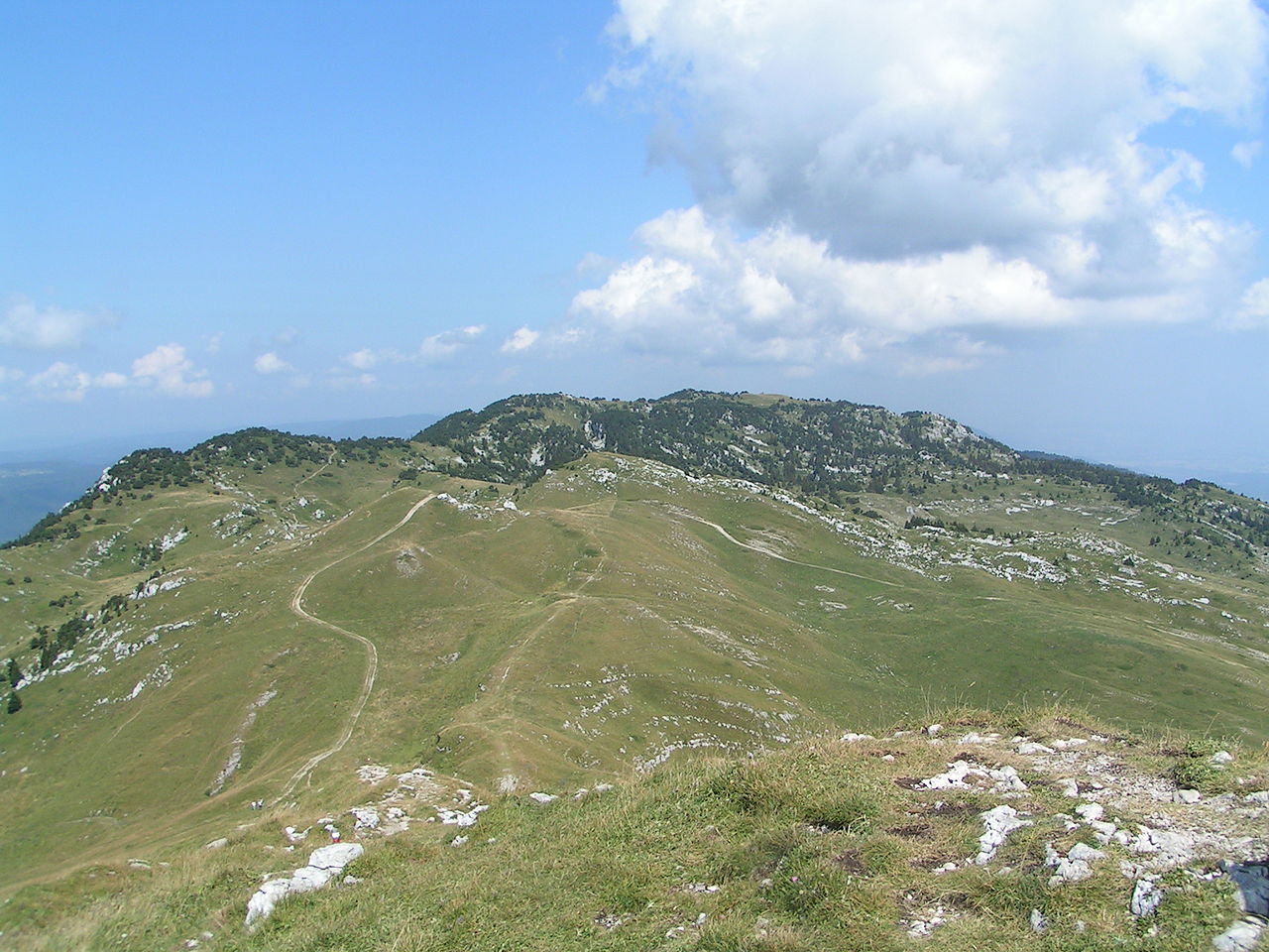
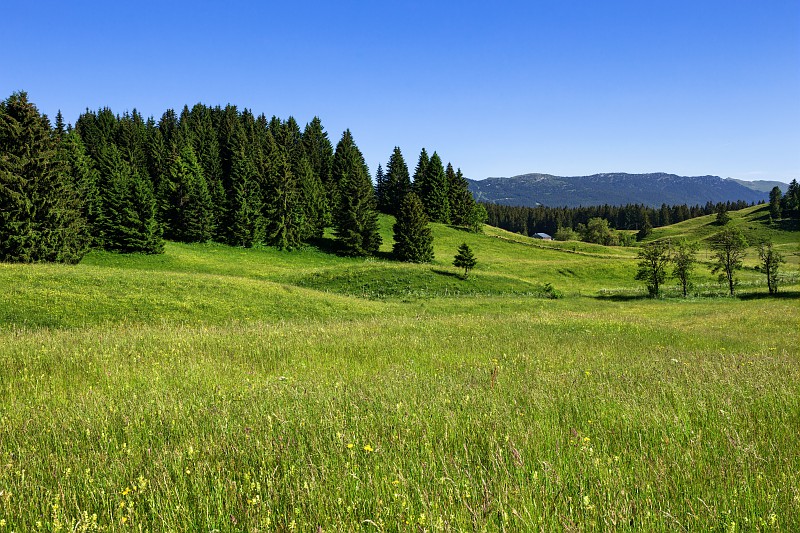
Hike passing by several valleys as well as by the Borne au Lion, which was once the border between France and... Spain!

Already more than 200,000 users!
Uphill
352m
Highest point
1387m
Downhill
352m
Lowest point
1267m
Route type
Loop
Download the map on your smartphone to save battery and rest assured to always keep access to the route, even without signal.
Includes IGN France and Swisstopo.
I indicate whether dogs are allowed or prohibited on this trail
Can be difficult in Winter
0 ratings
Also enjoy:

Already more than 200,000 users!