Uphill
952m
France > Auvergne-Rhône-Alpes > Ain > Haut-Jura Nature Park
Length
10km
Duration
6h30min
Elev gain
952m
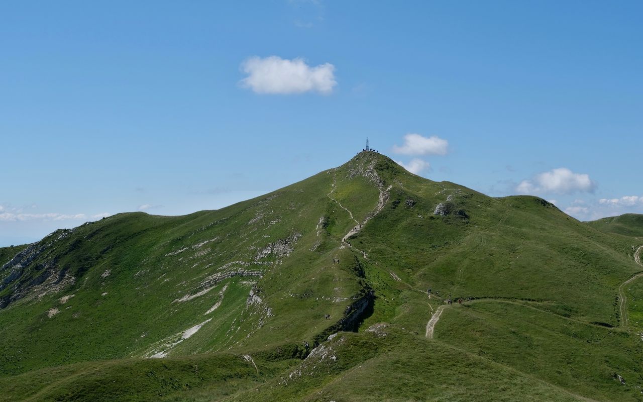
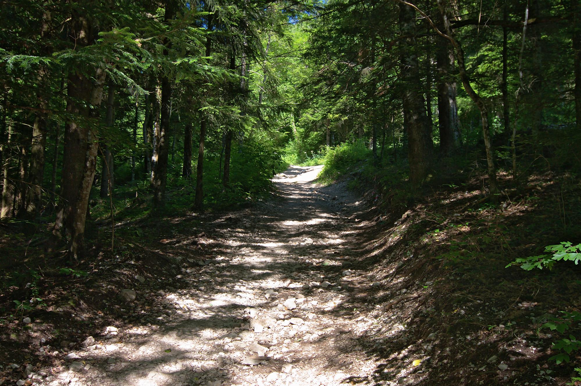
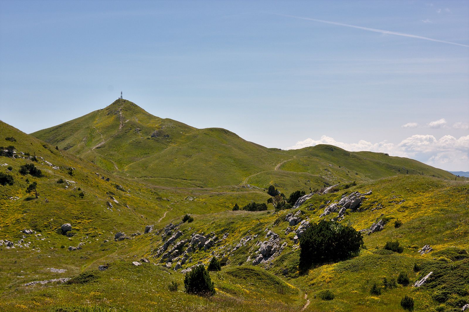
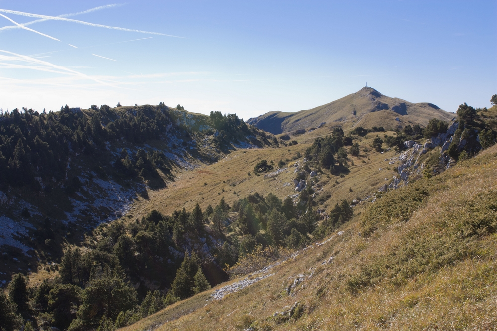
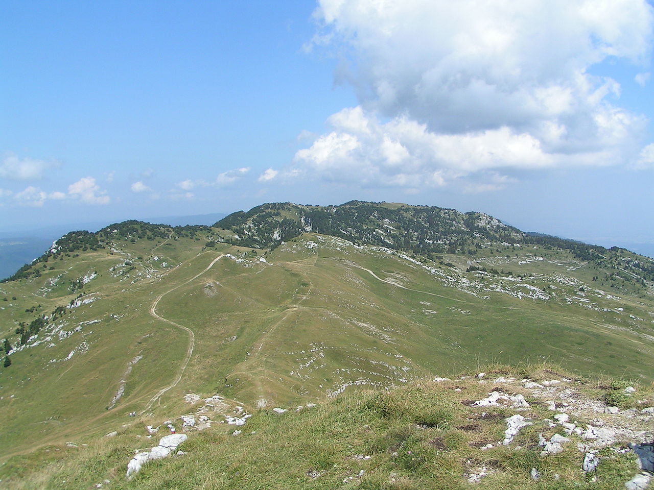
After a first difficult part in the forest to climb up to Reculet (1,717 m), the route becomes less steep and more open up to the Crêt de la Neige, located at an altitude of 1,720 m. Once at the top, the view and the calm are to be savored before heading back to the starting point.

Already more than 200,000 users!
Uphill
952m
Highest point
1729m
Downhill
952m
Lowest point
869m
Route type
Loop
Download the map on your smartphone to save battery and rest assured to always keep access to the route, even without signal.
Includes IGN France and Swisstopo.
I indicate whether dogs are allowed or prohibited on this trail
From May to October
1 rating
Very nice walk, but hard in the beginning. You need to be in a good condition to do this trail.
Also enjoy:

Already more than 200,000 users!