Uphill
1037m
France > Auvergne-Rhône-Alpes > Ain > Haut-Jura Nature Park
Length
16km
Duration
7h30min
Elev gain
1037m
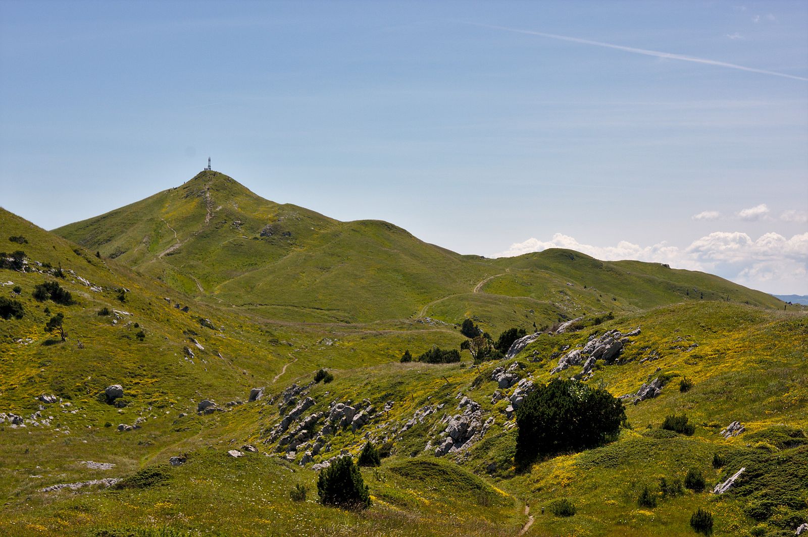
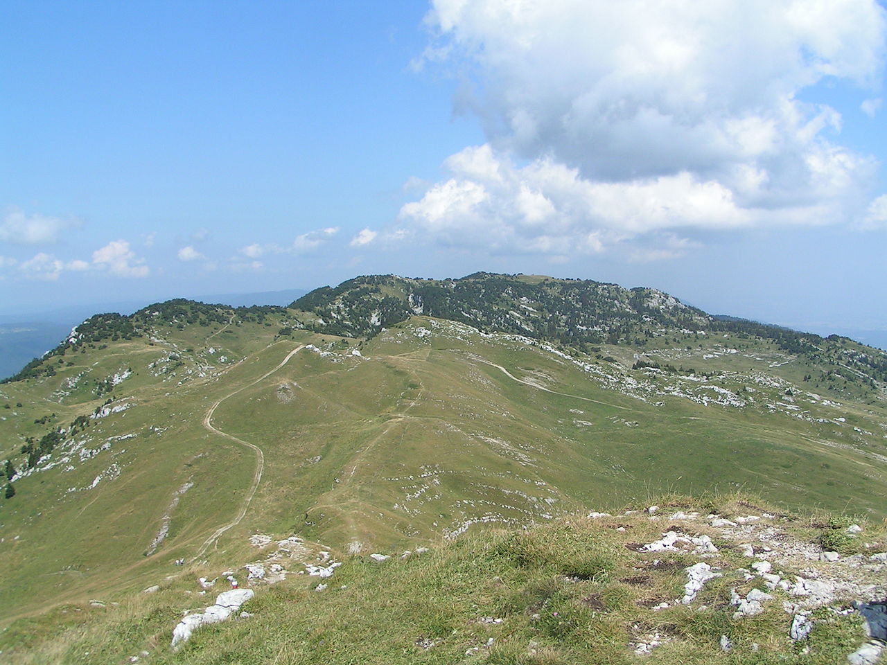
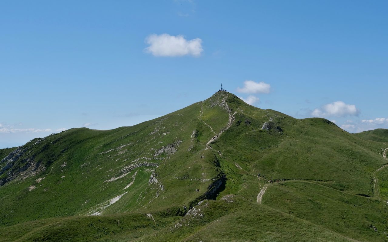
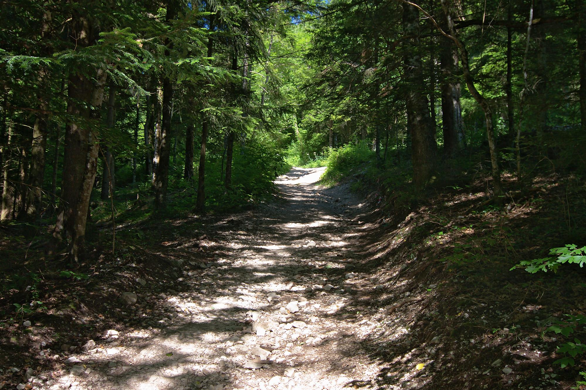
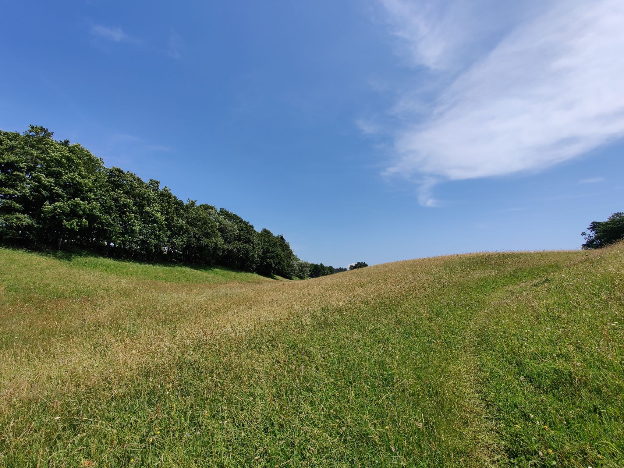
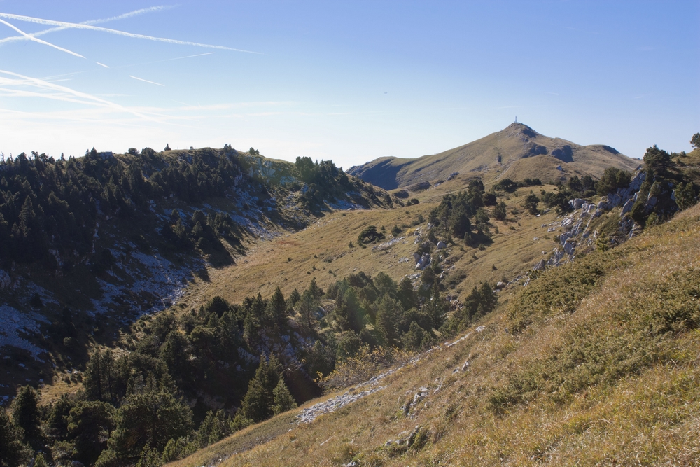
Departing from Lélex, this route has a significant elevation gain to reach the 1,720 m highest point in the Jura: the Crêt de la Neige. This summit offers an exceptional view of Lake Geneva and the Alps.

Already more than 200,000 users!
Uphill
1037m
Highest point
1737m
Downhill
1037m
Lowest point
845m
Route type
Loop
Download the map on your smartphone to save battery and rest assured to always keep access to the route, even without signal.
Includes IGN France and Swisstopo.
I indicate whether dogs are allowed or prohibited on this trail
From May to October
1 rating
Also enjoy:

Already more than 200,000 users!