Uphill
99m
Length
4km
Duration
1h
Elev gain
99m
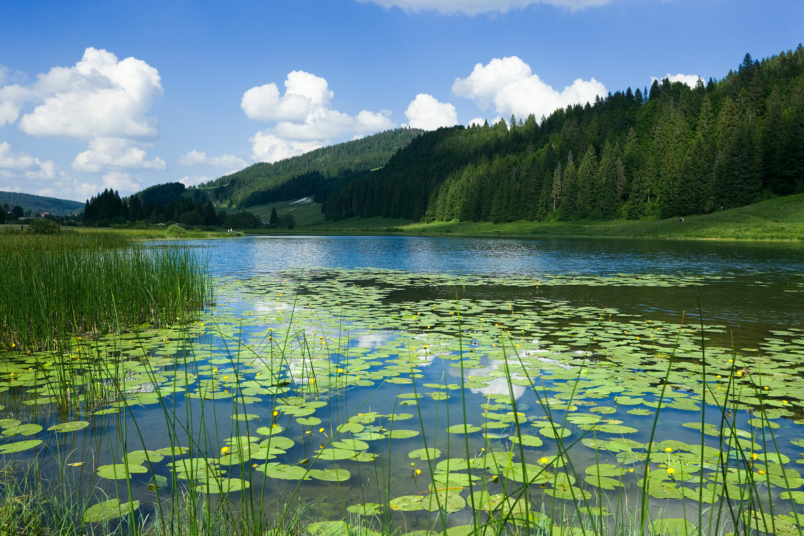
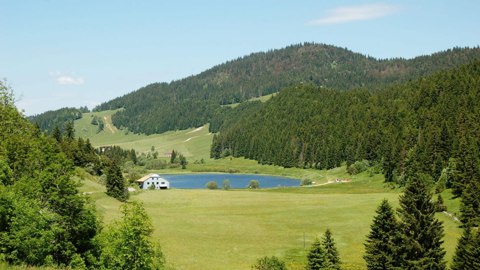
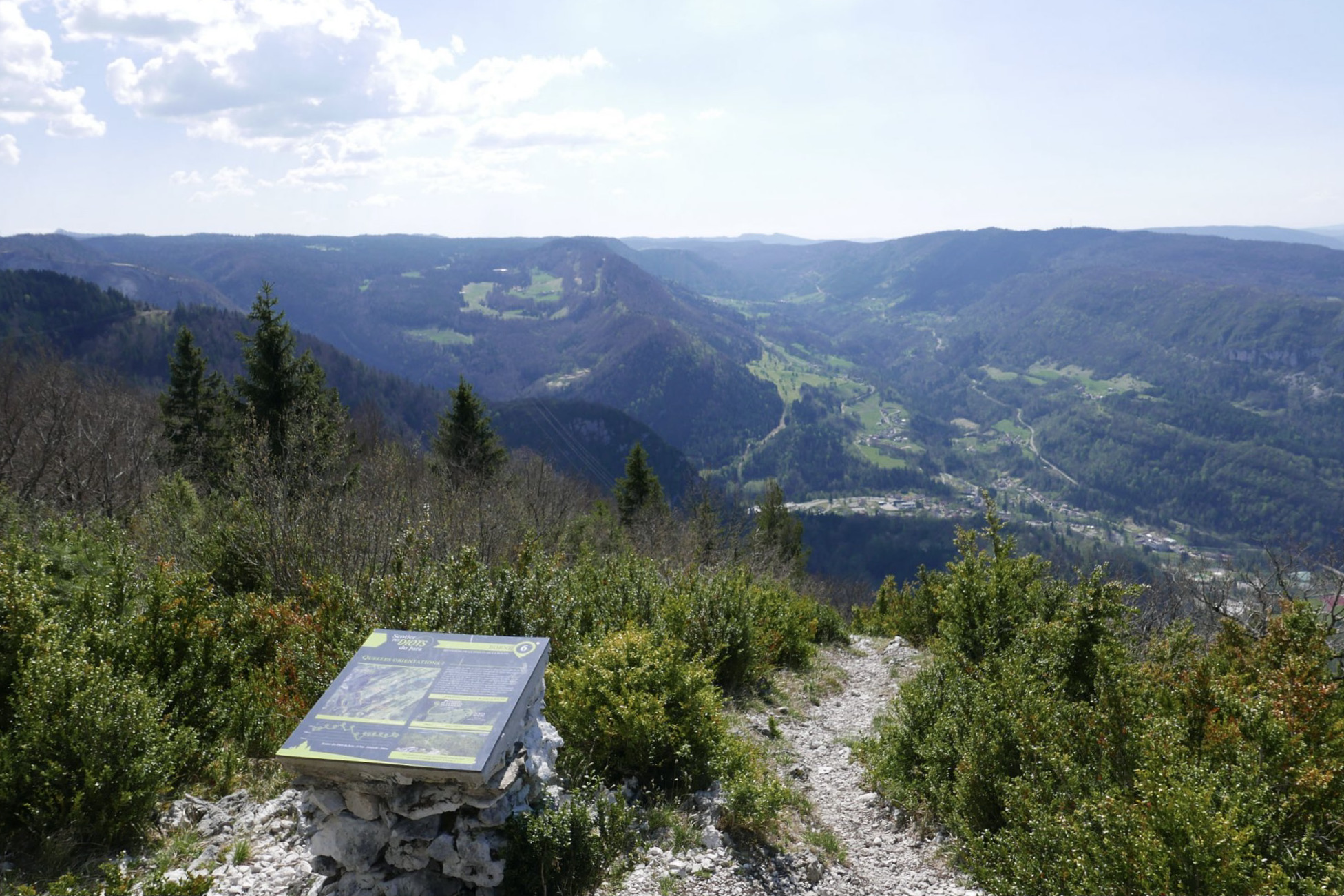
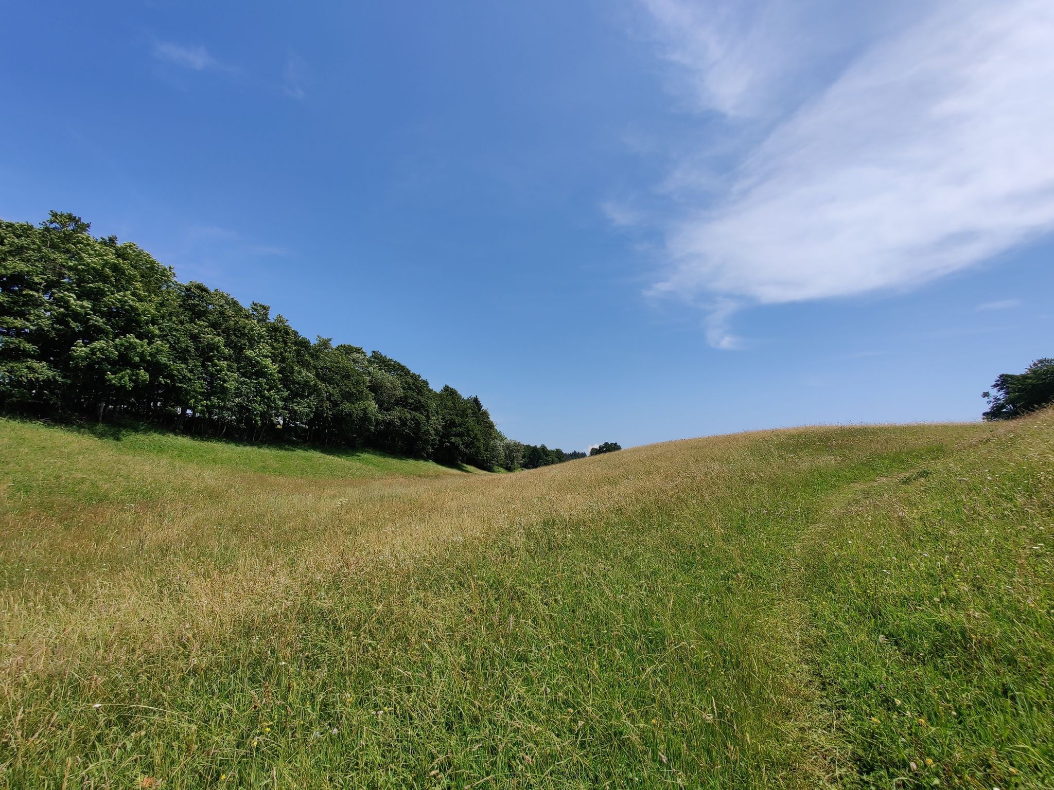
This route begins in Lajoux then takes a little height until you reach the small chalet La Baumette. The return to the starting point is done by the same path, all in a setting with bucolic landscapes.

Already more than 200,000 users!
Uphill
99m
Highest point
1251m
Downhill
99m
Lowest point
1174m
Route type
There and back
Download the map on your smartphone to save battery and rest assured to always keep access to the route, even without signal.
Includes IGN France and Swisstopo.
I indicate whether dogs are allowed or prohibited on this trail
Can be difficult in Winter
0 ratings
Also enjoy:

Already more than 200,000 users!