Uphill
150m
France > Bourgogne-Franche-Comté > Jura > Haut-Jura Nature Park
Length
4km
Duration
1h30min
Elev gain
150m
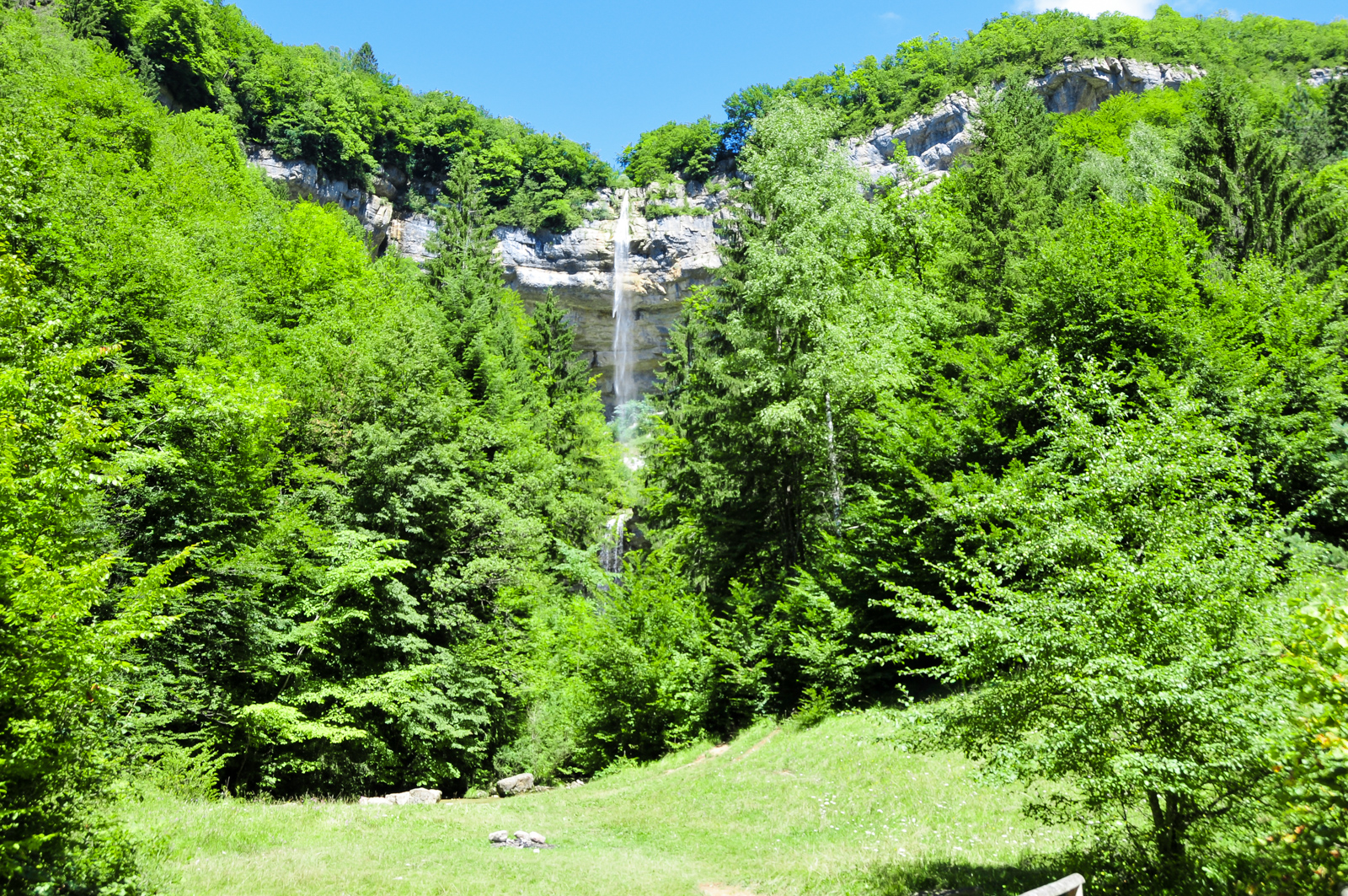
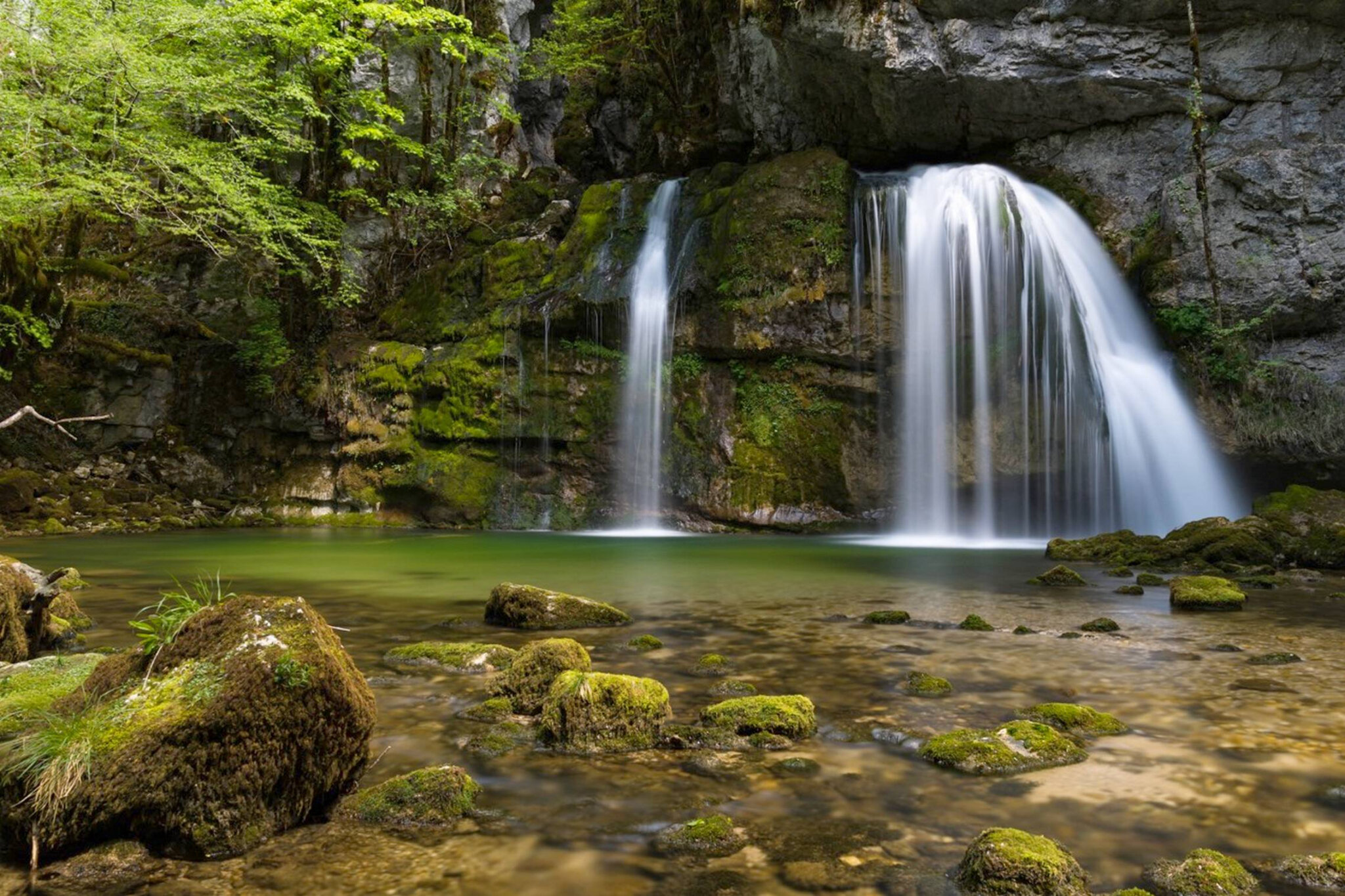
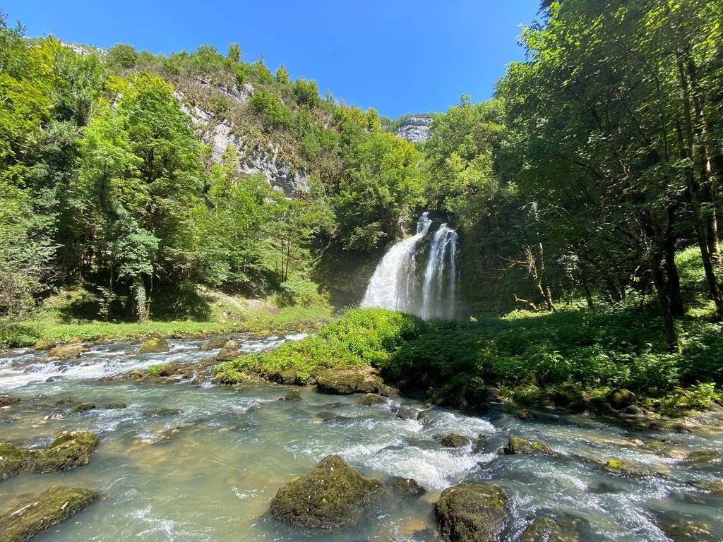
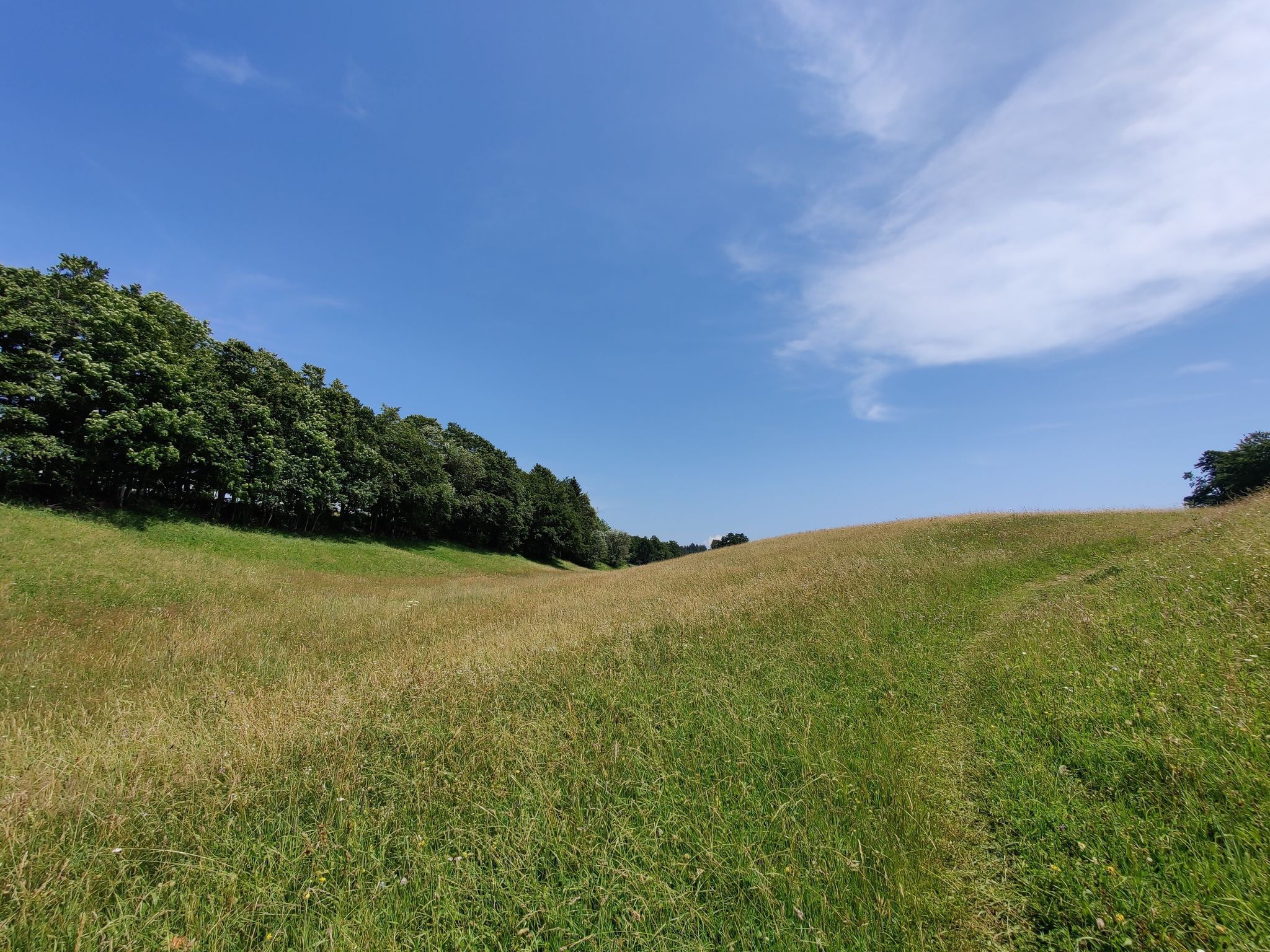
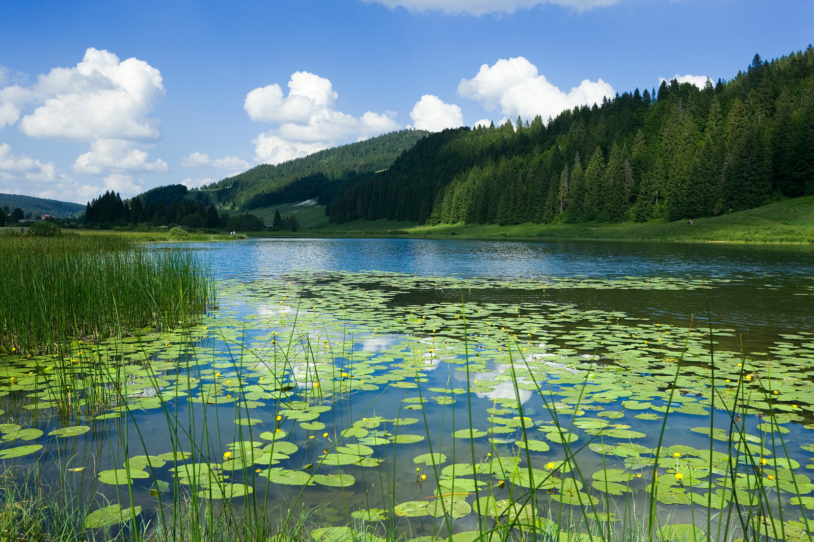
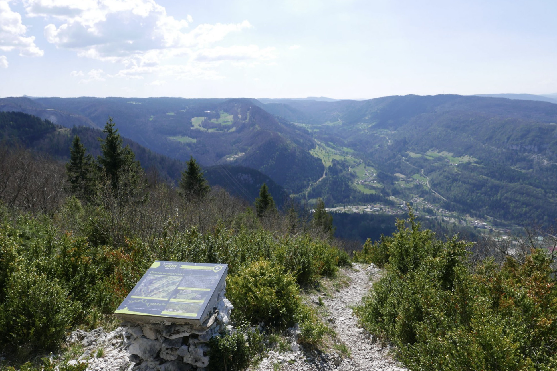
This route makes a nice loop in the forest until you reach the Pointe de la Roche belvedere. After a short break to enjoy the view, the return to the starting point also takes place mainly in the forest.

Already more than 200,000 users!
Uphill
150m
Highest point
1152m
Downhill
150m
Lowest point
1012m
Route type
Loop
Download the map on your smartphone to save battery and rest assured to always keep access to the route, even without signal.
Includes IGN France and Swisstopo.
I indicate whether dogs are allowed or prohibited on this trail
Can be difficult in Winter
0 ratings
Also enjoy:

Already more than 200,000 users!