Uphill
217m
France > Auvergne-Rhône-Alpes > Ain > Haut-Jura Nature Park
Length
5km
Duration
2h
Elev gain
217m
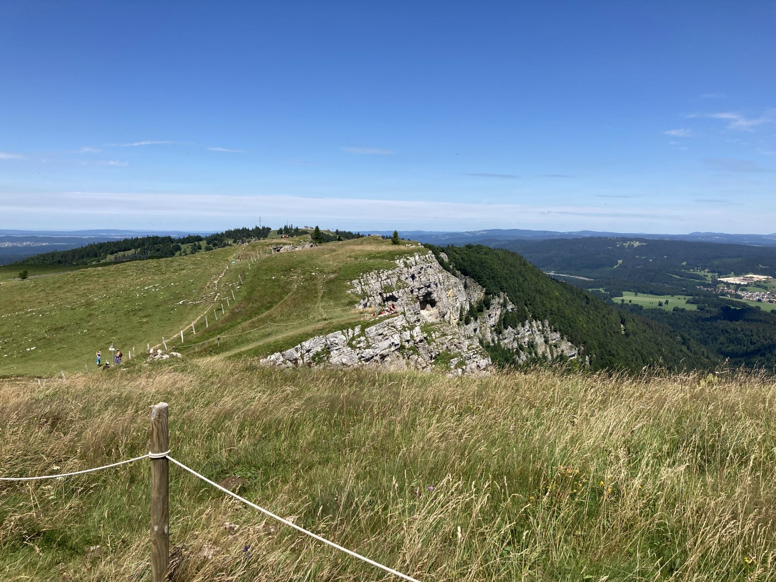
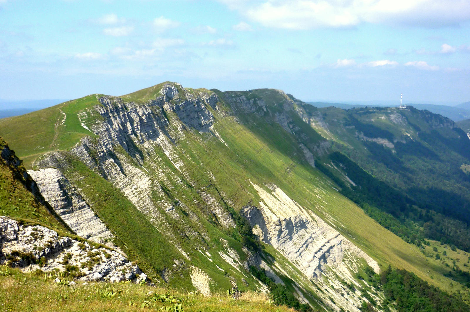
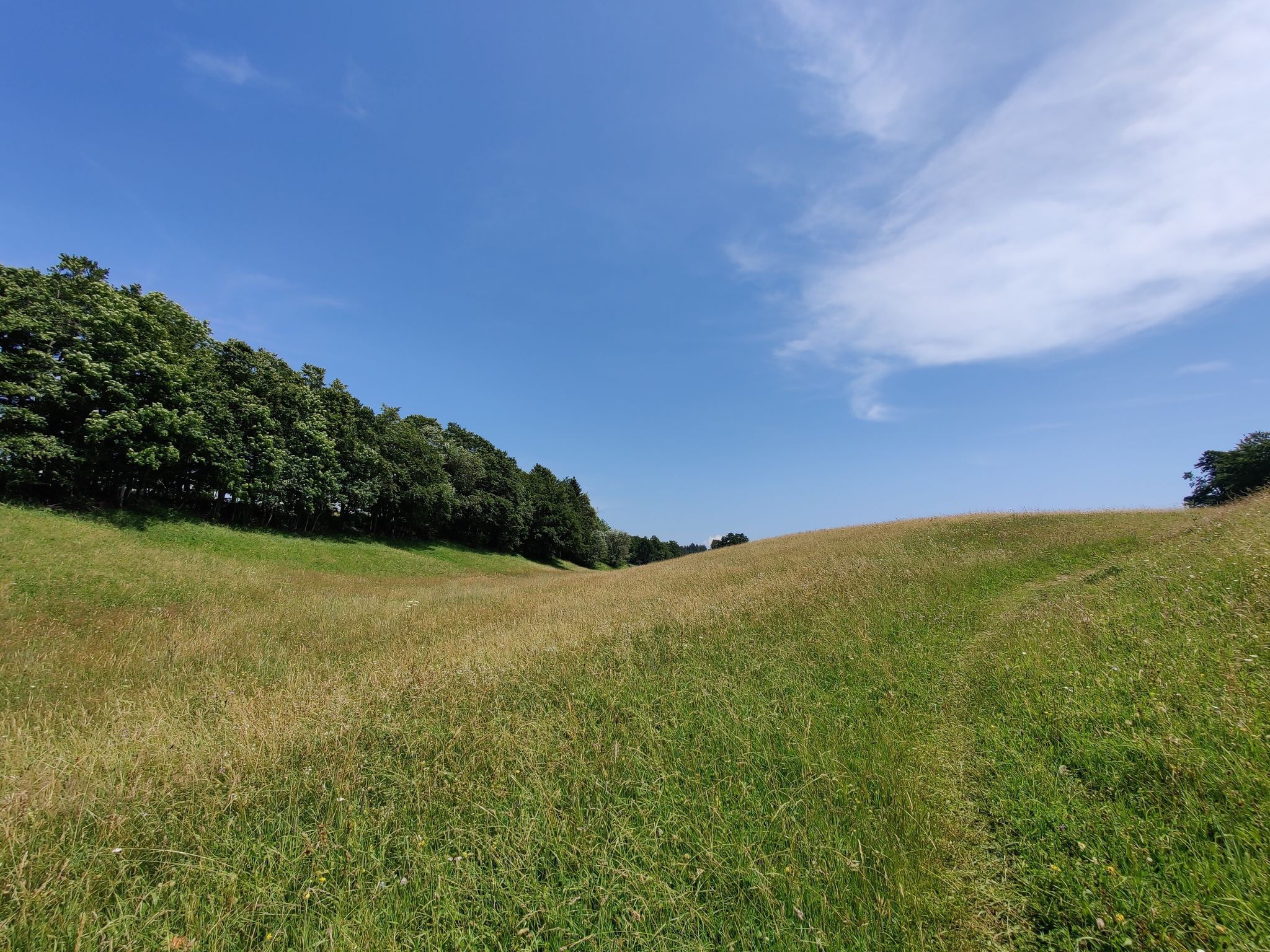
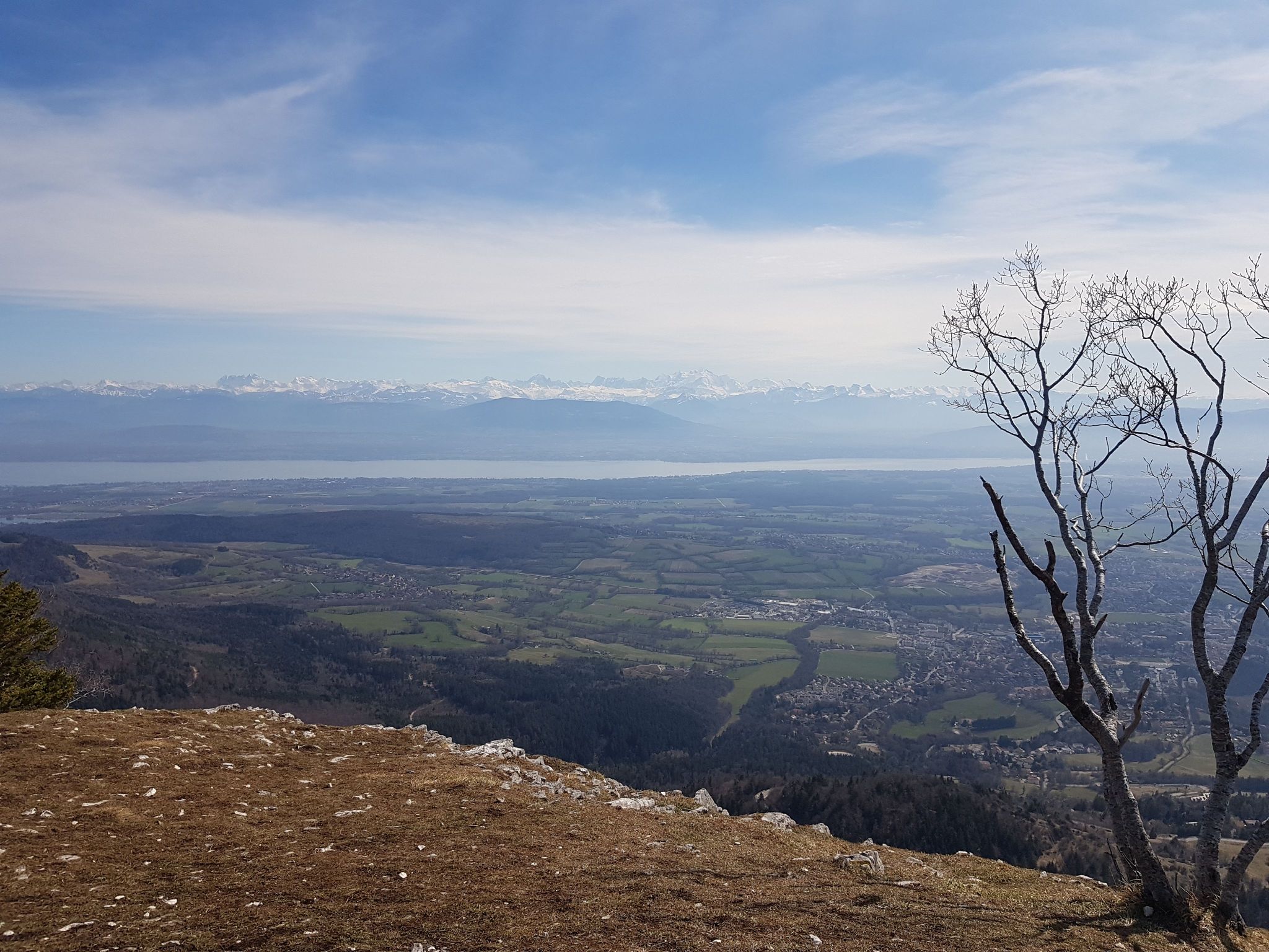
Short round trip in the forest leading to the Turet belvedere. At the top, the view of the Alps, Lake Geneva and the Pays de Gex is splendid. After enjoying the panorama, the descent to the starting point is done by the same path.

Already more than 200,000 users!
Uphill
217m
Highest point
1408m
Downhill
217m
Lowest point
1317m
Route type
There and back
Download the map on your smartphone to save battery and rest assured to always keep access to the route, even without signal.
Includes IGN France and Swisstopo.
Forbidden
Can be difficult in Winter
3 ratings
Also enjoy:

Already more than 200,000 users!