Uphill
63m
Length
1km
Duration
30min
Elev gain
63m
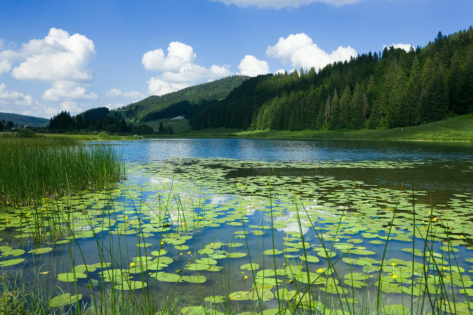
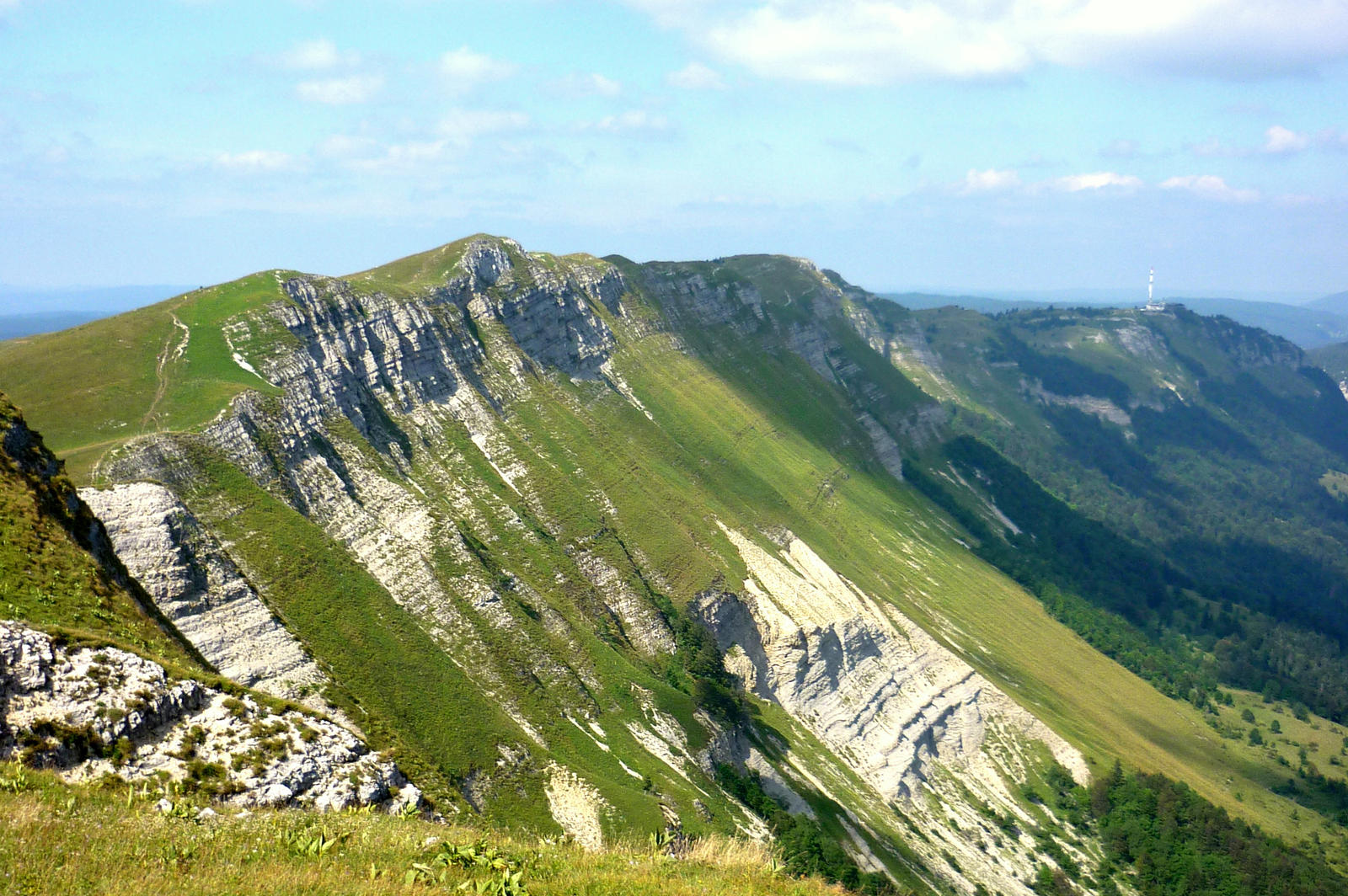
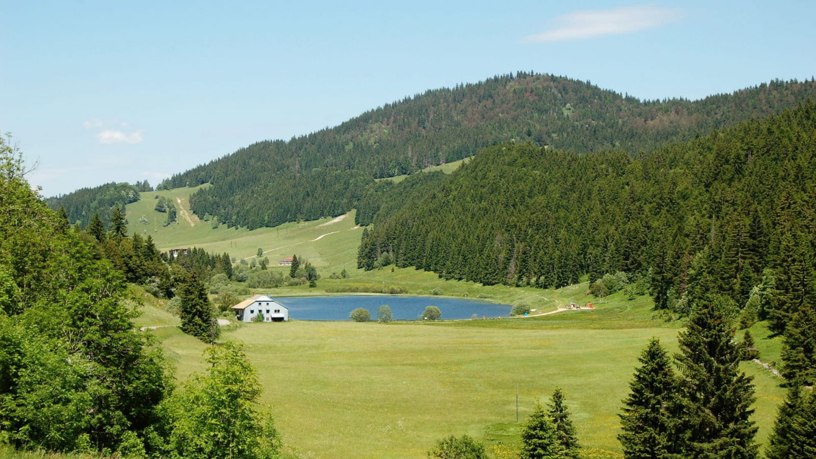
Lake Lamoura is the highest lake in the Jura, at 1,156 meters above sea level. This walk goes around it, offering pretty views of the lake and the Massacre forest overlooking it.

Already more than 200,000 users!
Uphill
63m
Highest point
1199m
Downhill
63m
Lowest point
1152m
Route type
Loop
Download the map on your smartphone to save battery and rest assured to always keep access to the route, even without signal.
Includes IGN France and Swisstopo.
I indicate whether dogs are allowed or prohibited on this trail
Can be difficult in Winter
0 ratings
Also enjoy:

Already more than 200,000 users!