Uphill
260m
France > Auvergne-Rhône-Alpes > Ain > Haut-Jura Nature Park
Length
2km
Duration
1h30min
Elev gain
260m
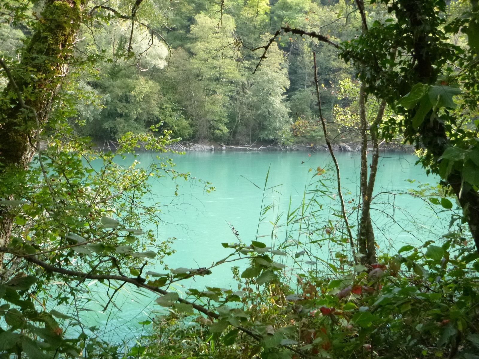
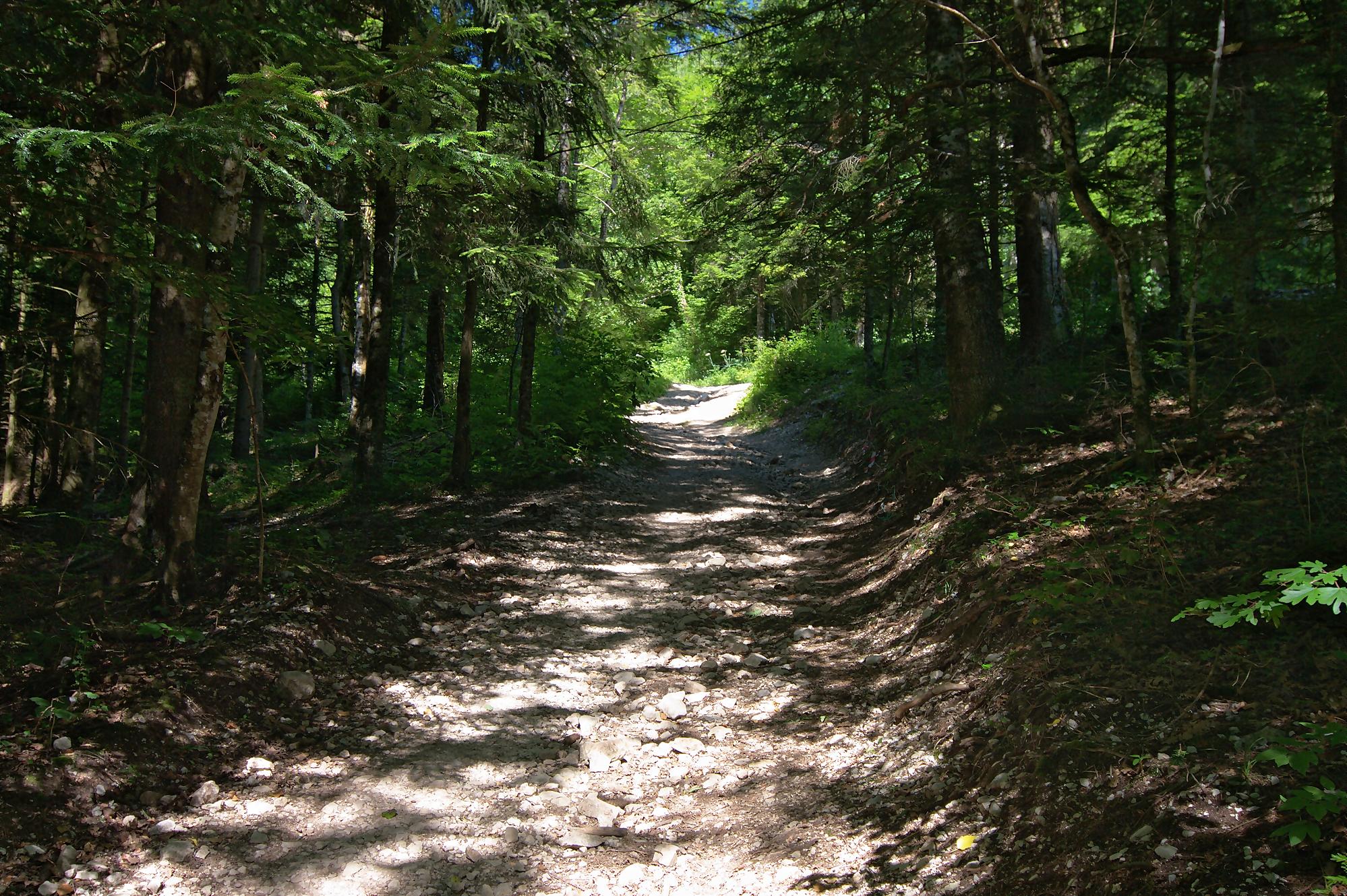
Pretty little hike from Thoiry. The route makes a round trip in the forest to the Tiocan, ideal for a short family outing.

Already more than 200,000 users!
Uphill
260m
Highest point
869m
Downhill
260m
Lowest point
602m
Route type
There and back
Download the map on your smartphone to save battery and rest assured to always keep access to the route, even without signal.
Includes IGN France and Swisstopo.
I indicate whether dogs are allowed or prohibited on this trail
All year
3 ratings
Also enjoy:

Already more than 200,000 users!