Uphill
0m

France > Bourgogne-Franche-Comté > Nièvre > Morvan Regional Natural Park
Length
1km
Duration
30min
Elev gain
0m
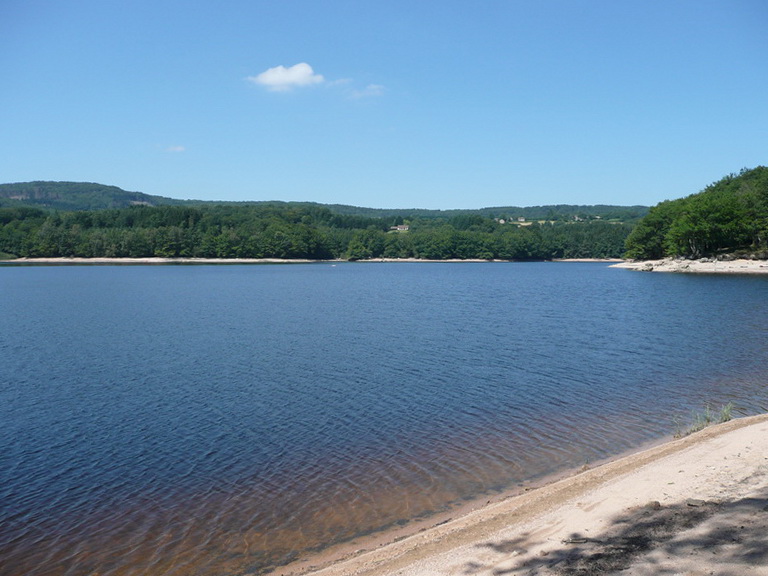
Looking for a little Sunday stroll? There it is. This loop goes around the Goulot pond in a wild environment, to offer a breath of fresh air!

Already more than 200,000 users!
Uphill
0m
Highest point
422m
Downhill
0m
Lowest point
410m
Route type
Loop
Download the map on your smartphone to save battery and rest assured to always keep access to the route, even without signal.
Includes IGN France and Swisstopo.
I indicate whether dogs are allowed or prohibited on this trail
All year
0 ratings
Also enjoy:

Already more than 200,000 users!