Uphill
185m
France > Bourgogne-Franche-Comté > Nièvre > Morvan Regional Natural Park
Length
11km
Duration
3h
Elev gain
185m
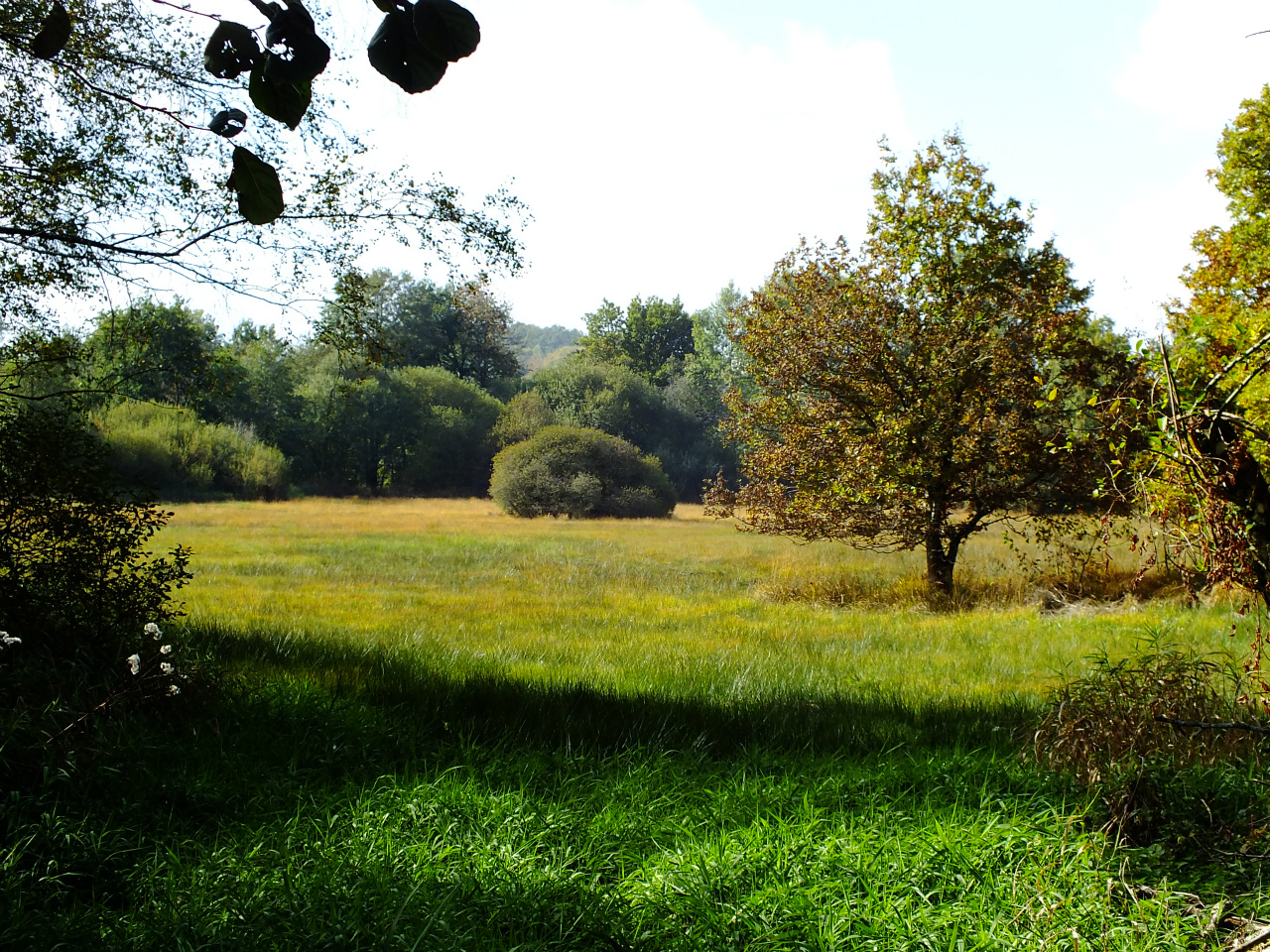
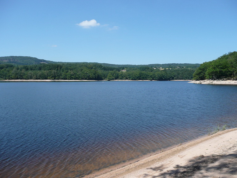
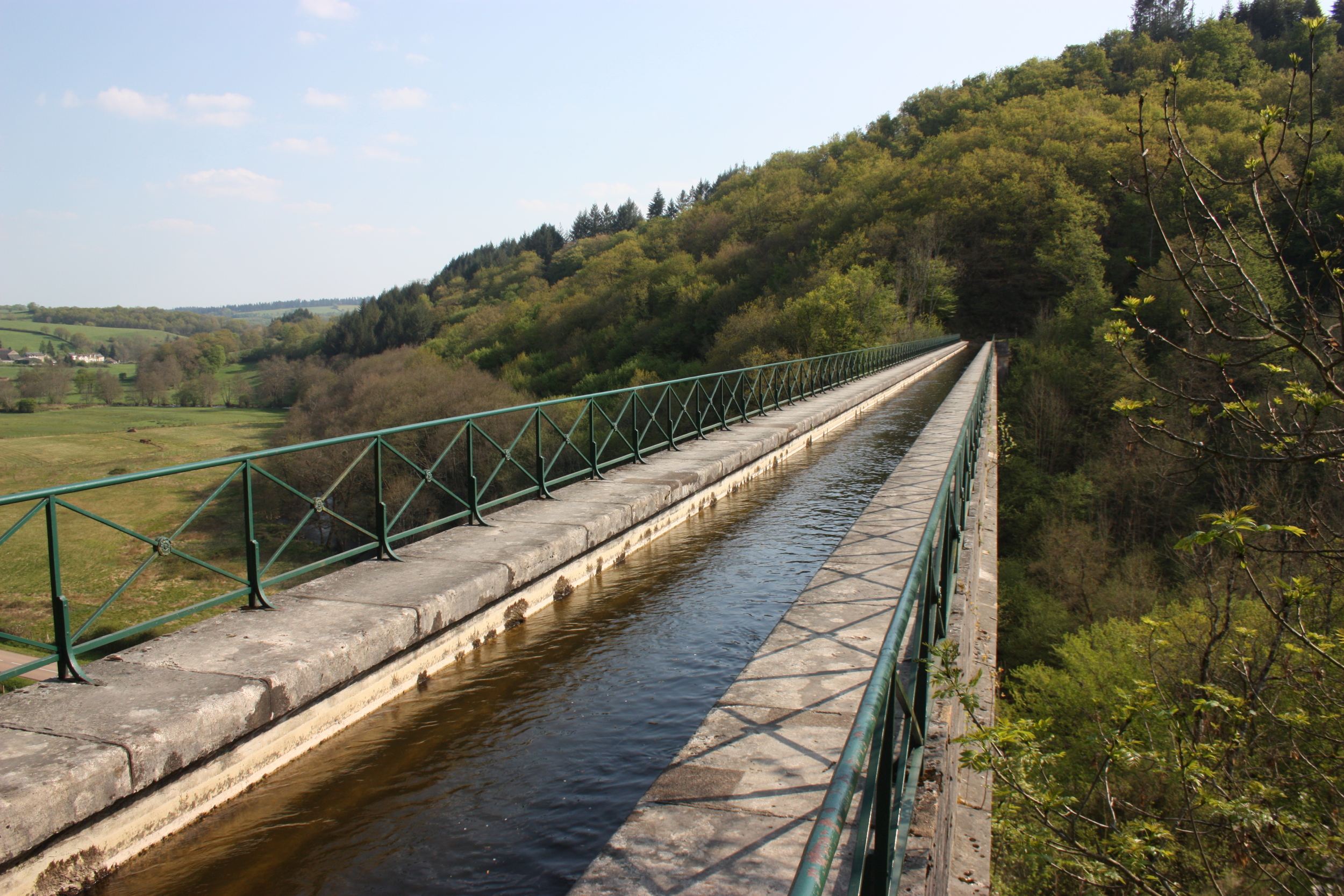
Nice hike near Montreuillon. On the first part of the route, the path joins the aqueduct of Montreuillon then runs along the Yonne before rushing into the forest. The second part takes place mainly in the woods, on a wild path, and joins the starting point.

Already more than 200,000 users!
Uphill
185m
Highest point
346m
Downhill
185m
Lowest point
228m
Route type
Loop
Download the map on your smartphone to save battery and rest assured to always keep access to the route, even without signal.
Includes IGN France and Swisstopo.
I indicate whether dogs are allowed or prohibited on this trail
All year
1 rating
Also enjoy:

Already more than 200,000 users!