Uphill
53m

Length
6km
Duration
1h30min
Elev gain
53m
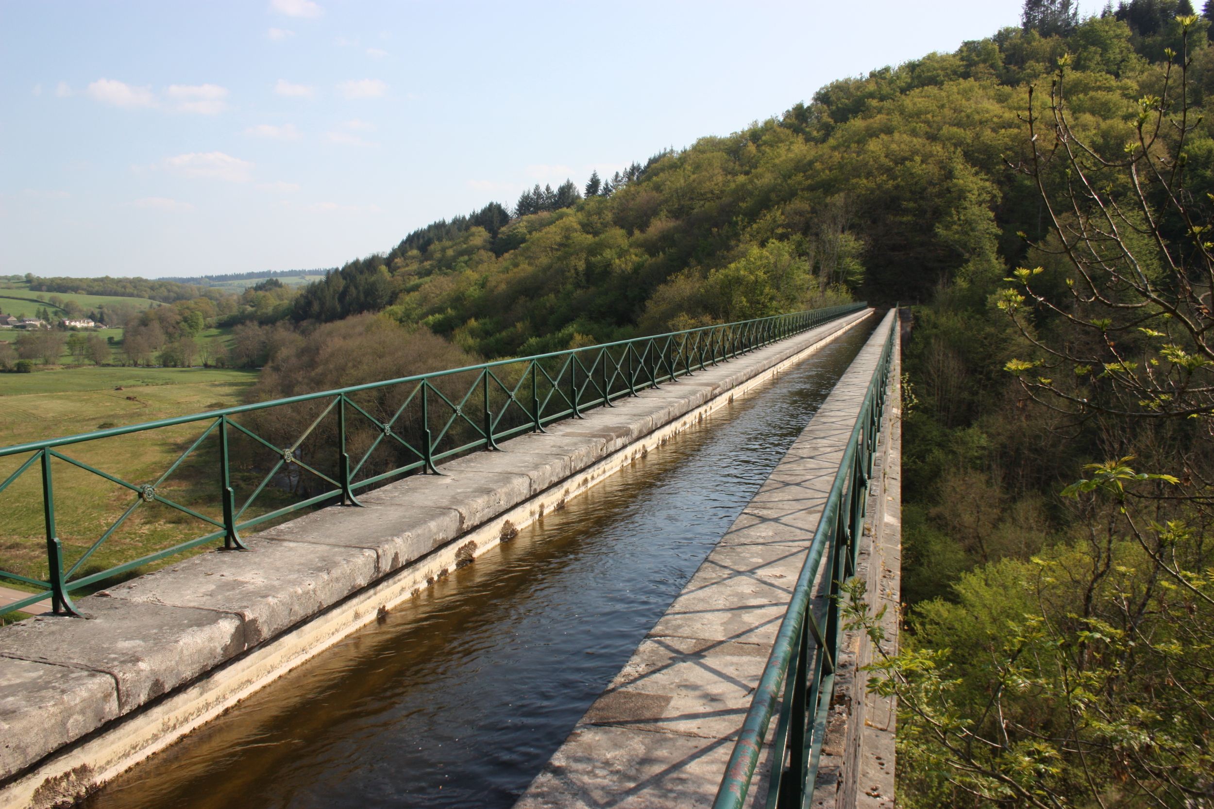
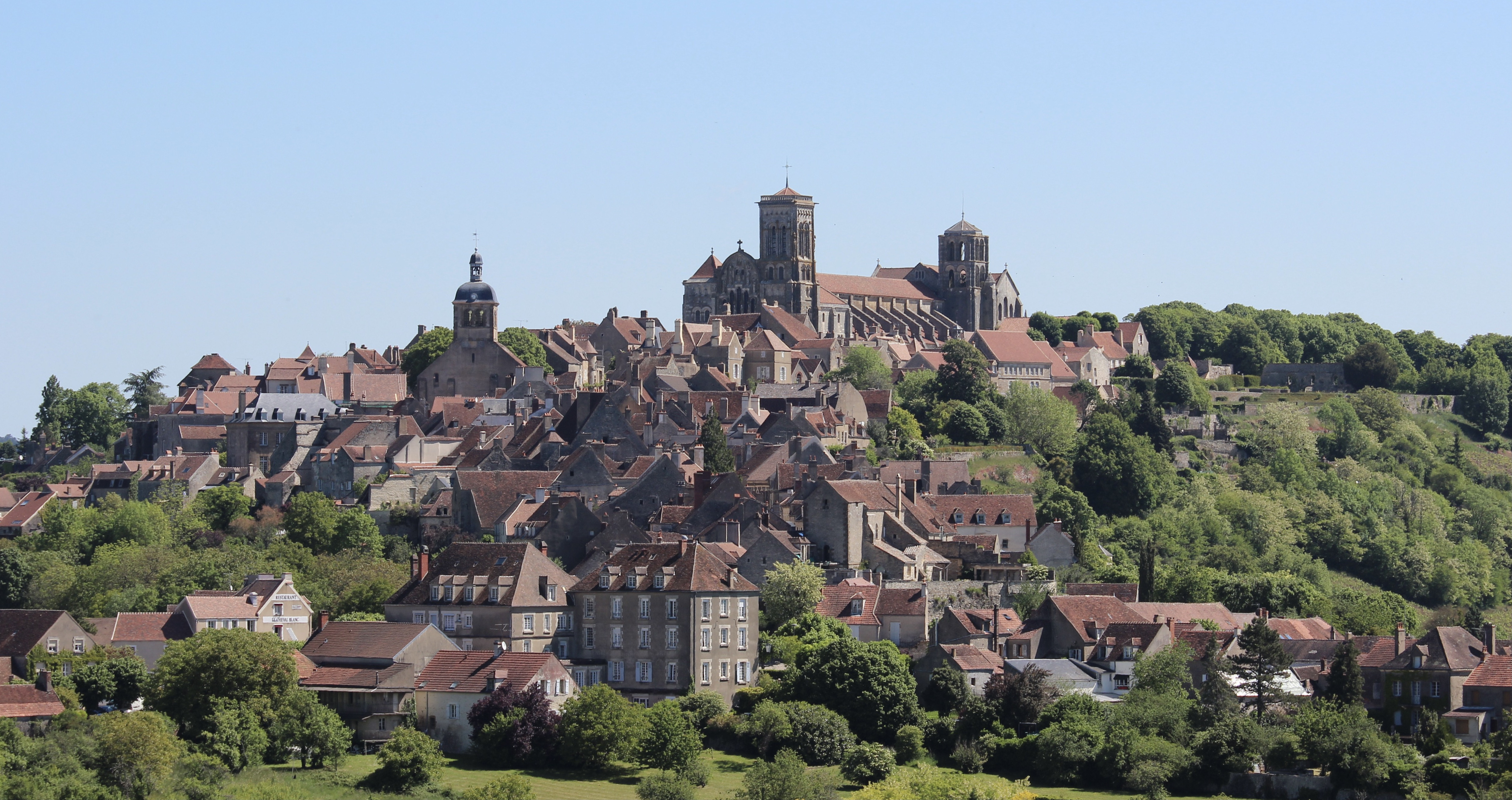
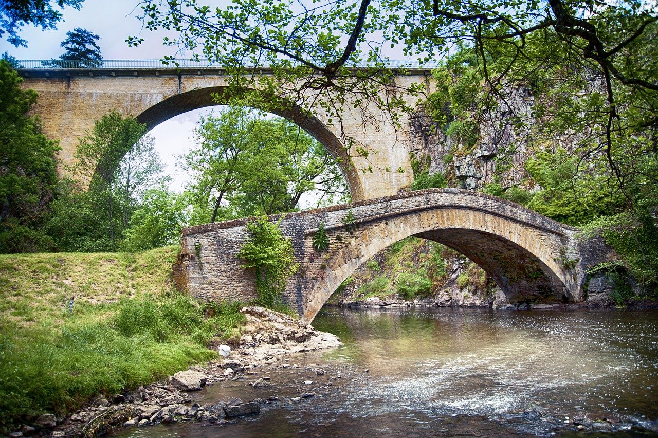
This route winds around the charming ponds of Vaux and Baye, offering lovely views over them. The trail crosses undergrowth, fields, and residential areas.
Note that two portions are on the road.

Already more than 200,000 users!
Uphill
53m
Highest point
285m
Downhill
53m
Lowest point
253m
Route type
There and back
Download the map on your smartphone to save battery and rest assured to always keep access to the route, even without signal.
Includes IGN France and Swisstopo.
I indicate whether dogs are allowed or prohibited on this trail
All year
0 ratings
Also enjoy:

Already more than 200,000 users!