Uphill
72m
France > Bourgogne-Franche-Comté > Nièvre > Morvan Regional Natural Park
Length
6km
Duration
1h30min
Elev gain
72m
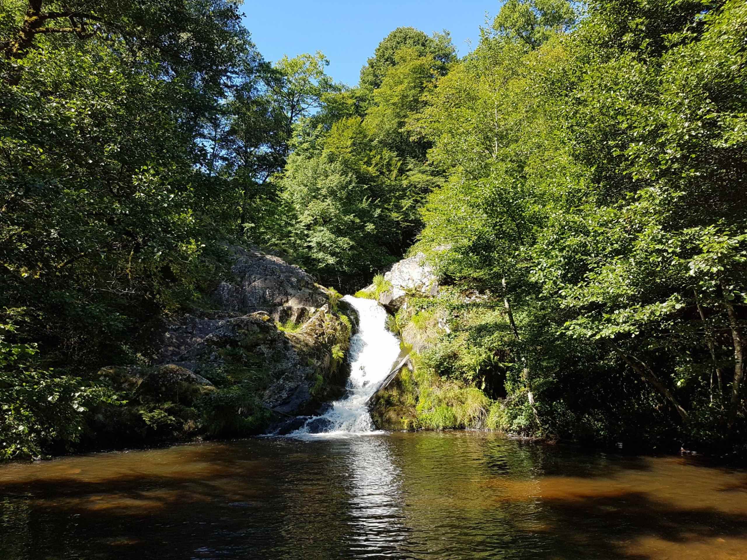
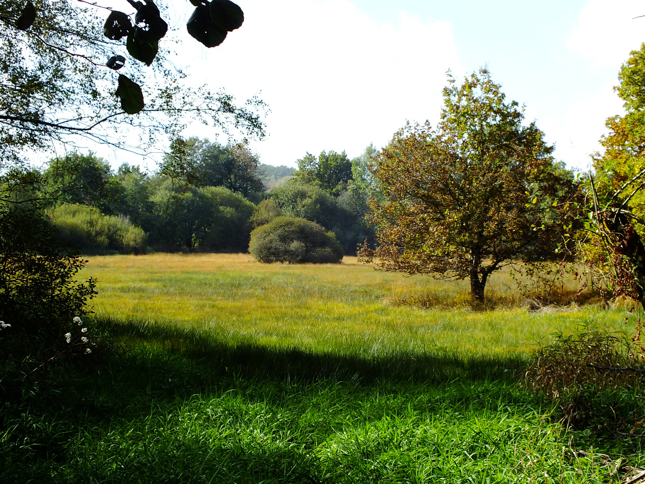
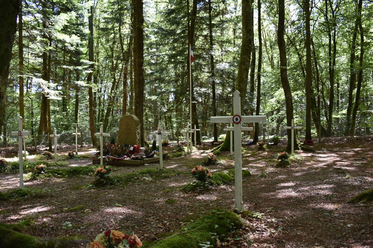
From the farm of La Verrerie, this pretty route leads to the Etang de la Passée. The trail also passes through the Franco-British cemetery of the Maquis Bernard.

Already more than 200,000 users!
Uphill
72m
Highest point
605m
Downhill
72m
Lowest point
548m
Route type
Loop
Download the map on your smartphone to save battery and rest assured to always keep access to the route, even without signal.
Includes IGN France and Swisstopo.
I indicate whether dogs are allowed or prohibited on this trail
All year
1 rating
Randonnée agréable malgré un changement d’itinéraire imposé par des arbres tombés au milieu du chemin
Also enjoy:

Already more than 200,000 users!