Uphill
231m
France > Bourgogne-Franche-Comté > Nièvre > Morvan Regional Natural Park
Length
9km
Duration
3h
Elev gain
231m
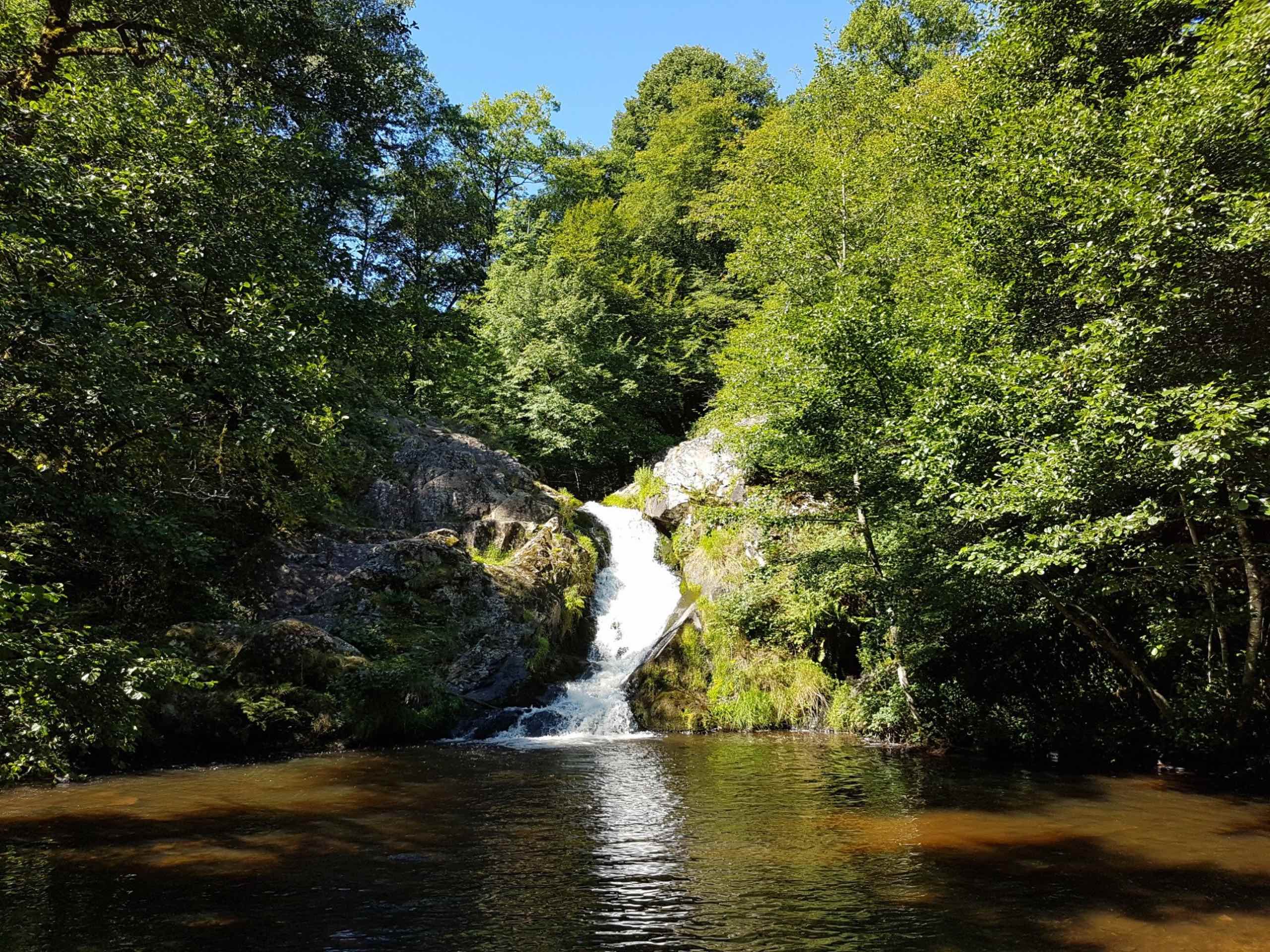
The Saut de Gouloux is a tourist hotspot in the Morvan. This loop allows you to discover the waterfall, to cross the village of Gouloux, then to reach a forest. Good sense of direction required.

Already more than 200,000 users!
Uphill
231m
Highest point
682m
Downhill
231m
Lowest point
478m
Route type
Loop
Download the map on your smartphone to save battery and rest assured to always keep access to the route, even without signal.
Includes IGN France and Swisstopo.
I indicate whether dogs are allowed or prohibited on this trail
All year
0 ratings
Also enjoy:

Already more than 200,000 users!