Uphill
280m

France > Bourgogne-Franche-Comté > Nièvre > Morvan Regional Natural Park
Length
11km
Duration
3h30min
Elev gain
280m
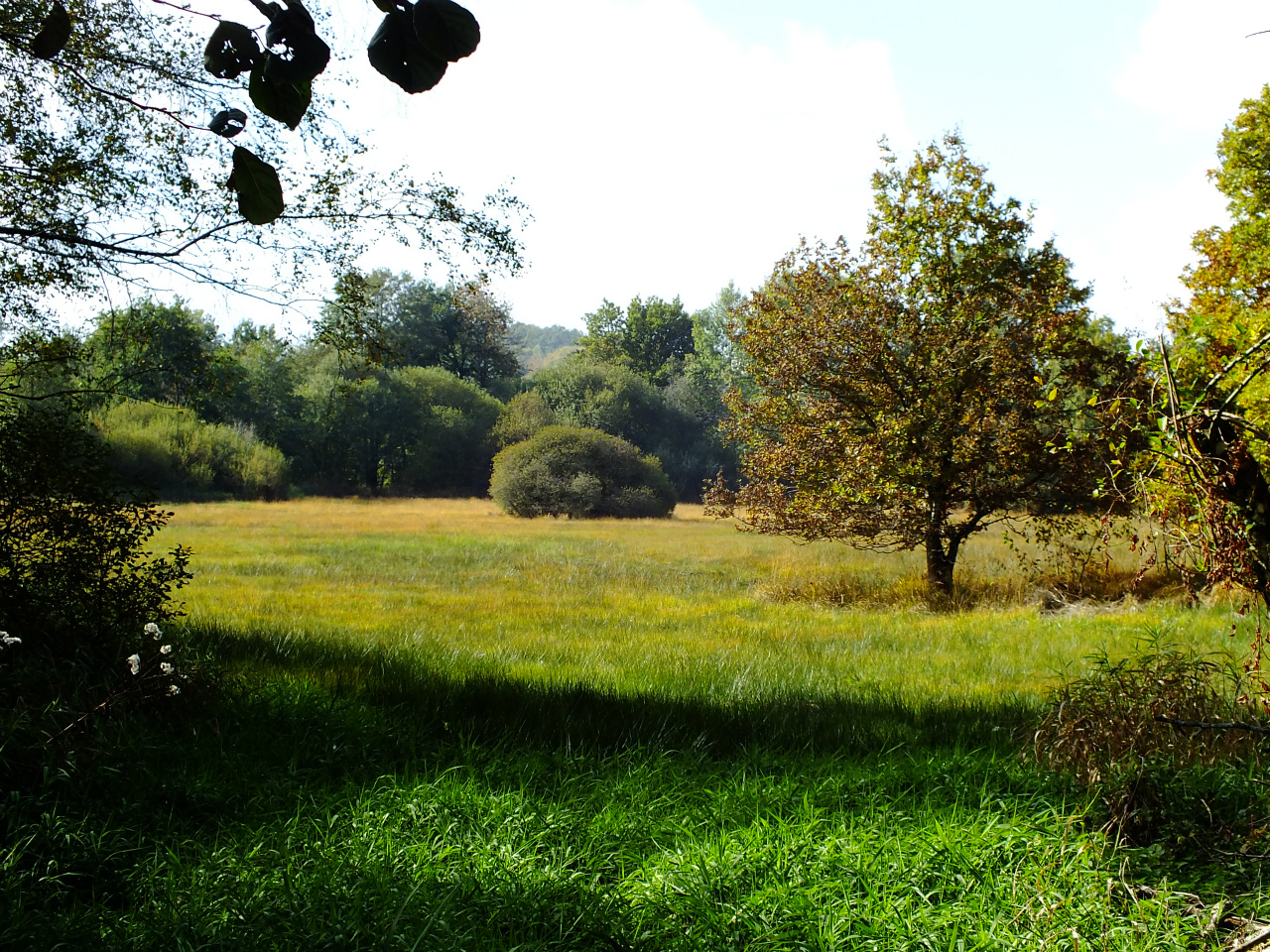
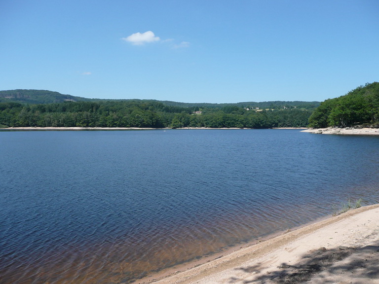
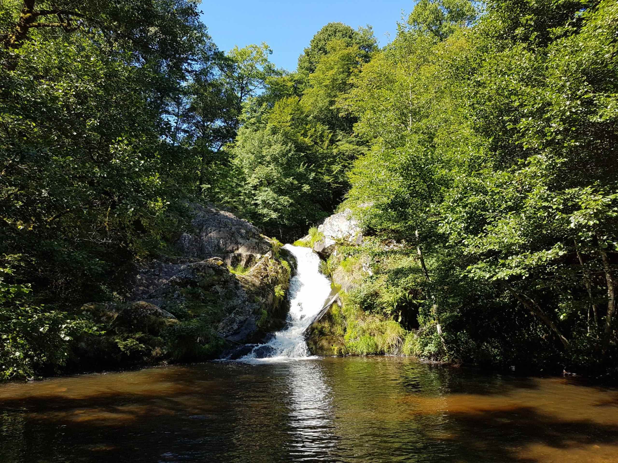
Beginning near the Vieux Dun, this route makes a loop mainly in the forest. The first part of the hike runs along the Cure then in the second part, the path leaves the river to take place only in the woods before reaching the village of Vieux Dun.

Already more than 200,000 users!
Uphill
280m
Highest point
502m
Downhill
280m
Lowest point
327m
Route type
Loop
Download the map on your smartphone to save battery and rest assured to always keep access to the route, even without signal.
Includes IGN France and Swisstopo.
I indicate whether dogs are allowed or prohibited on this trail
All year
0 ratings
Also enjoy:

Already more than 200,000 users!