Uphill
75m

France > Bourgogne-Franche-Comté > Nièvre > Morvan Regional Natural Park
Length
9km
Duration
2h30min
Elev gain
75m
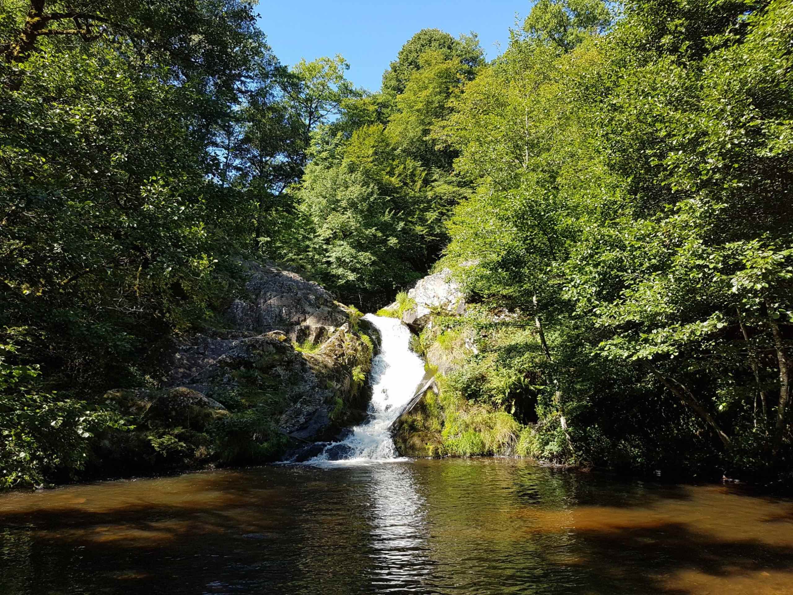
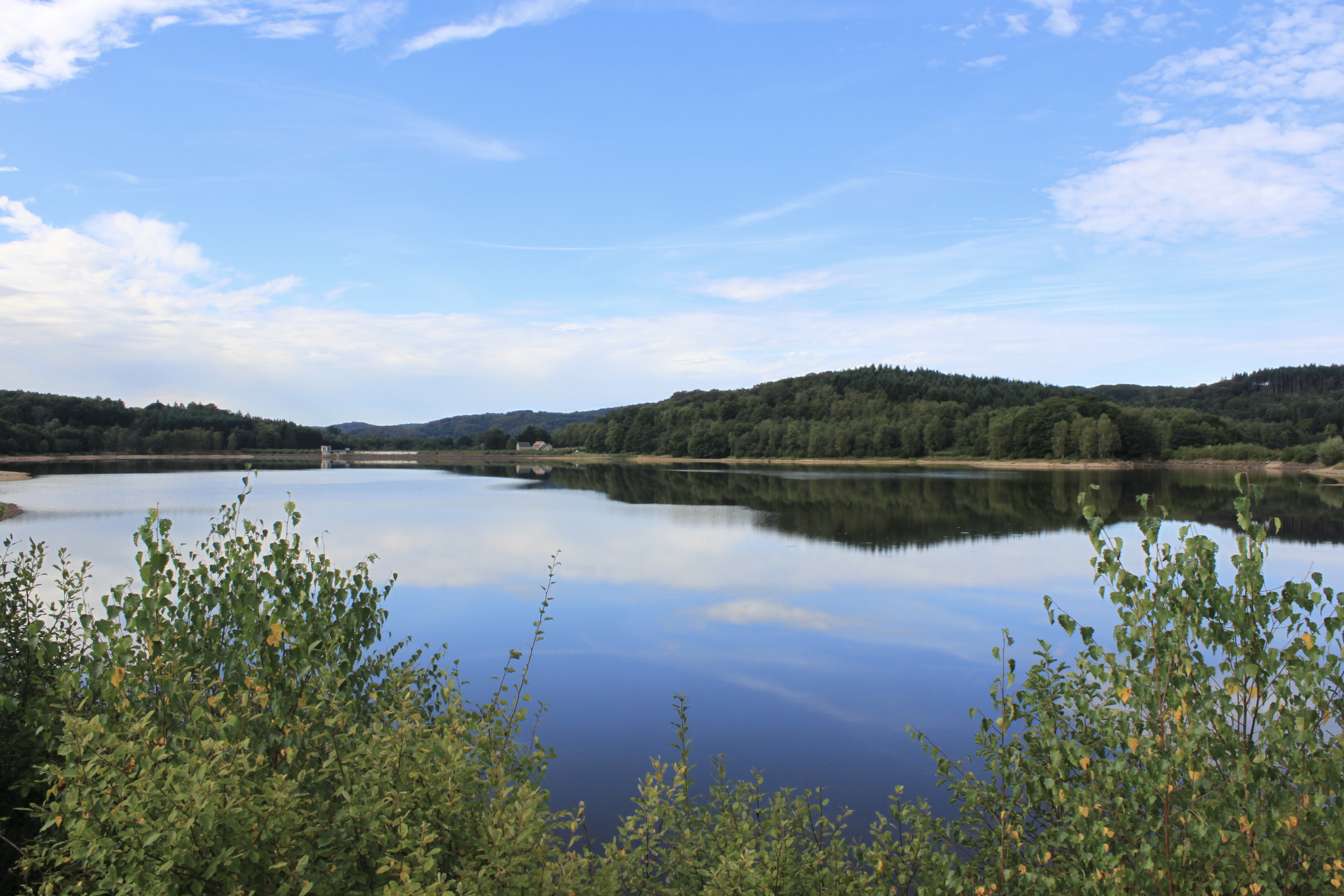
This is a hike around Lac de Saint-Agnan, between fields and woods. The first kilometer is on the road, before enjoying the calm and the views of the lake.

Already more than 200,000 users!
Uphill
75m
Highest point
549m
Downhill
75m
Lowest point
511m
Route type
Loop
Download the map on your smartphone to save battery and rest assured to always keep access to the route, even without signal.
Includes IGN France and Swisstopo.
I indicate whether dogs are allowed or prohibited on this trail
All year
0 ratings
Also enjoy:

Already more than 200,000 users!