Uphill
44m
France > Bourgogne-Franche-Comté > Côte-d'Or > Morvan Regional Natural Park
Length
7km
Duration
2h
Elev gain
44m
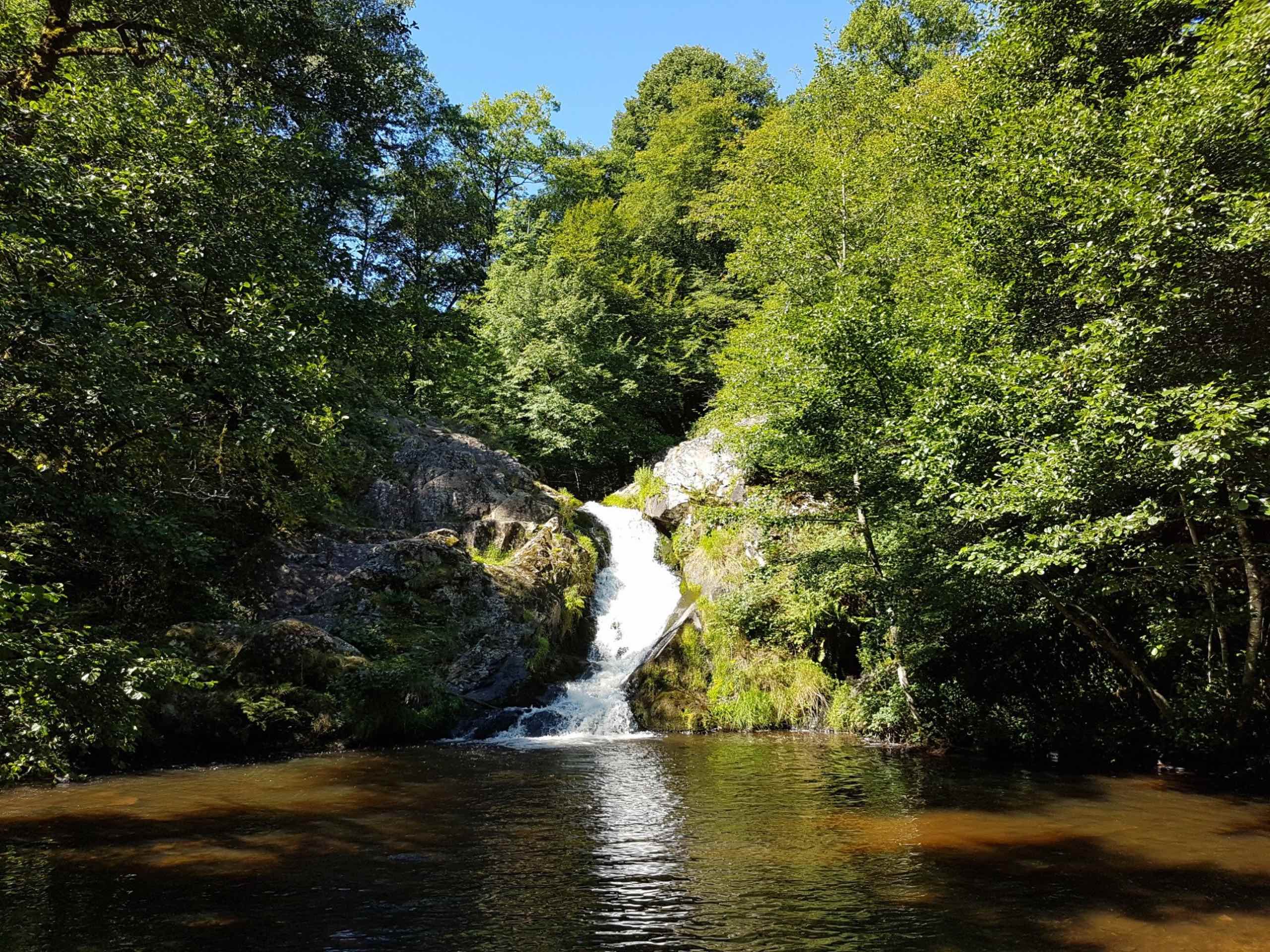
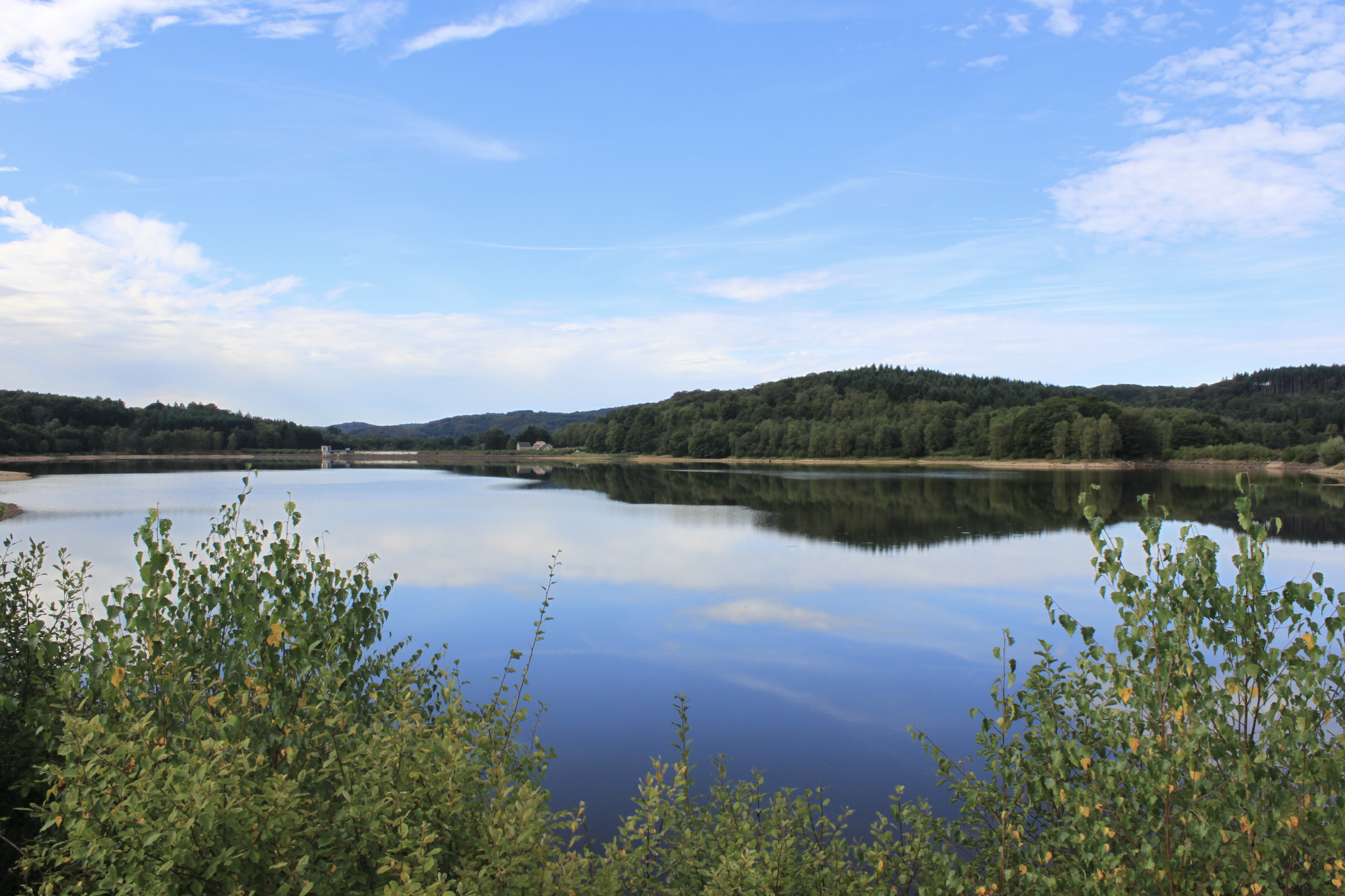
Family walk around Lake Chamboux. The route makes a loop and offers pretty points of view on the body of water, where the trees are reflected. If the weather is good, it is possible to swim in the lake.

Already more than 200,000 users!
Uphill
44m
Highest point
523m
Downhill
44m
Lowest point
495m
Route type
Loop
Download the map on your smartphone to save battery and rest assured to always keep access to the route, even without signal.
Includes IGN France and Swisstopo.
I indicate whether dogs are allowed or prohibited on this trail
All year
0 ratings
Also enjoy:

Already more than 200,000 users!