Uphill
324m
France > Bourgogne-Franche-Comté > Doubs > Haut-Jura Nature Park
Length
5km
Duration
2h30min
Elev gain
324m
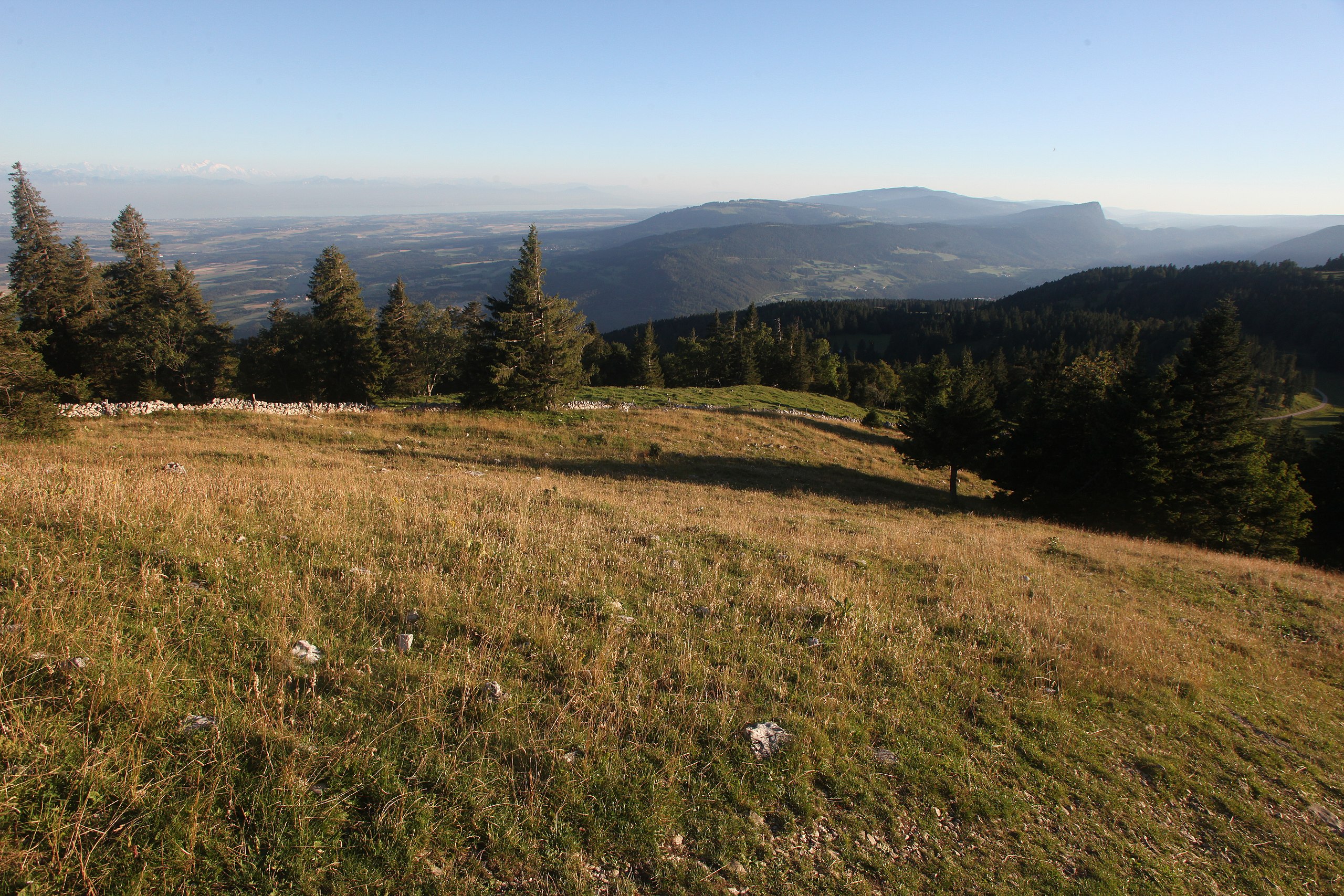
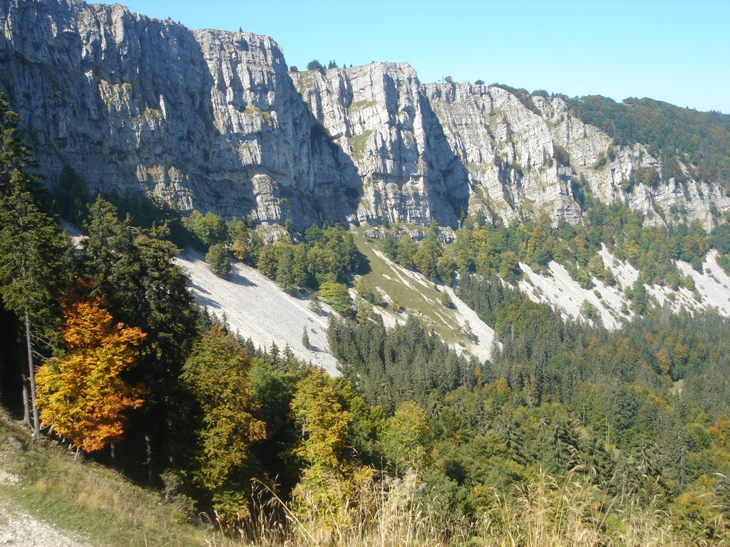
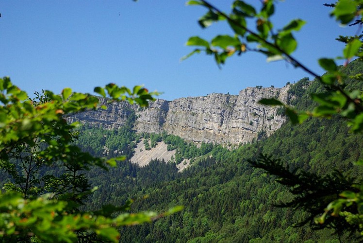
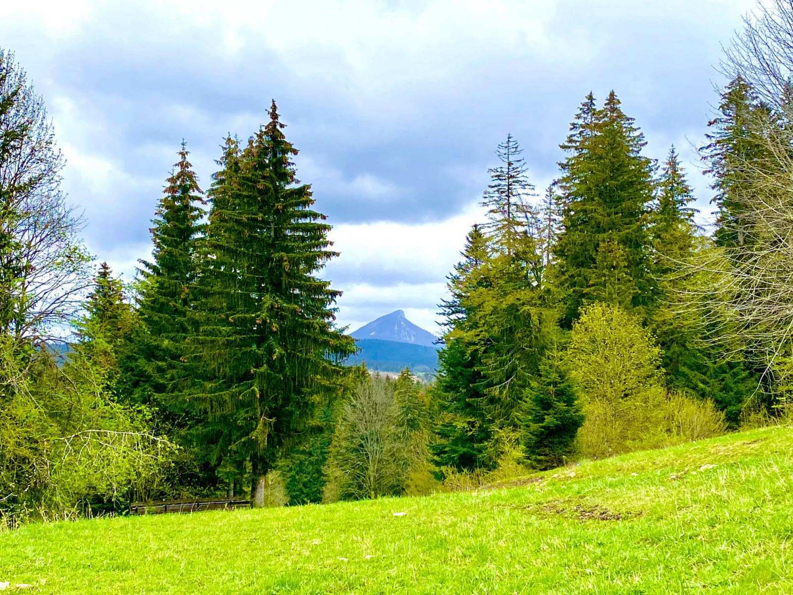
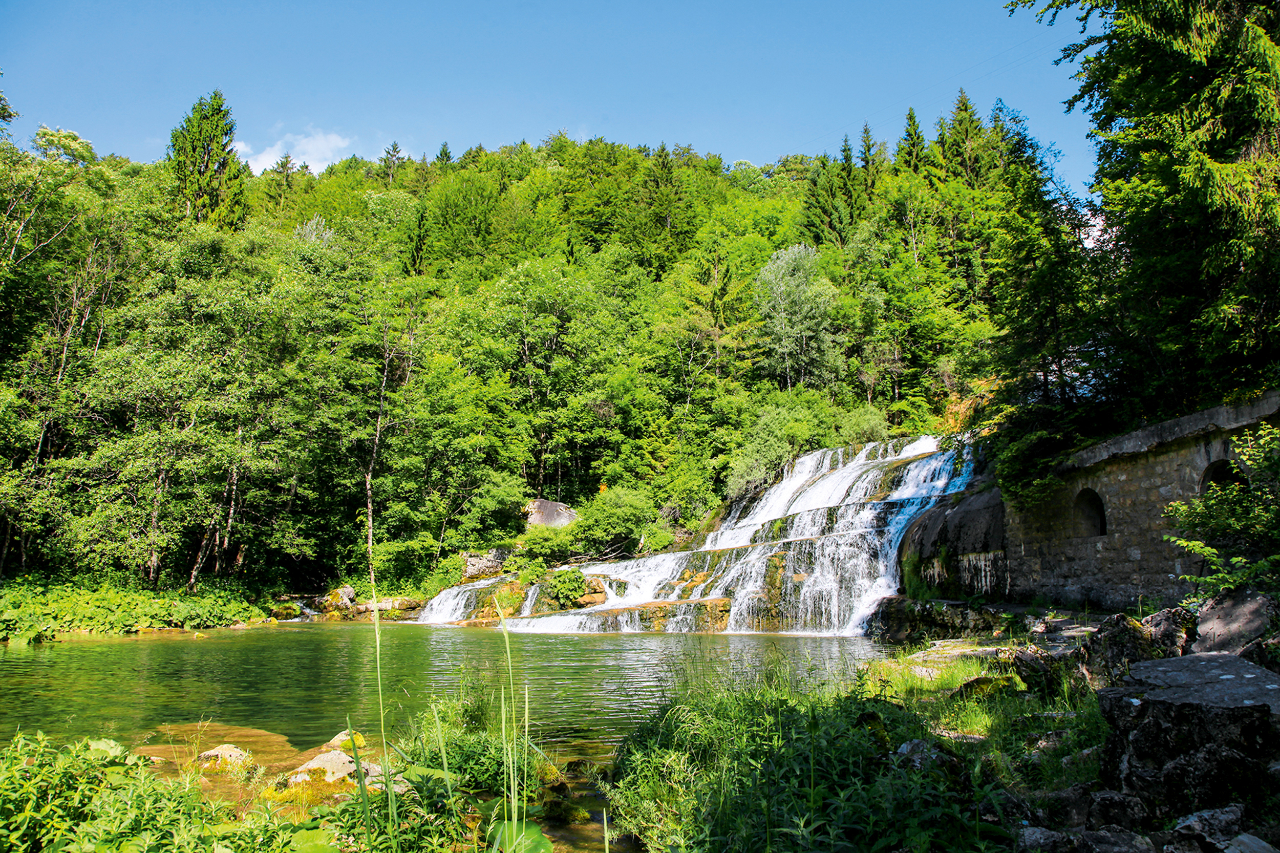
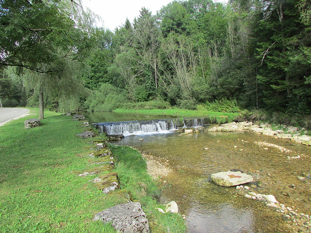
Leaving from Jougne, this path alternates between forest and meadows, with a short detour via the village of Entre-les-Fourgs and crossing the Jougnena. A beautiful hike with varied landscapes.

Already more than 200,000 users!
Uphill
324m
Highest point
1076m
Downhill
324m
Lowest point
873m
Route type
Loop
Download the map on your smartphone to save battery and rest assured to always keep access to the route, even without signal.
Includes IGN France and Swisstopo.
I indicate whether dogs are allowed or prohibited on this trail
Can be difficult in Winter
0 ratings
Also enjoy:

Already more than 200,000 users!