Uphill
299m
Length
10km
Duration
3h30min
Elev gain
299m
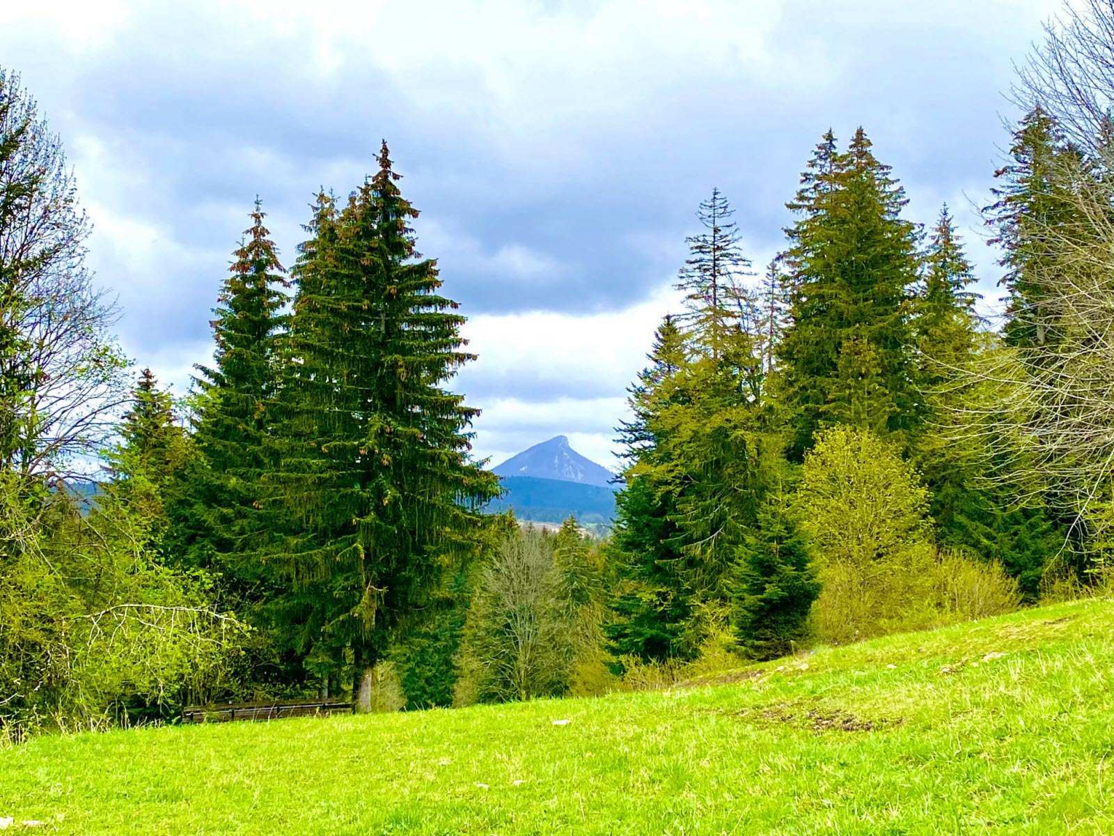
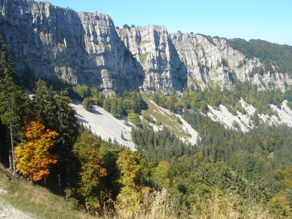
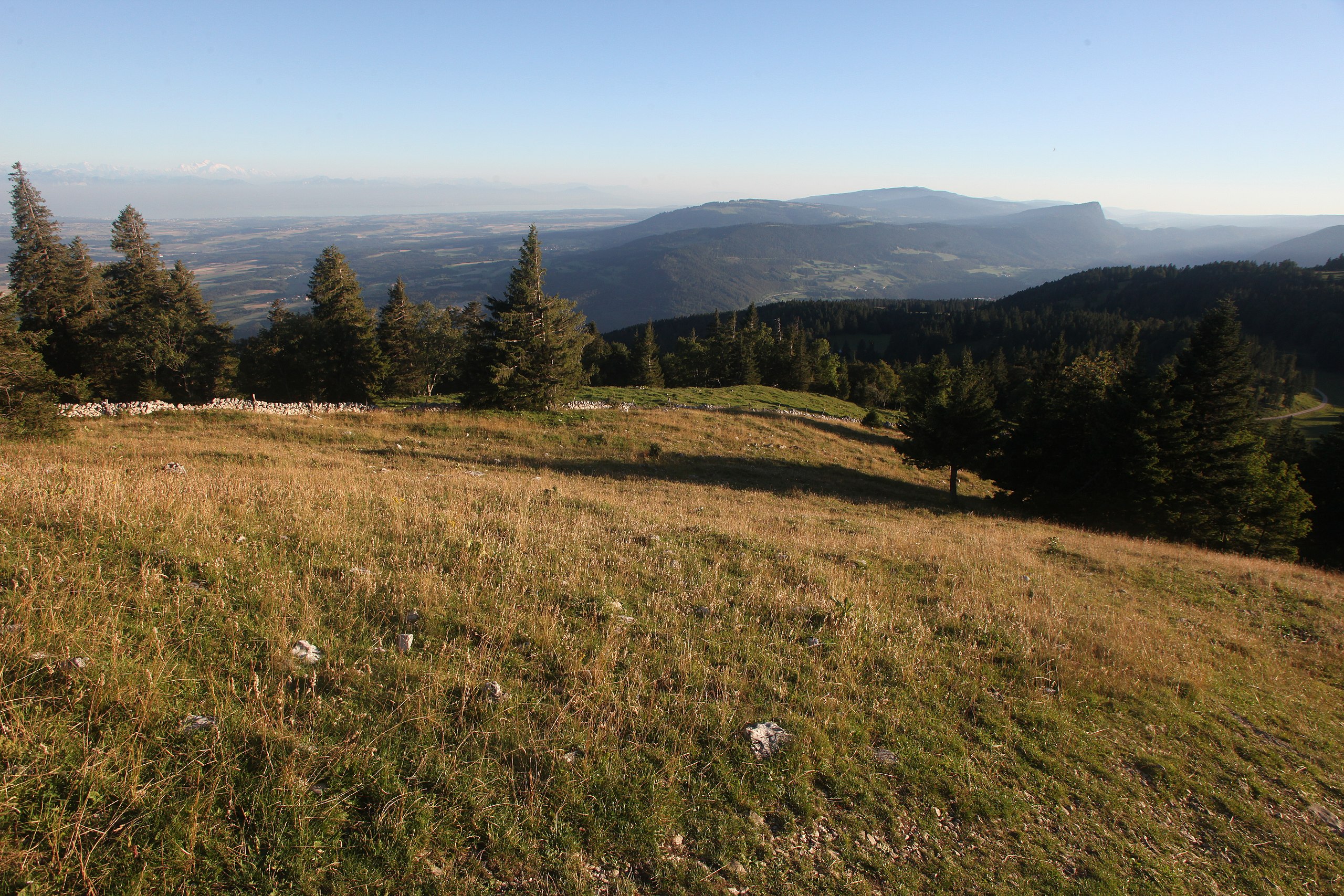
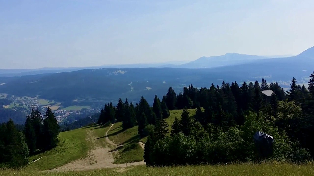
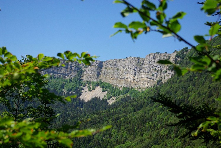
Between Métabief and Jougne, this hike leads to Mont Ramey, from which the view of the cliffs of Mont d'Or is magnificent. The path joins the starting point through the forest.

Already more than 200,000 users!
Uphill
299m
Highest point
1154m
Downhill
299m
Lowest point
1005m
Route type
Loop
Download the map on your smartphone to save battery and rest assured to always keep access to the route, even without signal.
Includes IGN France and Swisstopo.
I indicate whether dogs are allowed or prohibited on this trail
Can be difficult in Winter
0 ratings
Also enjoy:

Already more than 200,000 users!