Uphill
119m
Length
8km
Duration
2h30min
Elev gain
119m
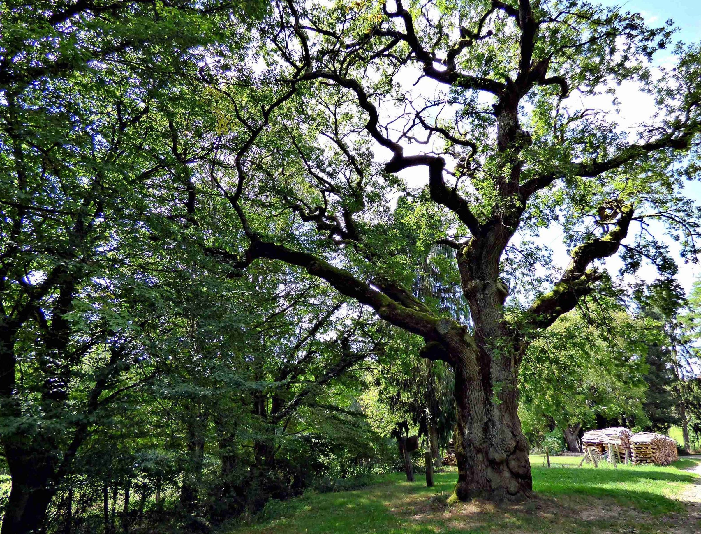
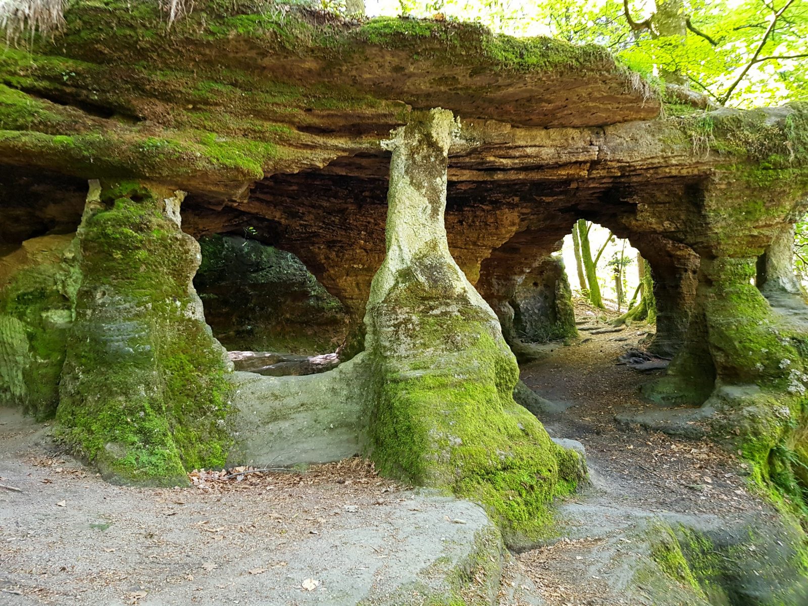
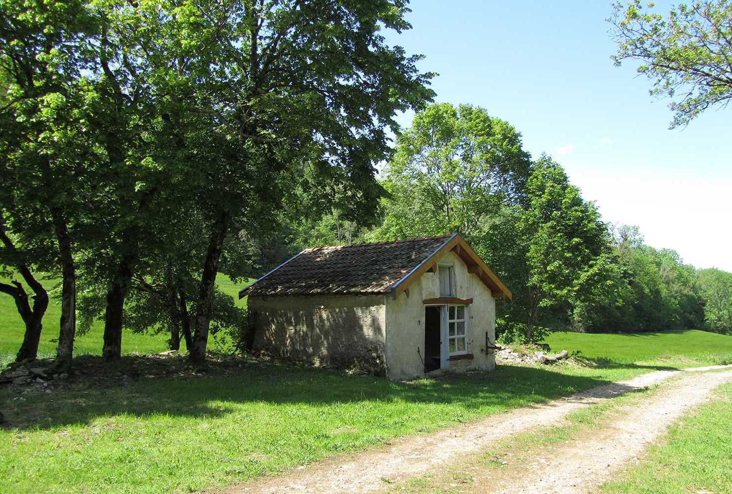
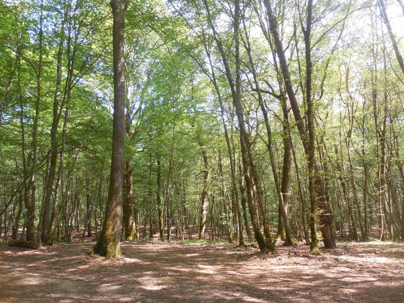
Walk on the sentier du Guêpier, containing some historical elements of the forest's past inhabitants.

Already more than 200,000 users!
Uphill
119m
Highest point
279m
Downhill
119m
Lowest point
236m
Route type
Loop
Download the map on your smartphone to save battery and rest assured to always keep access to the route, even without signal.
Includes IGN France and Swisstopo.
I indicate whether dogs are allowed or prohibited on this trail
All year
0 ratings
Also enjoy:

Already more than 200,000 users!