Uphill
397m
Length
7km
Duration
3h
Elev gain
397m
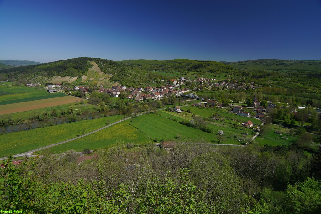
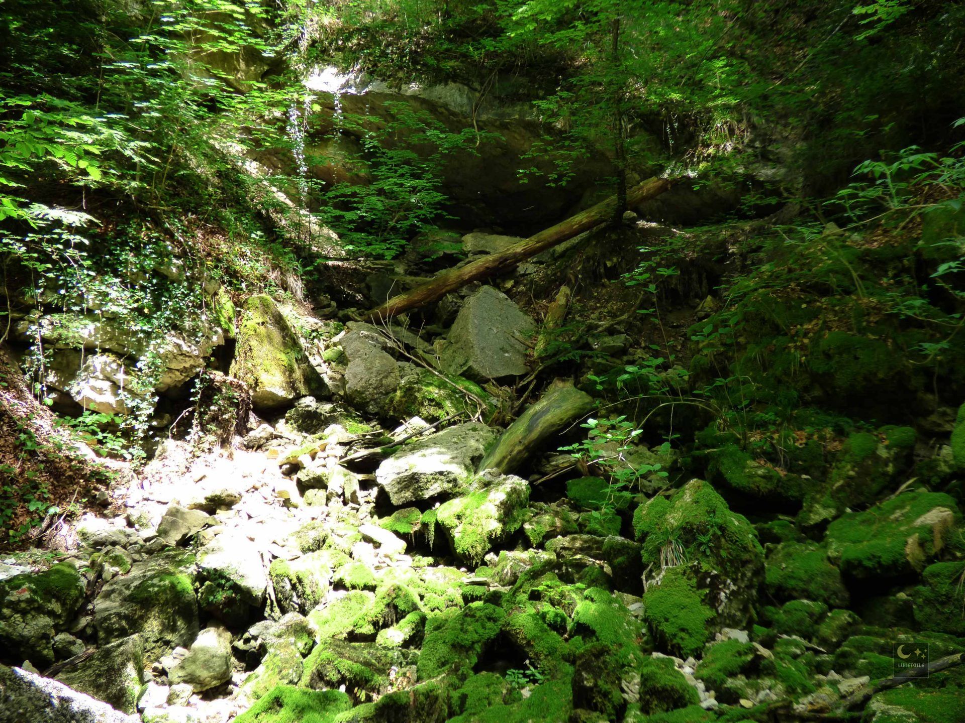
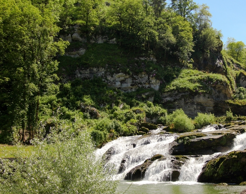
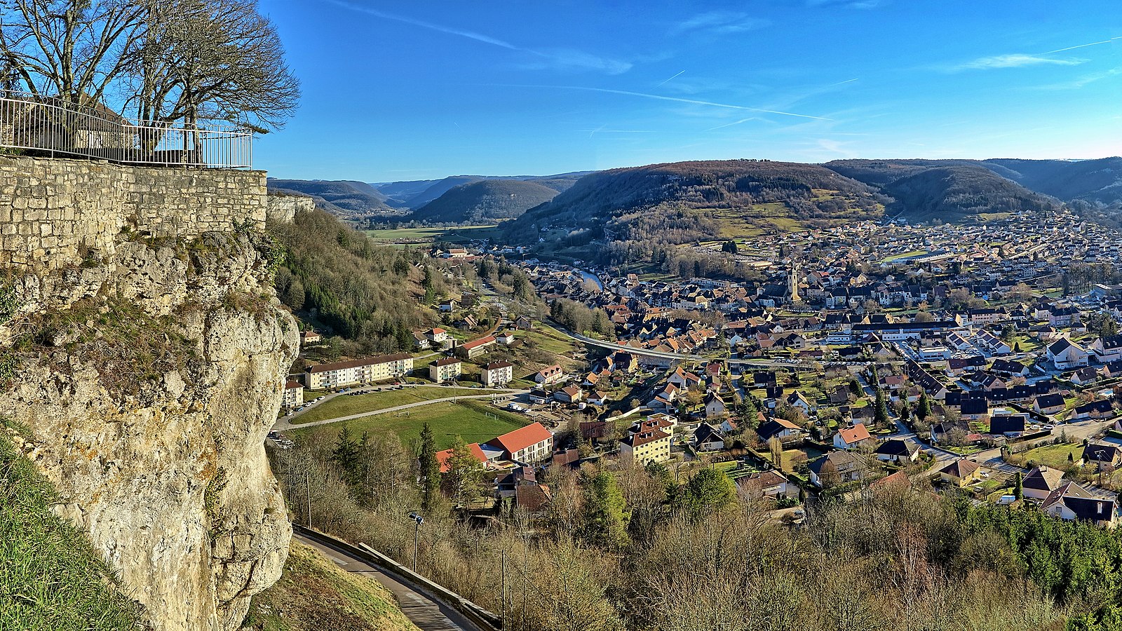
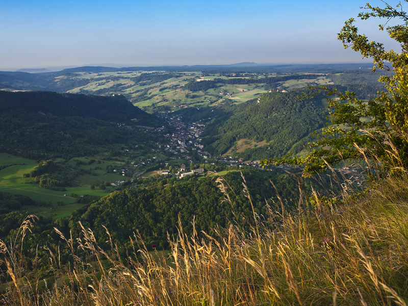
This is a trail to climb Mont Poupet, 851 meters above sea level. On the outward journey, the route makes a small detour via the Poupet cross, where the view of the surroundings is superb. The path then continues to Mont Poupet, offering beautiful viewpoints, with the possibility of catching a glimpse of Mont Blanc. The descent is rather steep and can be slippery in the rainy season.

Already more than 200,000 users!
Uphill
397m
Highest point
851m
Downhill
397m
Lowest point
512m
Route type
Loop
Download the map on your smartphone to save battery and rest assured to always keep access to the route, even without signal.
Includes IGN France and Swisstopo.
I indicate whether dogs are allowed or prohibited on this trail
All year
1 rating
Also enjoy:

Already more than 200,000 users!