Uphill
37m
Length
3km
Duration
1h
Elev gain
37m
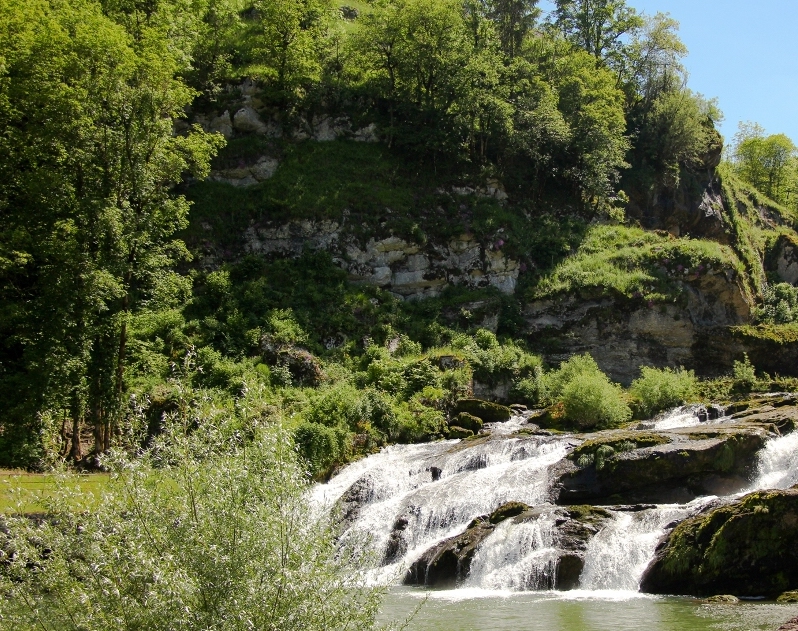
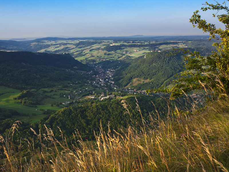
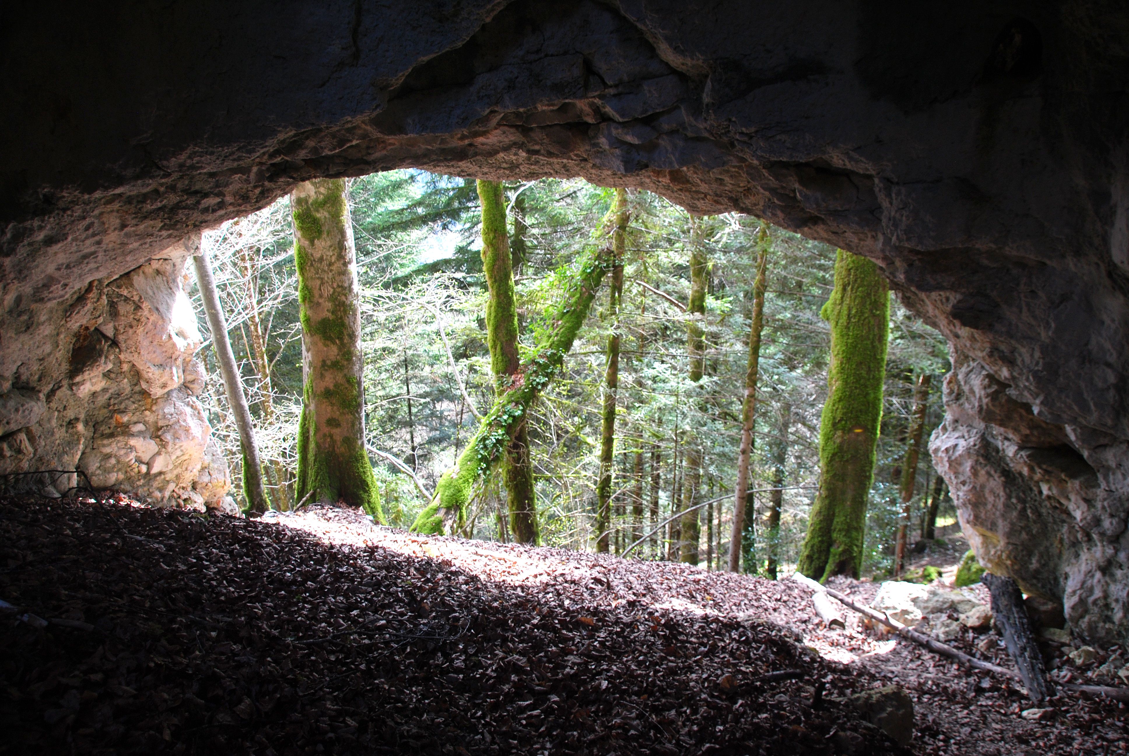
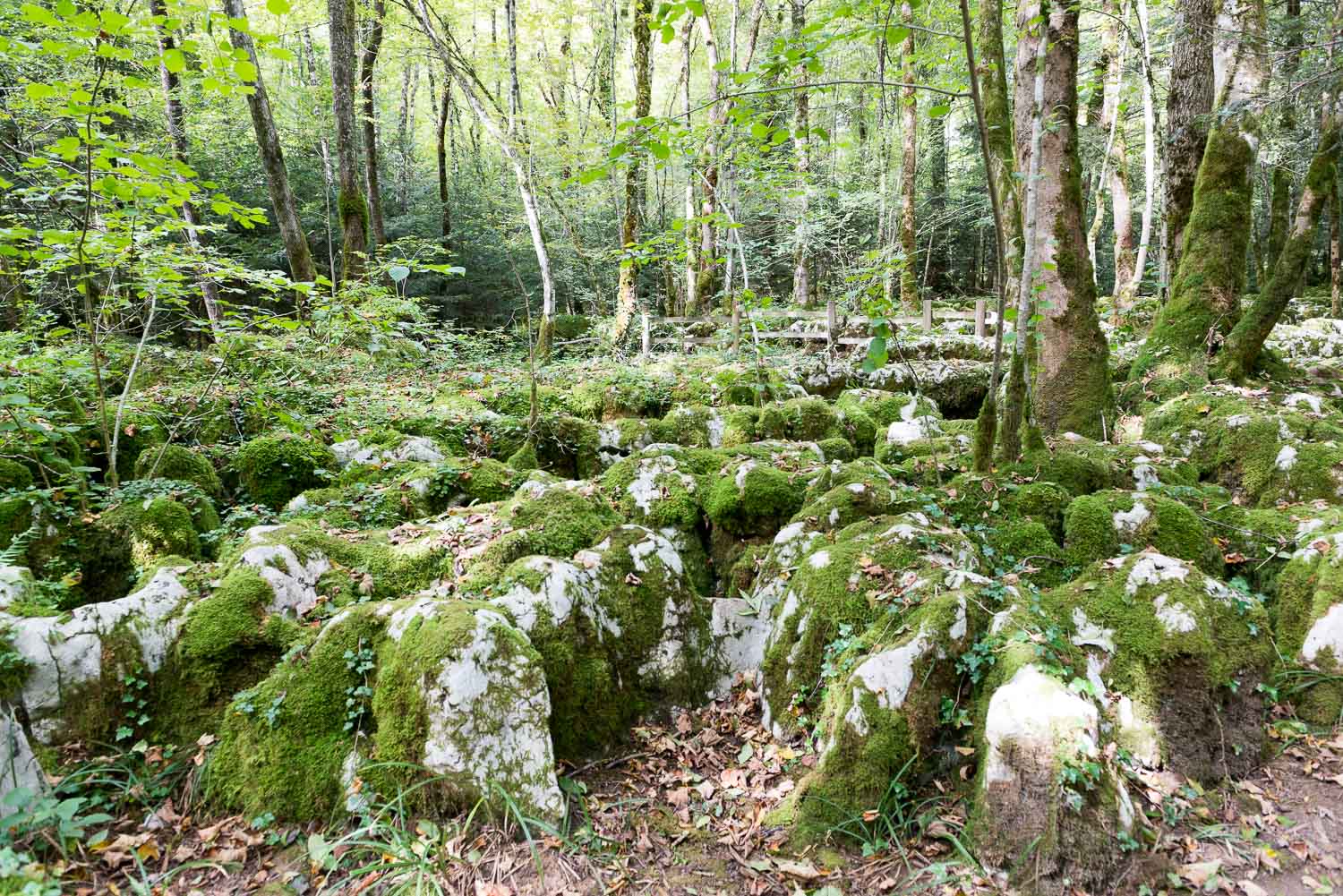
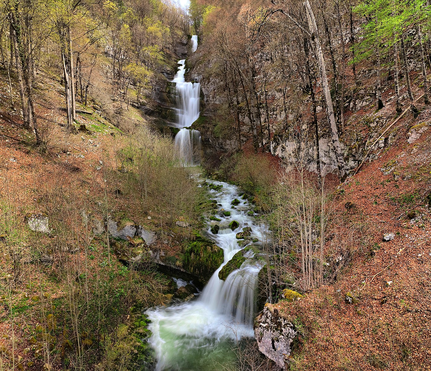
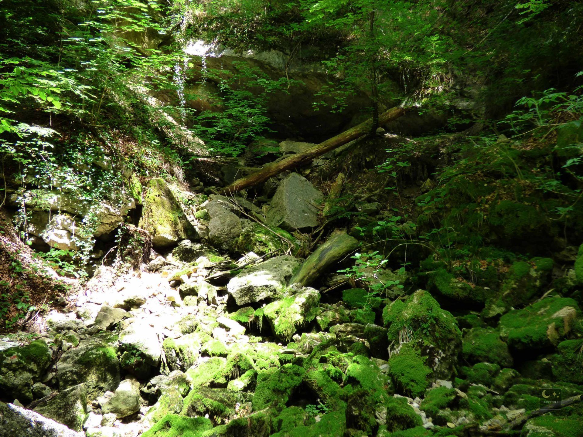
Departing from Supt, here is a varied walk passing through the middle of the fields, crossing the forest and skirting the Doye.

Already more than 200,000 users!
Uphill
37m
Highest point
670m
Downhill
37m
Lowest point
626m
Route type
Loop
Download the map on your smartphone to save battery and rest assured to always keep access to the route, even without signal.
Includes IGN France and Swisstopo.
I indicate whether dogs are allowed or prohibited on this trail
All year
0 ratings
Also enjoy:

Already more than 200,000 users!