Uphill
333m
Length
8km
Duration
3h
Elev gain
333m
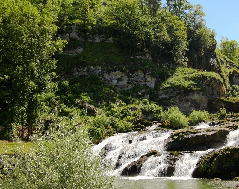
This hike allows you to discover the Château Villain, to cross a forest on the ridges, then to follow the Ain until its famous "losses". The river rushes into a very narrow gorge, runs underground, then cascades back into a basin.

Already more than 200,000 users!
Uphill
333m
Highest point
823m
Downhill
333m
Lowest point
540m
Route type
Loop
Download the map on your smartphone to save battery and rest assured to always keep access to the route, even without signal.
Includes IGN France and Swisstopo.
I indicate whether dogs are allowed or prohibited on this trail
All year
1 rating
Also enjoy:

Already more than 200,000 users!


