Uphill
401m
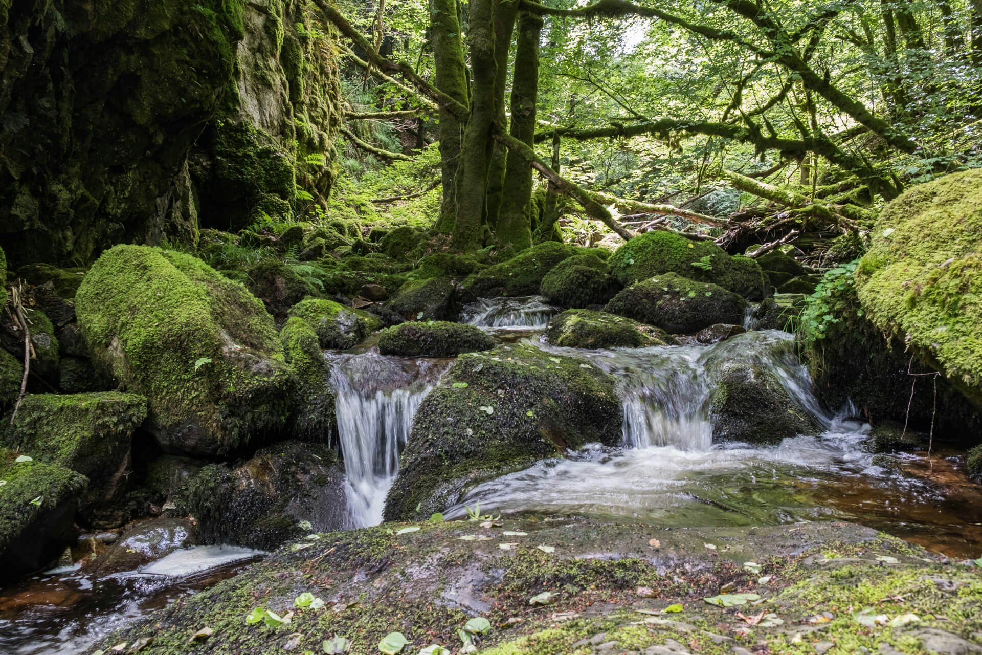
France > Bourgogne-Franche-Comté > Saône-et-Loire > Morvan Regional Natural Park
Length
16km
Duration
5h
Elev gain
401m
Stroll along the Canche, a wild river in the Morvan massif. Note that there are many passages on the road.

Already more than 200,000 users!
Uphill
401m
Highest point
691m
Downhill
401m
Lowest point
436m
Route type
Loop
Download the map on your smartphone to save battery and rest assured to always keep access to the route, even without signal.
Includes IGN France and Swisstopo.
I indicate whether dogs are allowed or prohibited on this trail
All year
0 ratings
Also enjoy:

Already more than 200,000 users!


