Uphill
354m
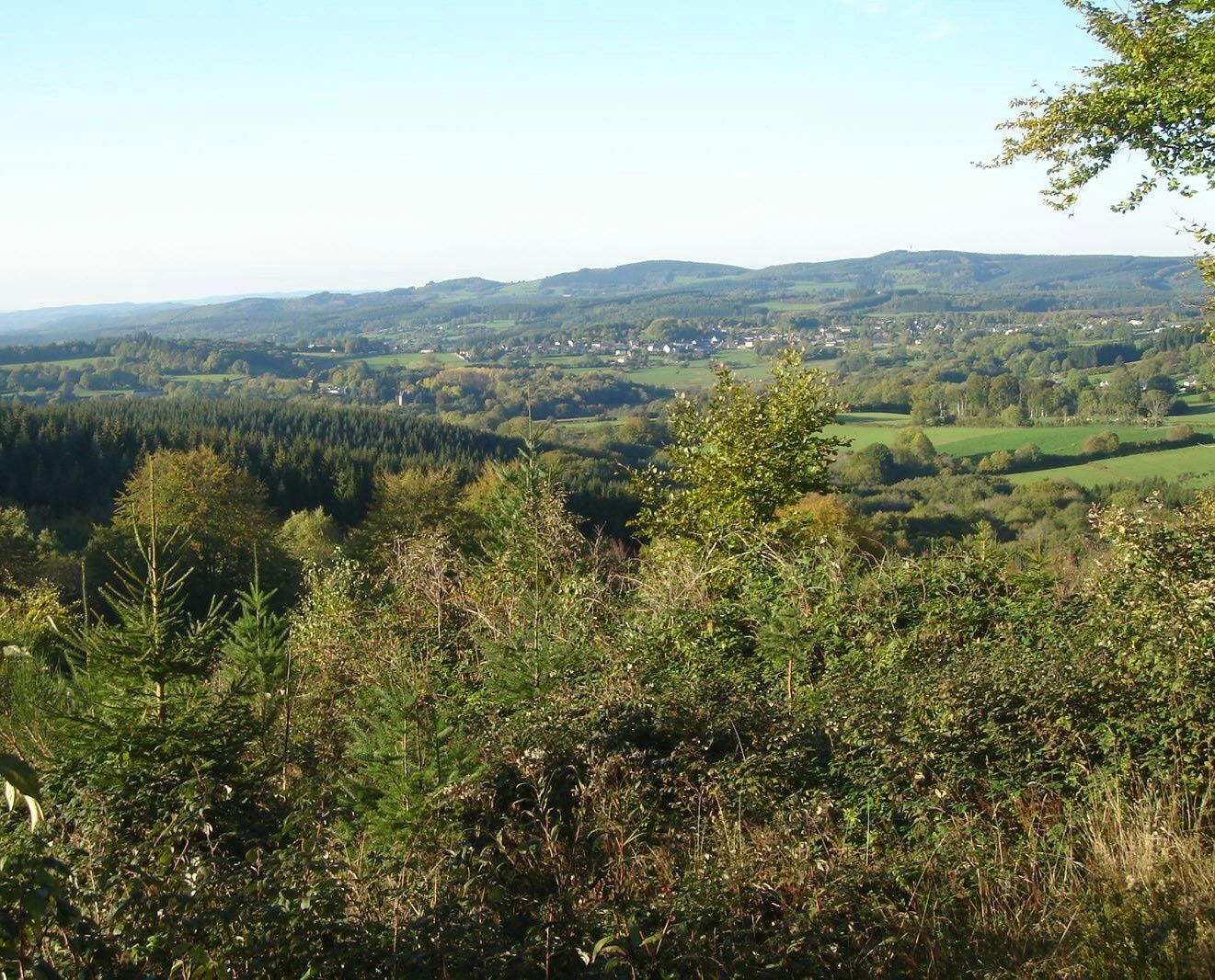
France > Bourgogne-Franche-Comté > Saône-et-Loire > Morvan Regional Natural Park
Length
11km
Duration
4h
Elev gain
354m
Departing from the Pré du Massé, this hike takes place mainly in the forest. The route goes around Bas Folin then Haut Folin before reaching its summit, at an altitude of 901 meters, which is the highest point in Burgundy.

Already more than 200,000 users!
Uphill
354m
Highest point
902m
Downhill
354m
Lowest point
712m
Route type
Loop
Download the map on your smartphone to save battery and rest assured to always keep access to the route, even without signal.
Includes IGN France and Swisstopo.
I indicate whether dogs are allowed or prohibited on this trail
Can be difficult in Winter
0 ratings
Also enjoy:

Already more than 200,000 users!


