Uphill
88m

France > Bourgogne-Franche-Comté > Jura > Haut-Jura Nature Park
Length
3km
Duration
1h
Elev gain
88m
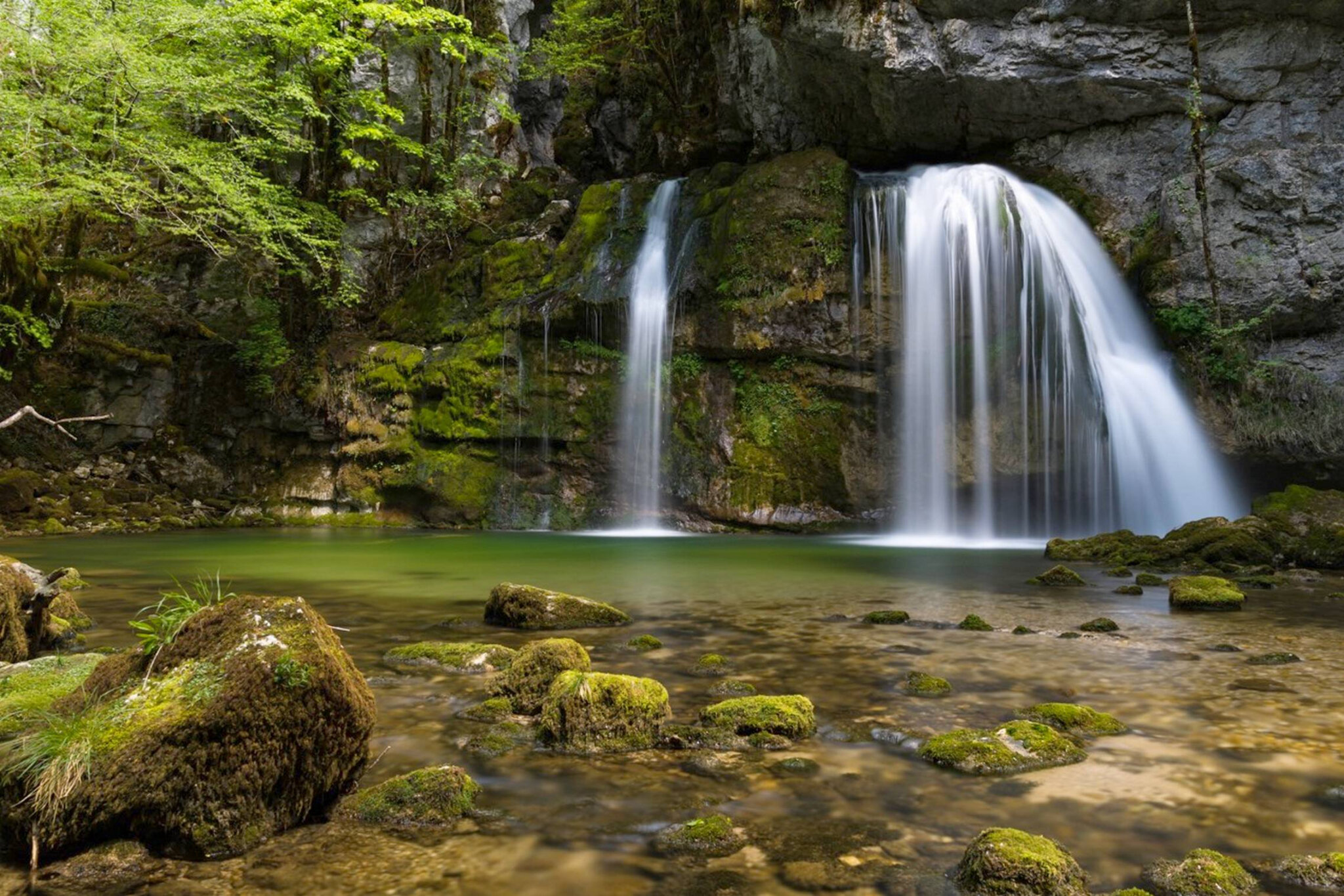
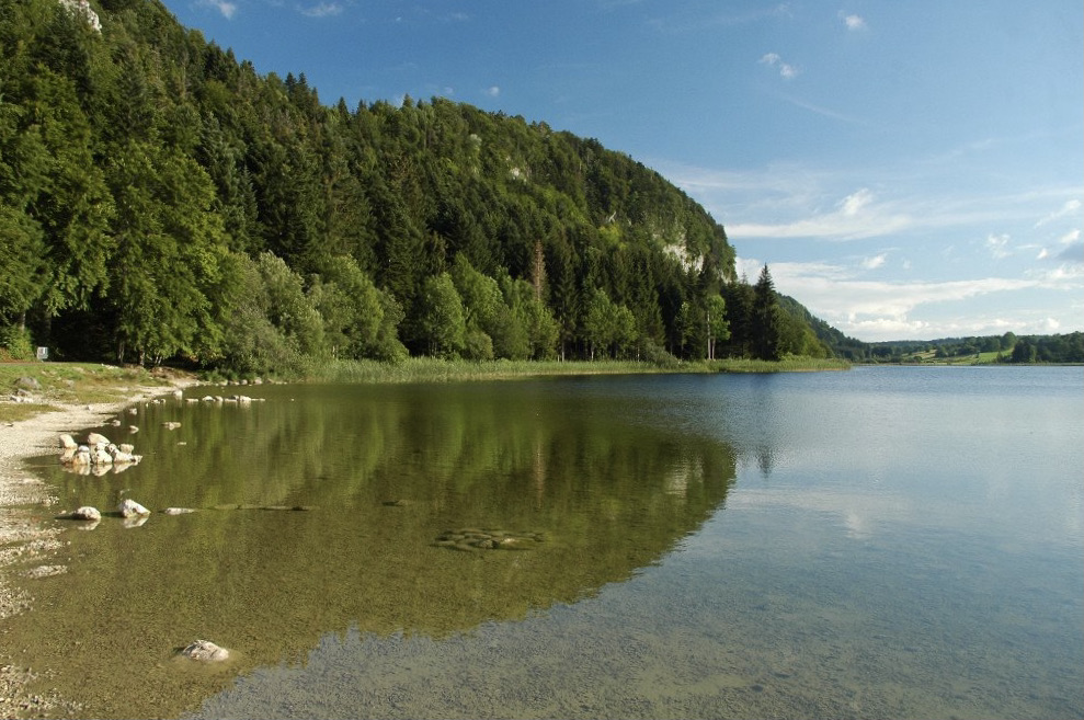
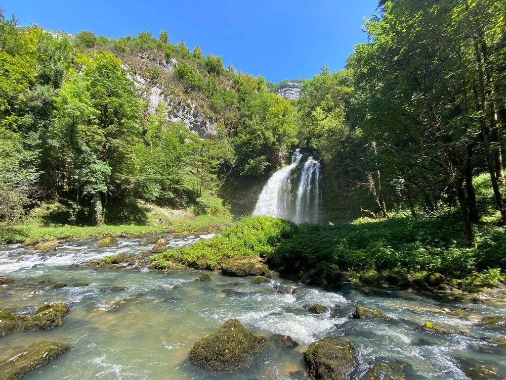
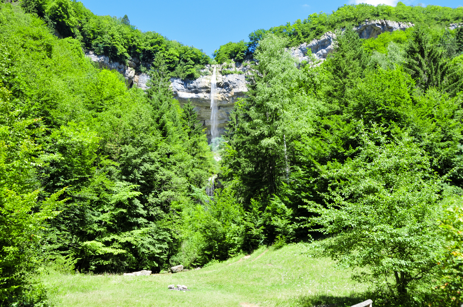
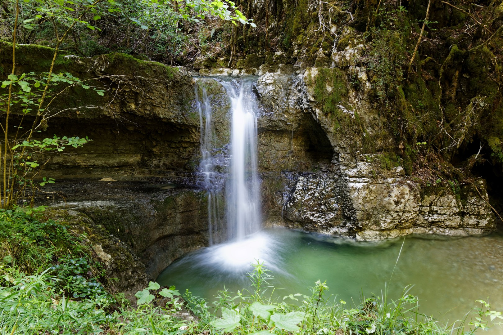
Departing from Ravilloles, this route makes a loop near Lake Cuttura. The trail descends rapidly into the forest, then joins the lake halfway and runs along its entire length.

Already more than 200,000 users!
Uphill
88m
Highest point
649m
Downhill
88m
Lowest point
590m
Route type
Loop
Download the map on your smartphone to save battery and rest assured to always keep access to the route, even without signal.
Includes IGN France and Swisstopo.
I indicate whether dogs are allowed or prohibited on this trail
All year
0 ratings
Also enjoy:

Already more than 200,000 users!