Uphill
120m
Length
11km
Duration
3h
Elev gain
120m
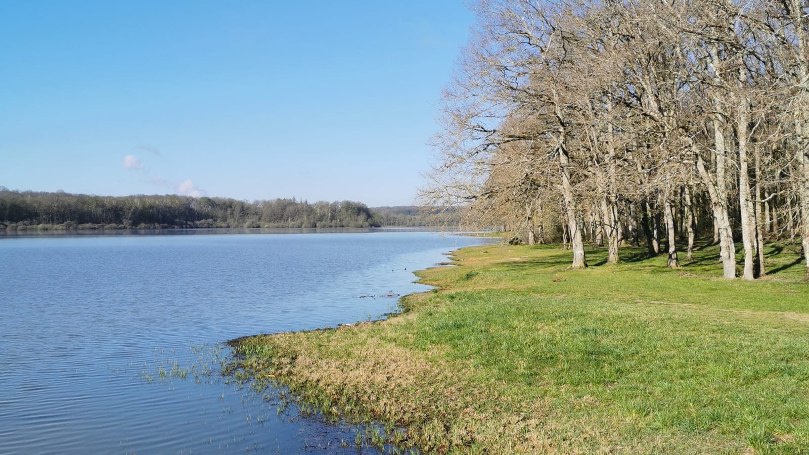
Here is a beautiful hike near Saint-Fargeau, on the shores of Lac du Bourdon. The route begins by following the lake on a relatively wild path, then continues a little further inland, on paths crossing fields and undergrowth.

Already more than 200,000 users!
Uphill
120m
Highest point
253m
Downhill
120m
Lowest point
188m
Route type
Loop
Download the map on your smartphone to save battery and rest assured to always keep access to the route, even without signal.
Includes IGN France and Swisstopo.
I indicate whether dogs are allowed or prohibited on this trail
All year
0 ratings
Also enjoy:

Already more than 200,000 users!


