Uphill
193m
Length
9km
Duration
3h
Elev gain
193m
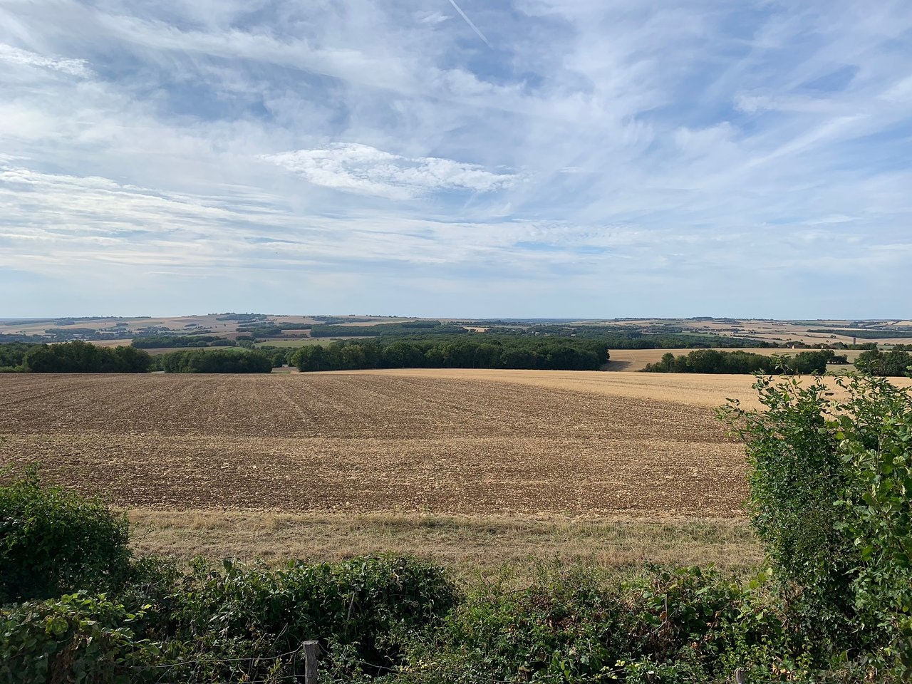
Here is a pretty hike offering unobstructed views, starting from the Alouettes mountain. The route follows paths, between fields and undergrowth.

Already more than 200,000 users!
Uphill
193m
Highest point
372m
Downhill
193m
Lowest point
225m
Route type
Loop
Download the map on your smartphone to save battery and rest assured to always keep access to the route, even without signal.
Includes IGN France and Swisstopo.
I indicate whether dogs are allowed or prohibited on this trail
All year
0 ratings
Also enjoy:

Already more than 200,000 users!


