Uphill
265m
Length
12km
Duration
3h30min
Elev gain
265m
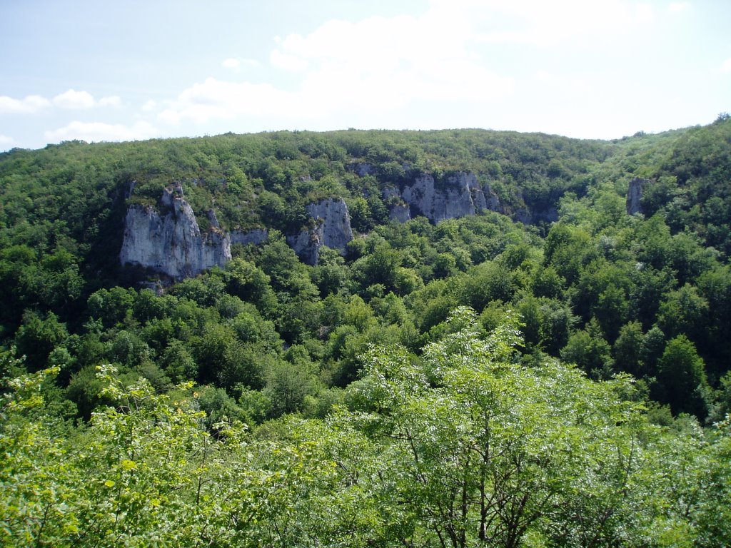
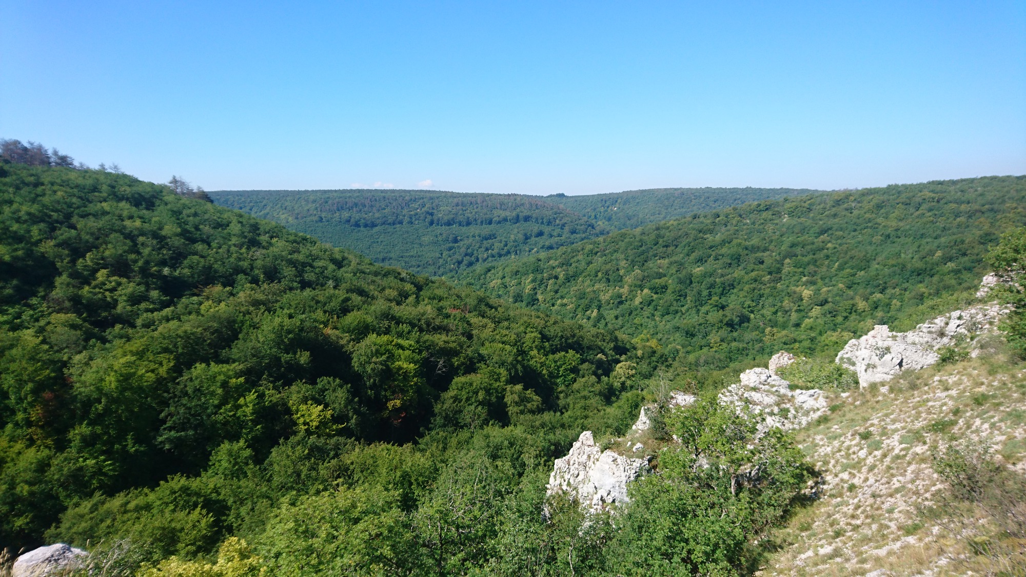
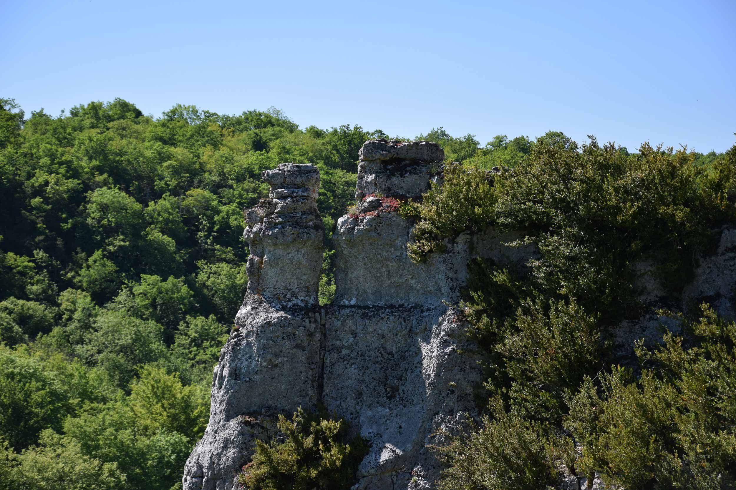
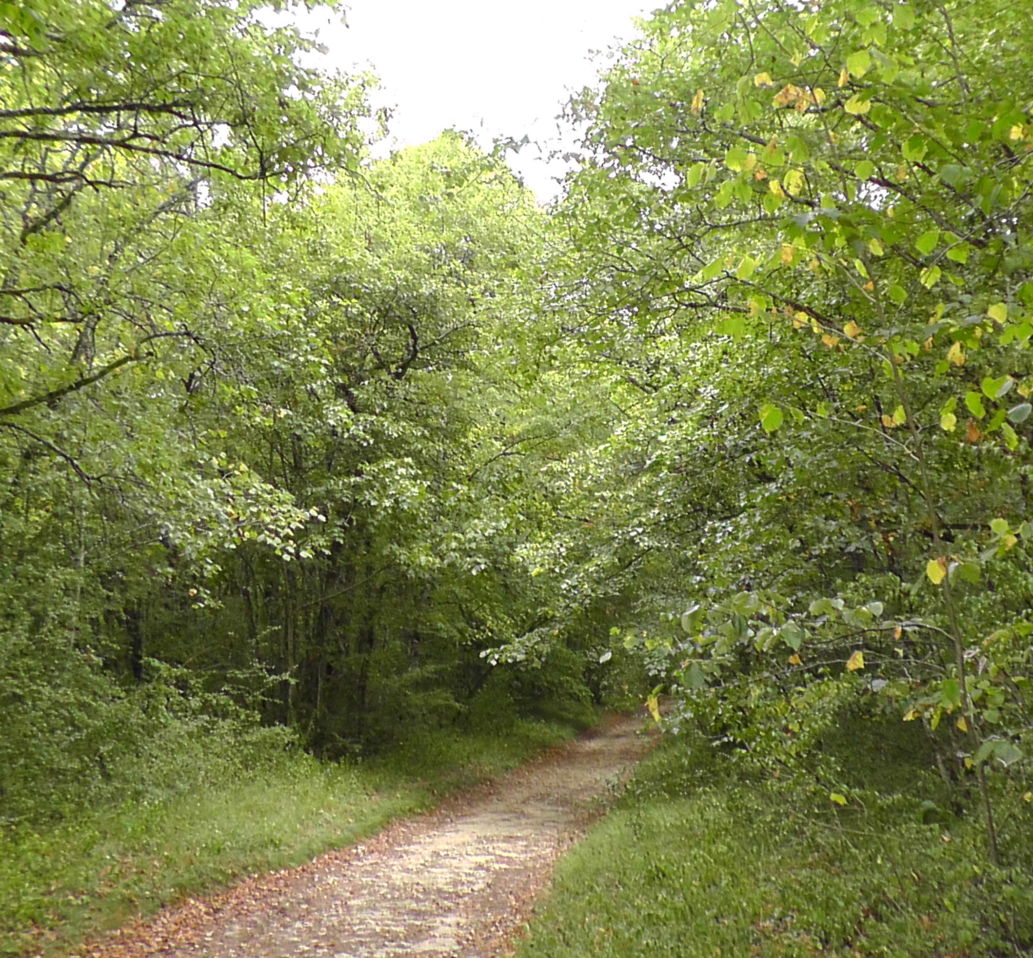
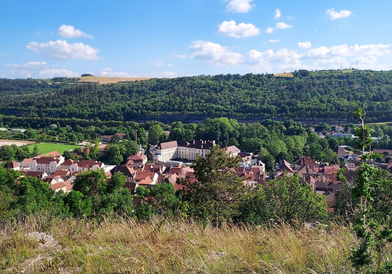
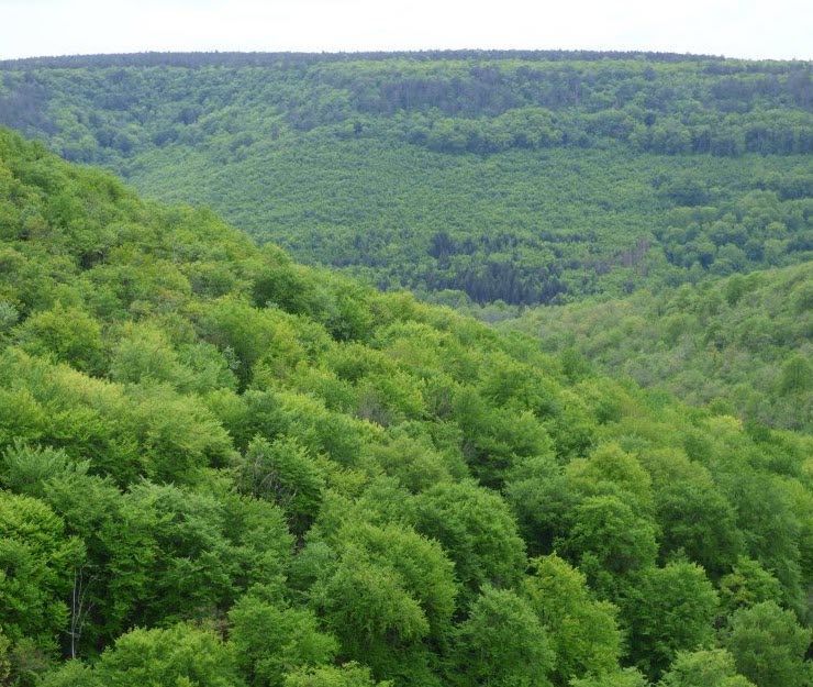
Here is a nice route with diverse and varied landscapes. This hike crosses remarkable environments, on one side we have a small cliff which limits the expansion of the woods and on the other, the rû de la Roche which influences the vegetation. The main species present in the Auxois are to be found on this charming route.

Already more than 200,000 users!
Uphill
265m
Highest point
517m
Downhill
265m
Lowest point
334m
Route type
Loop
Download the map on your smartphone to save battery and rest assured to always keep access to the route, even without signal.
Includes IGN France and Swisstopo.
I indicate whether dogs are allowed or prohibited on this trail
All year
0 ratings
Also enjoy:

Already more than 200,000 users!