Uphill
44m
Length
11km
Duration
2h30min
Elev gain
44m
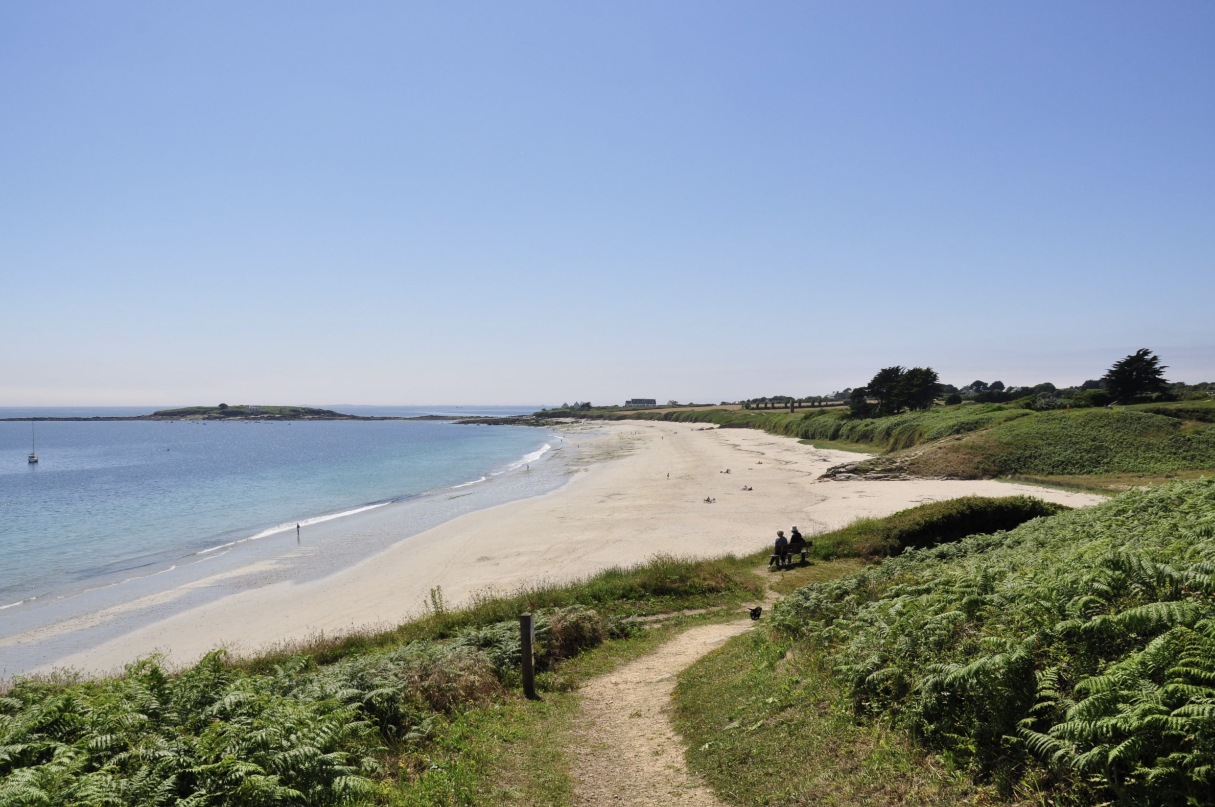
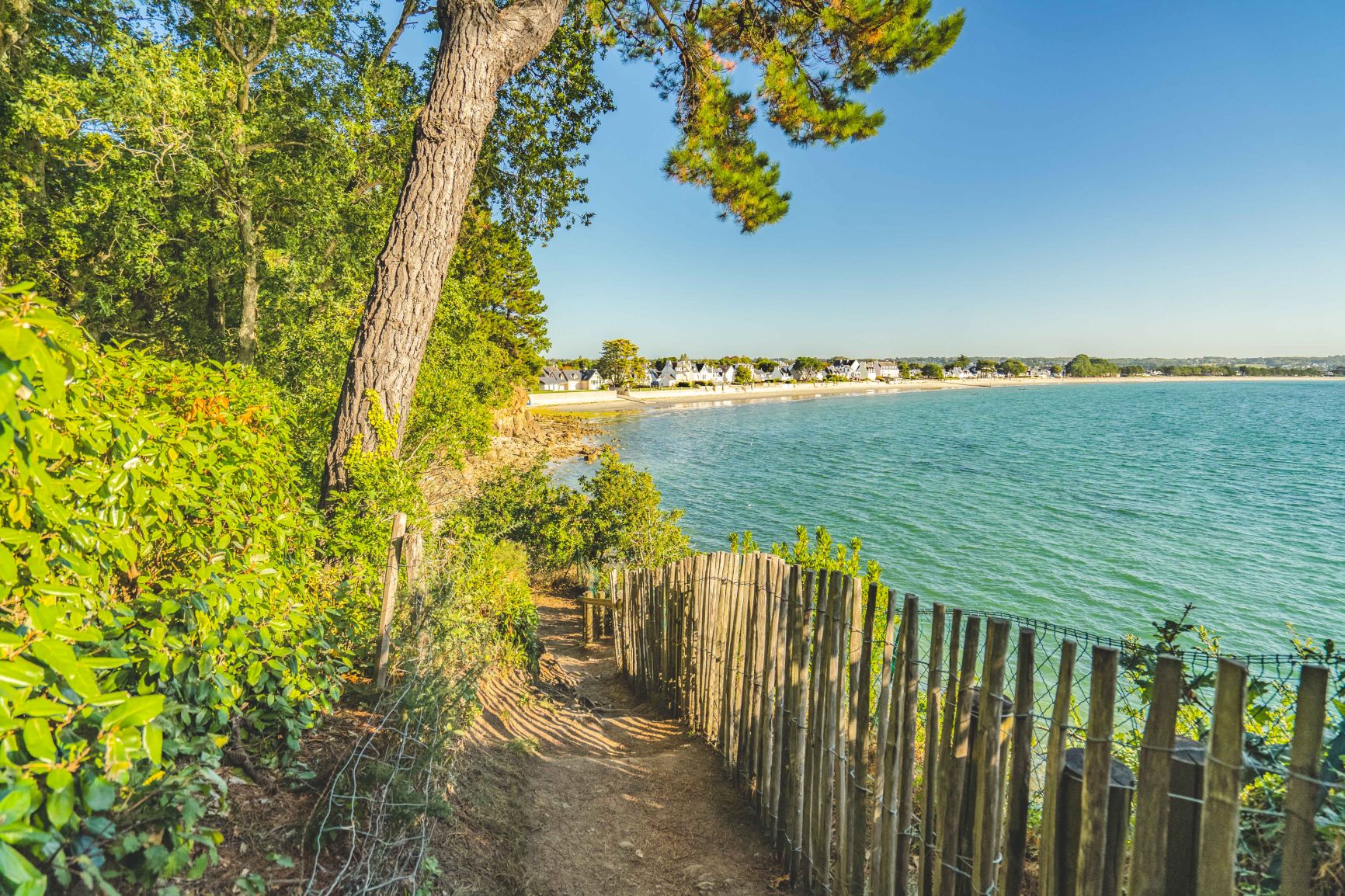
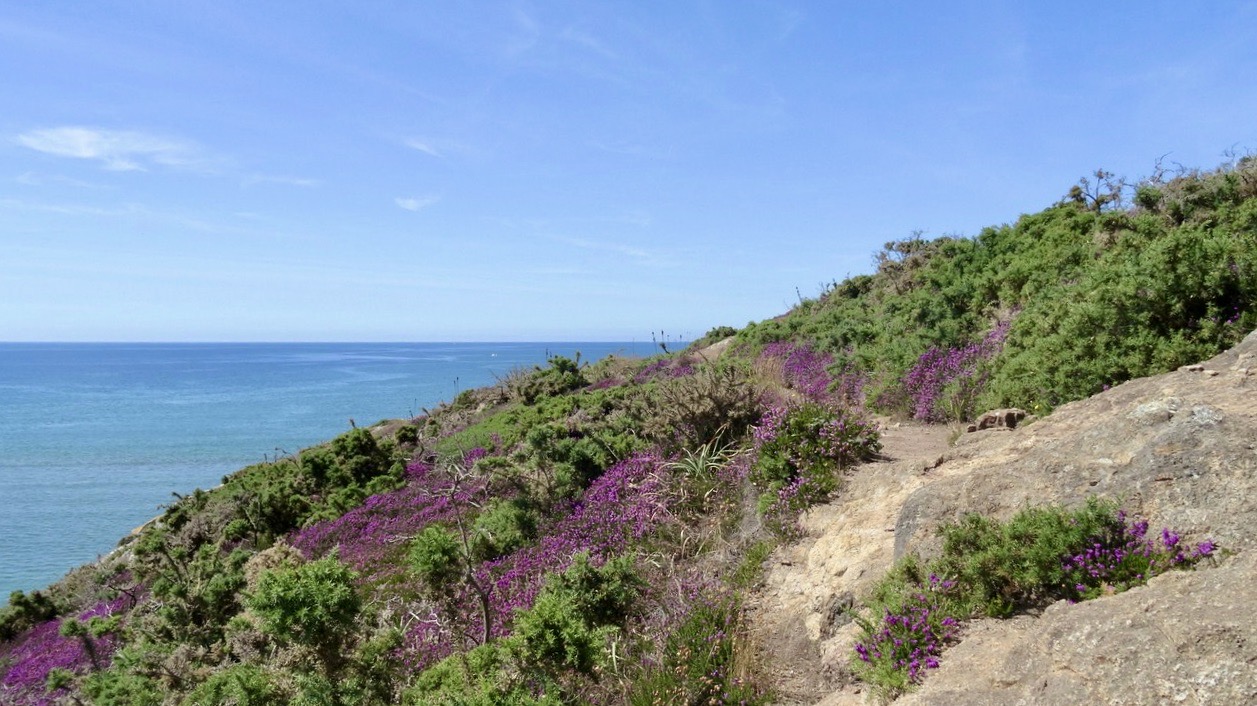
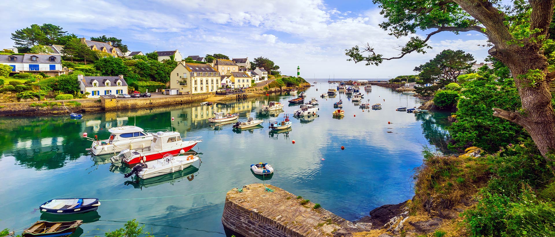
Coastal path allowing to discover the Anse de Pouldohan and the Pointe de la Jument.
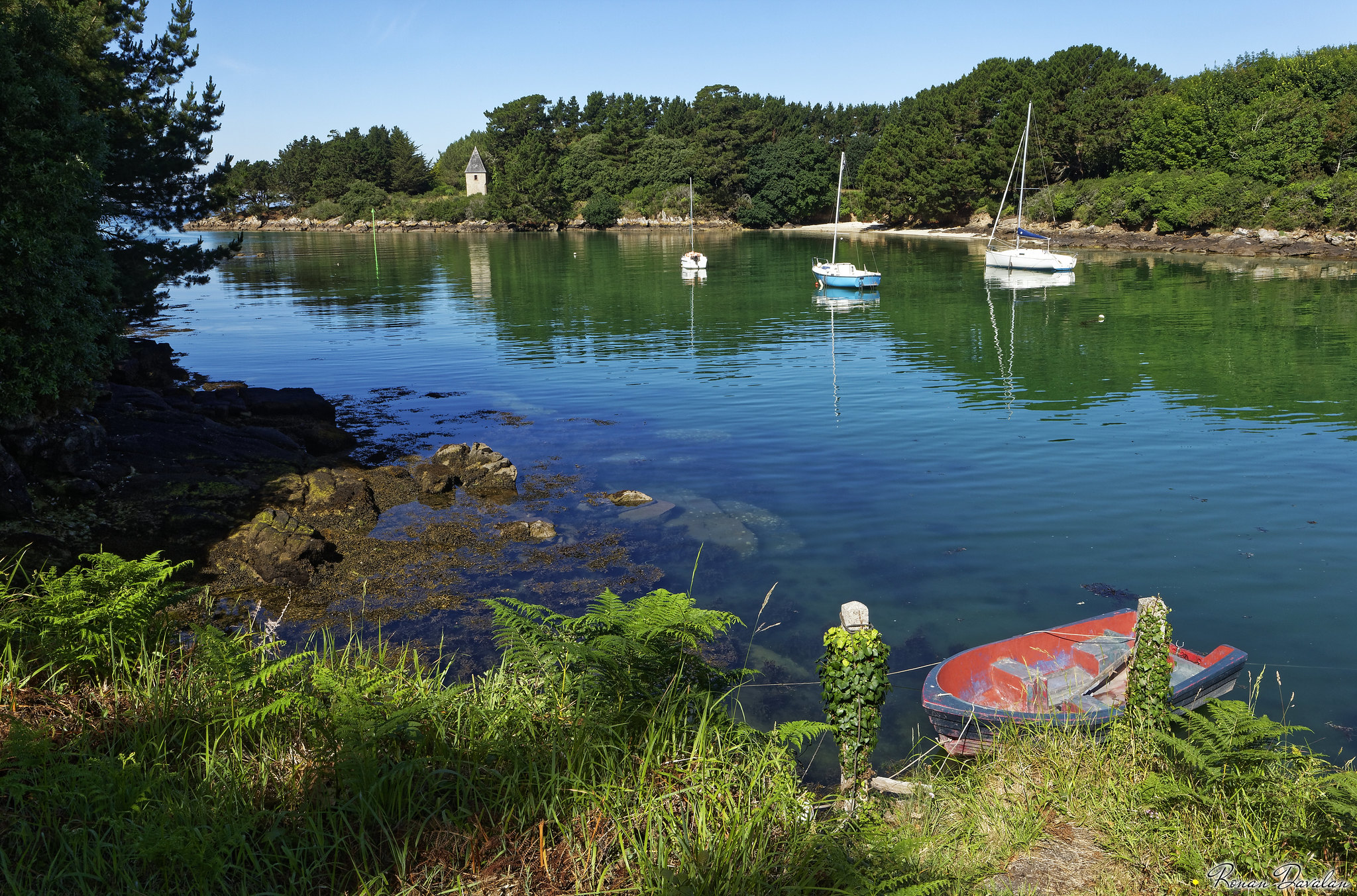
It is possible to walk along the coast back and forth, or to make a loop winding through the land between fields and hamlets. It takes several paved roads.

Already more than 200,000 users!
Uphill
44m
Highest point
31m
Downhill
44m
Lowest point
0m
Route type
Loop
Download the map on your smartphone to save battery and rest assured to always keep access to the route, even without signal.
Includes IGN France and Swisstopo.
I indicate whether dogs are allowed or prohibited on this trail
All year
2 ratings
Also enjoy:

Already more than 200,000 users!