Uphill
78m
Length
9km
Duration
2h30min
Elev gain
78m
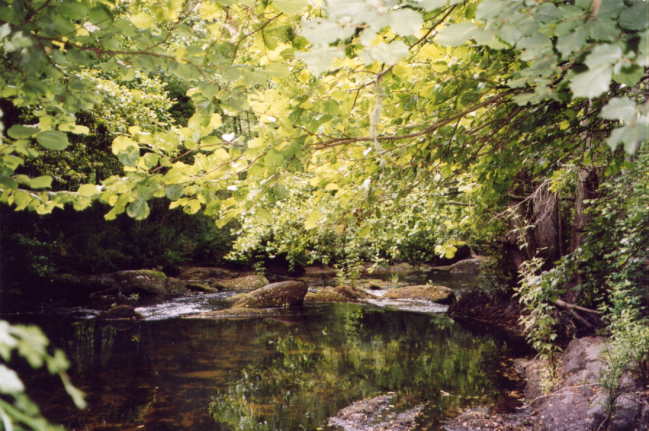
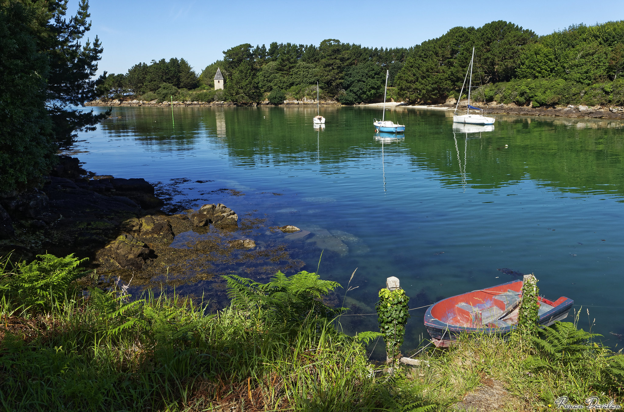
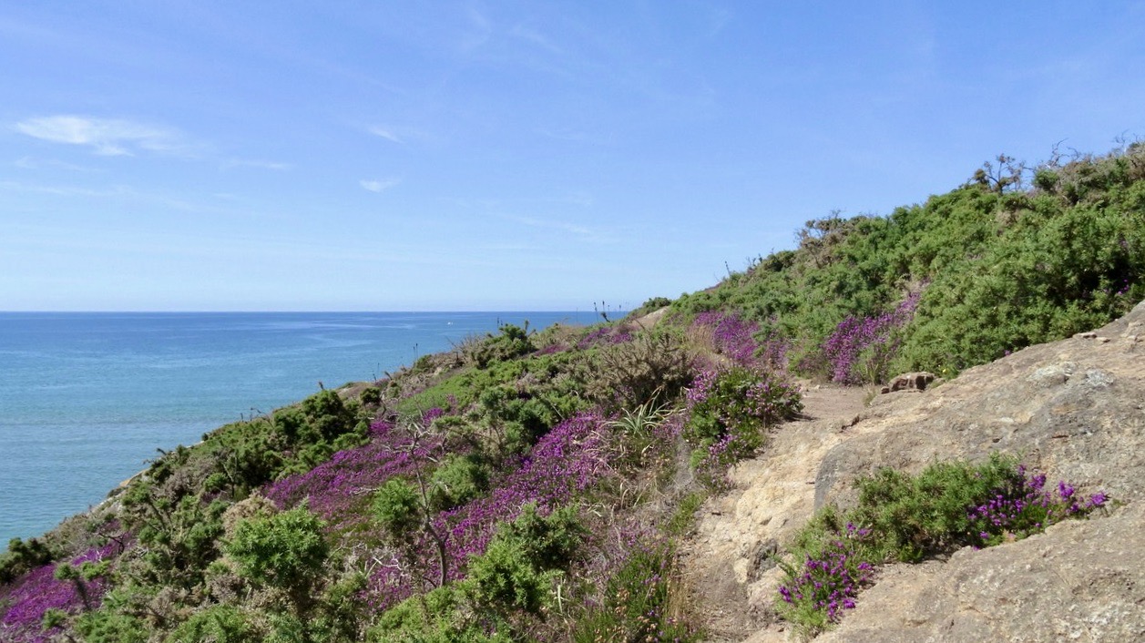
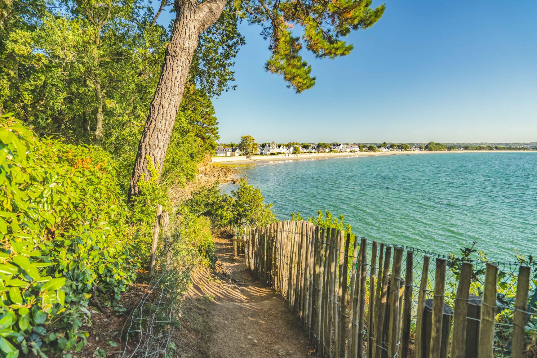
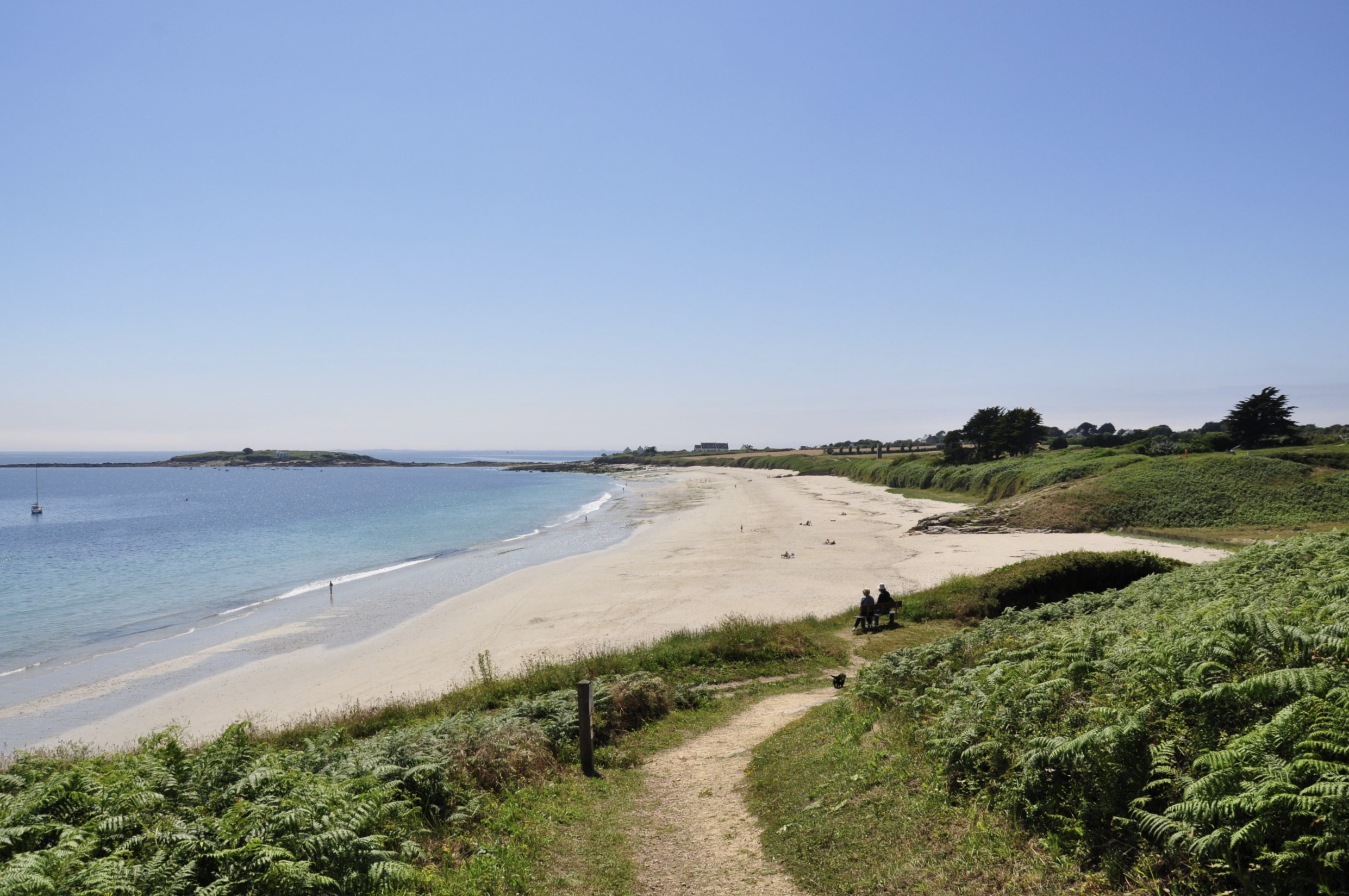
Departing from Dourveil beach, this round trip takes the coastal path to the cove of Rospico. Sea view all along.

Already more than 200,000 users!
Uphill
78m
Highest point
18m
Downhill
78m
Lowest point
0m
Route type
There and back
Download the map on your smartphone to save battery and rest assured to always keep access to the route, even without signal.
Includes IGN France and Swisstopo.
I indicate whether dogs are allowed or prohibited on this trail
All year
1 rating
Très belle balade
Also enjoy:

Already more than 200,000 users!