Uphill
13m
Length
4km
Duration
1h
Elev gain
13m
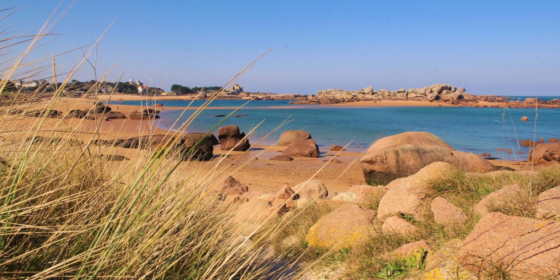
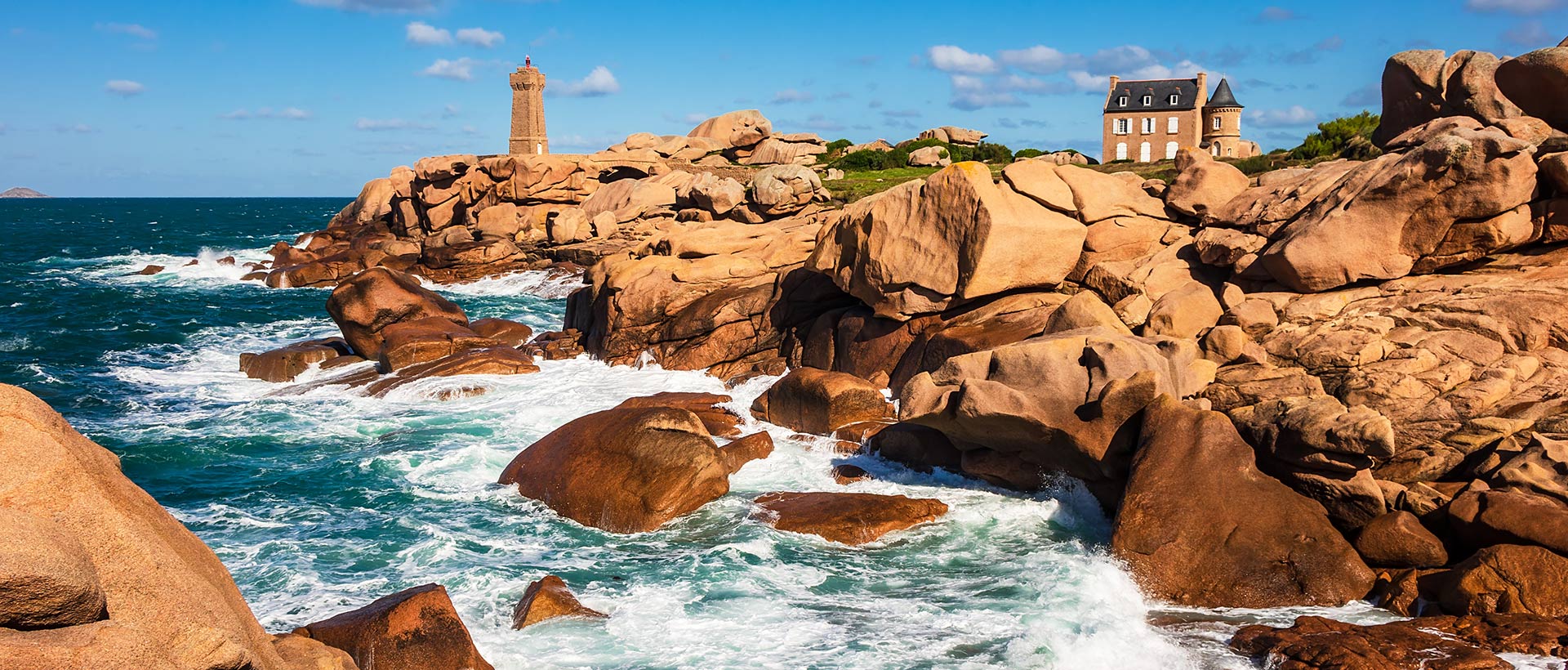
Departing from Ploumanac'h, this route runs along the coast and its famous pink granite rocks. The customs path leads to the Ploumanac'h lighthouse, which overlooks a steep coastline.

Already more than 200,000 users!
Uphill
13m
Highest point
17m
Downhill
13m
Lowest point
2m
Route type
Loop
Download the map on your smartphone to save battery and rest assured to always keep access to the route, even without signal.
Includes IGN France and Swisstopo.
1 rating
Also enjoy:

Already more than 200,000 users!