Uphill
13m
Length
8km
Duration
2h
Elev gain
13m
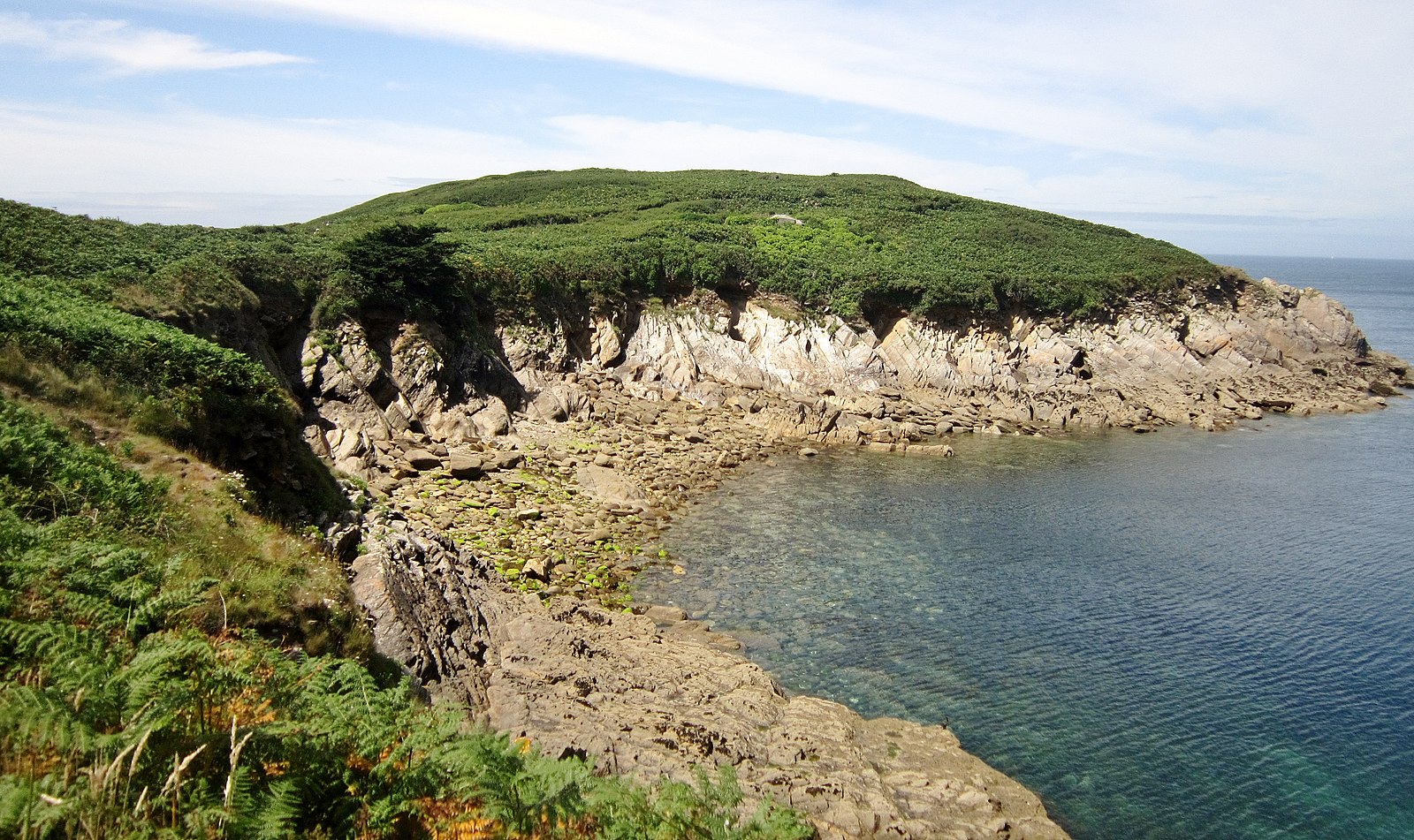
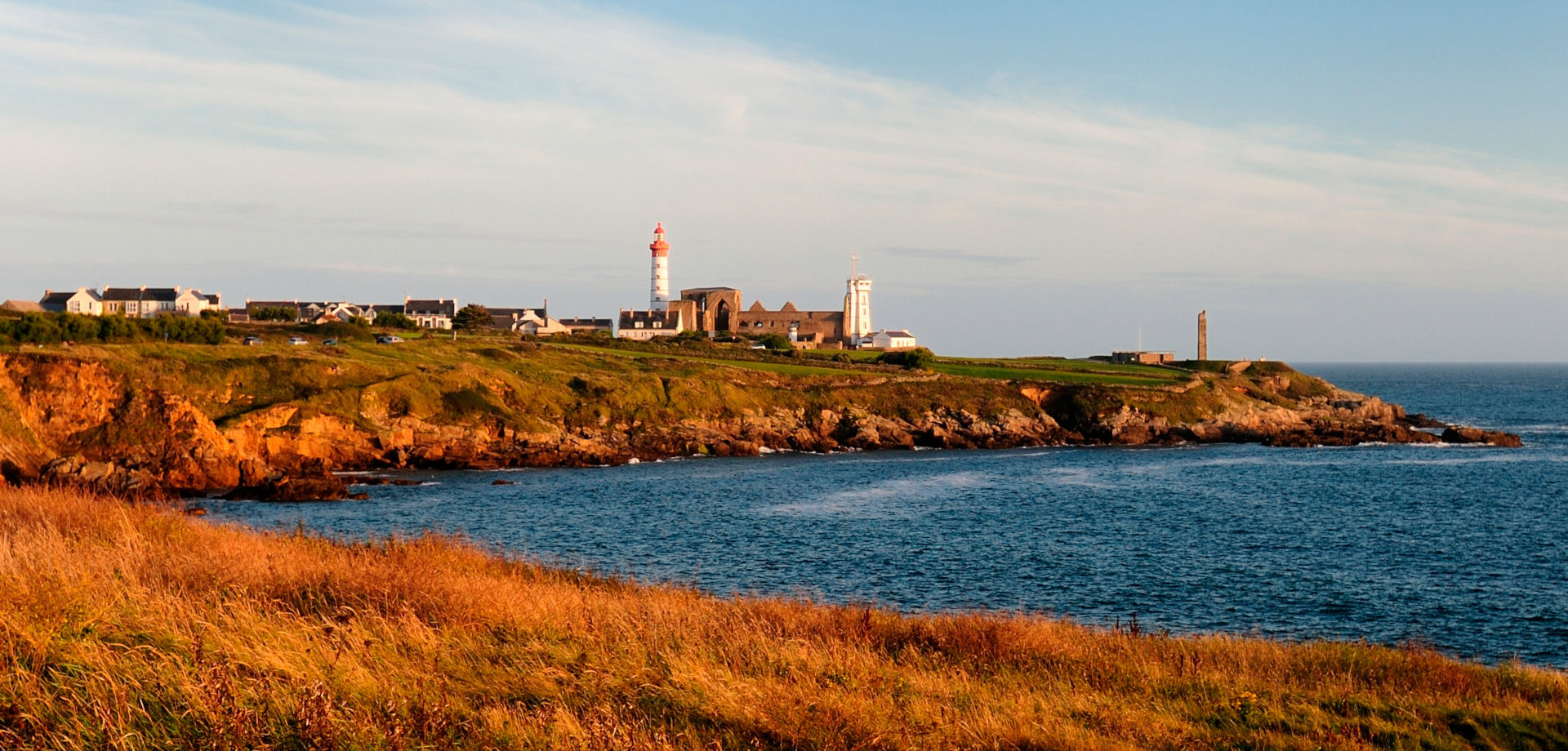
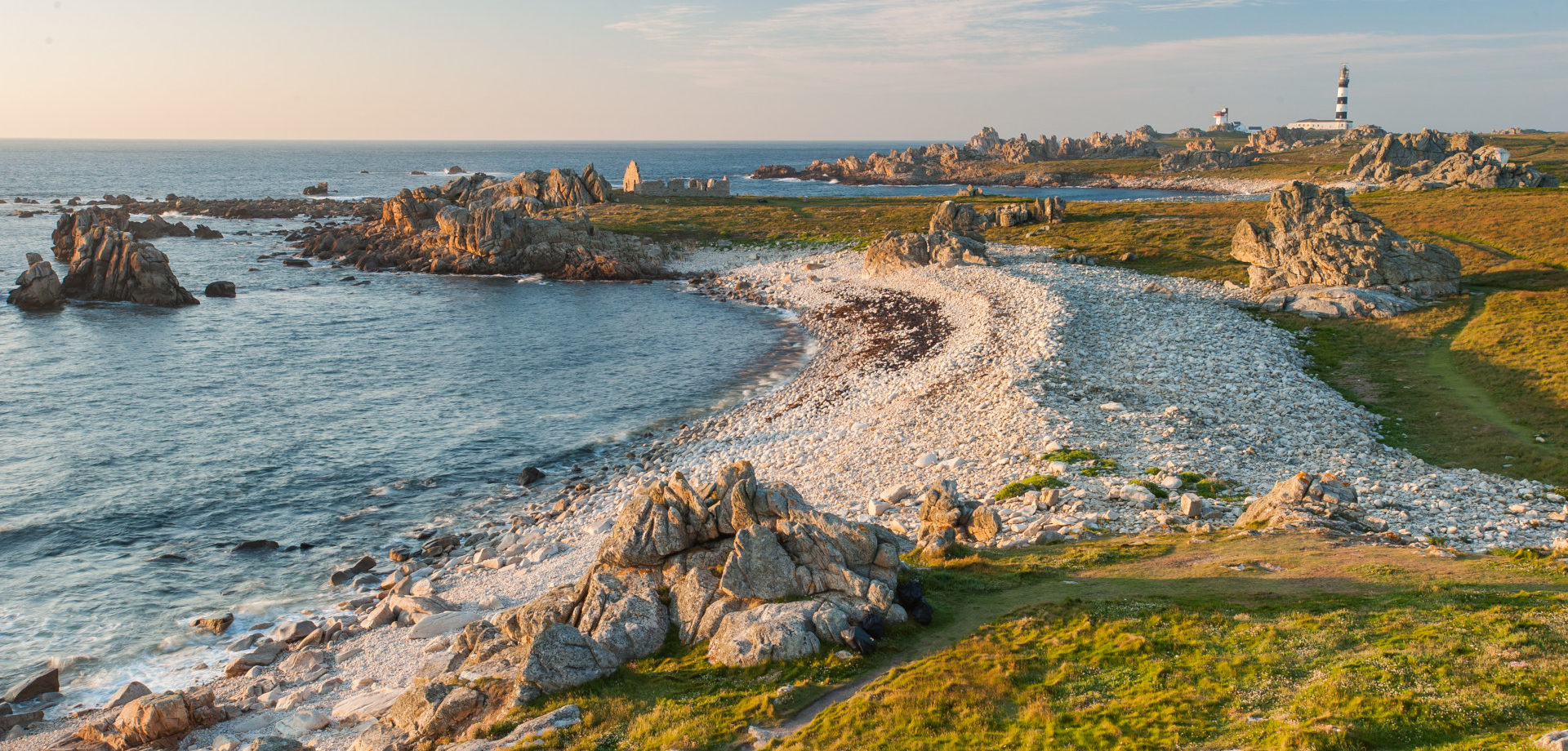
A walk on the coastal path going from the tip of Landunvez to that of Trémazan, along the tourist route. A big breath of fresh air.

Already more than 200,000 users!
Uphill
13m
Highest point
21m
Downhill
13m
Lowest point
3m
Route type
There and back
Download the map on your smartphone to save battery and rest assured to always keep access to the route, even without signal.
Includes IGN France and Swisstopo.
I indicate whether dogs are allowed or prohibited on this trail
All year
2 ratings
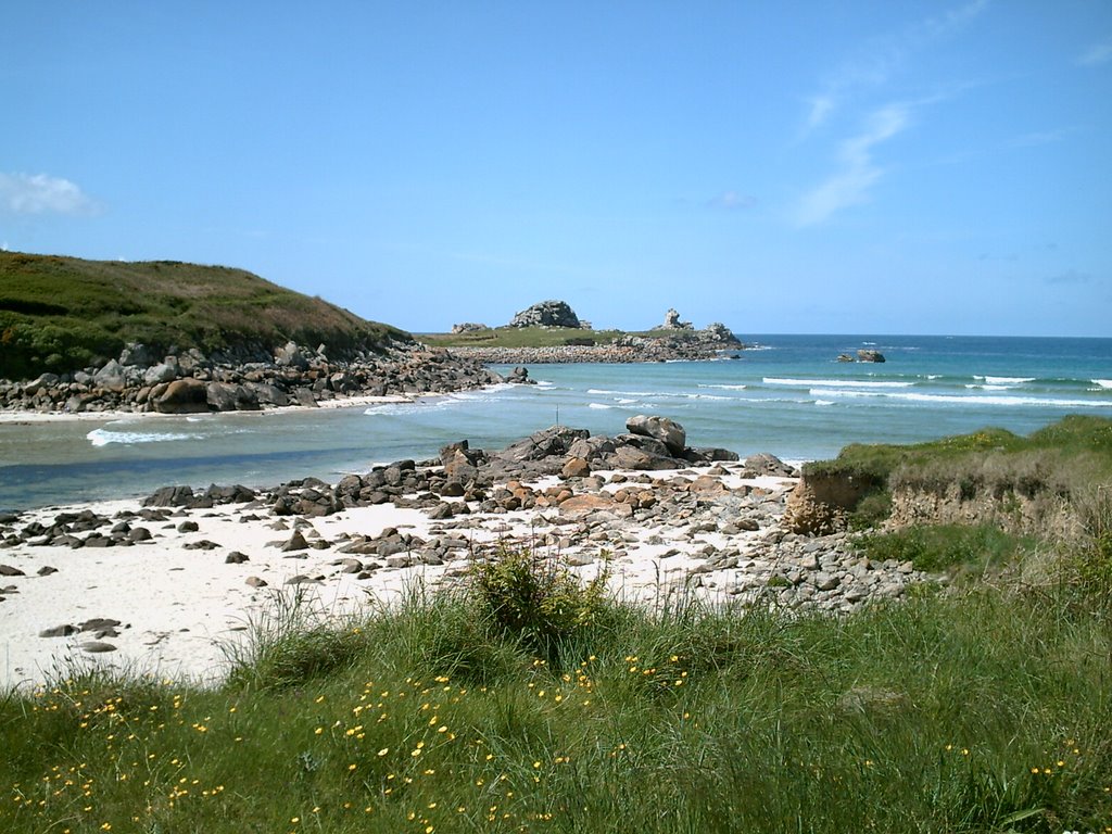
Balade sympa avec des airs de bout du monde. La route n’est jamais loin, mais elle était peu fréquentée lorsque nous avons fait ce sentier en septembre.
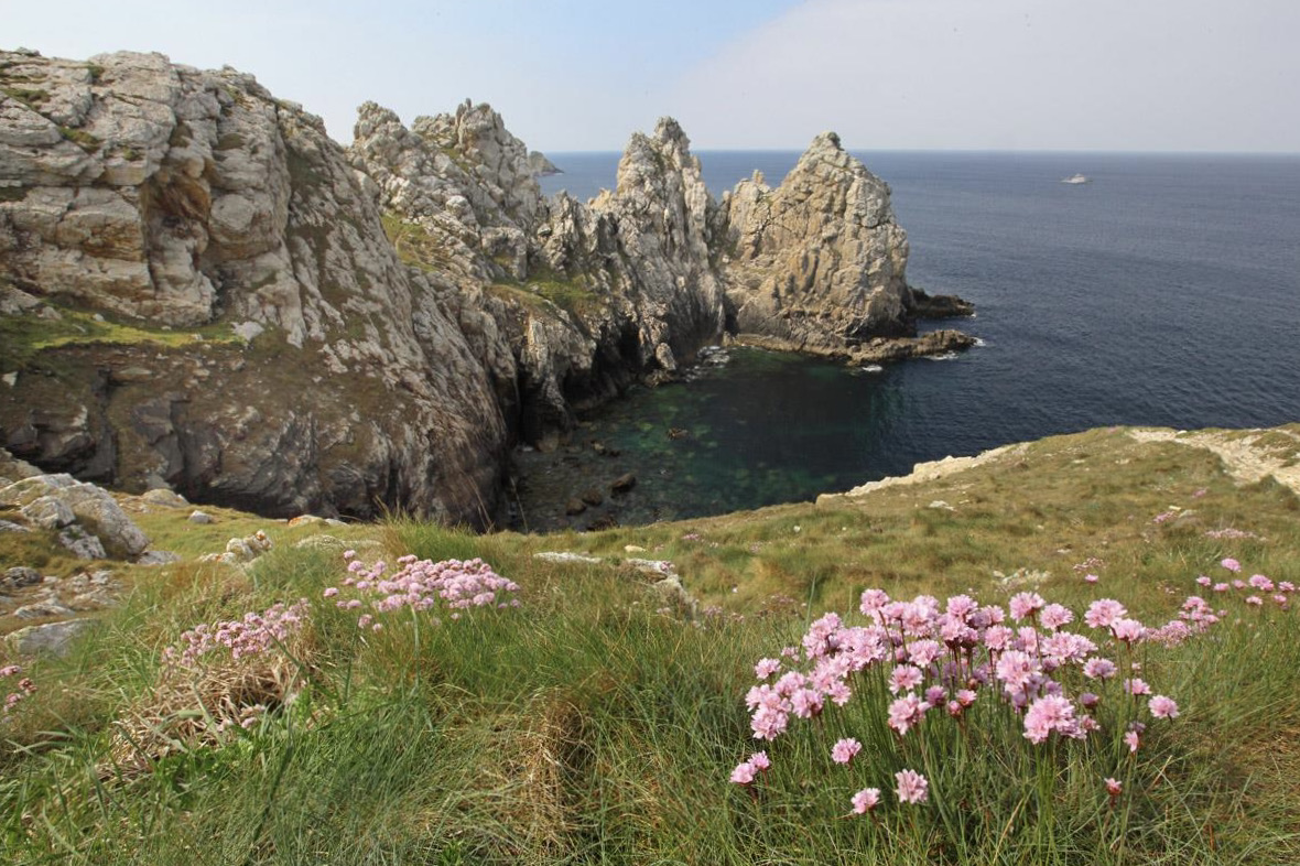
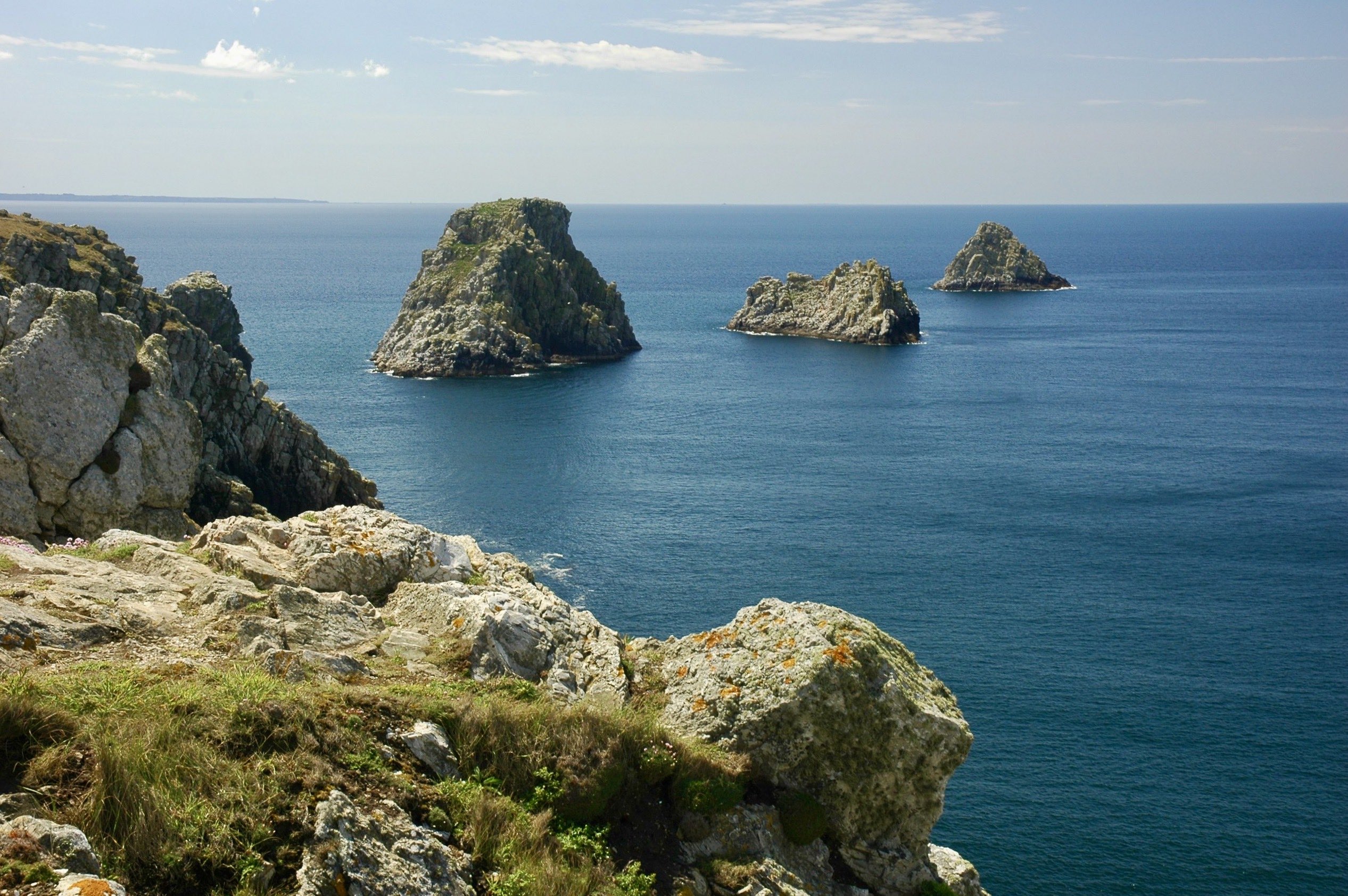
La côte est découpée, presque menaçante. Un amas de rochers permet de prendre de la hauteur et de bénéficier d’un joli point de vue au niveau de la pointe de Landunvez.
Also enjoy:

Already more than 200,000 users!