Uphill
289m

Length
9km
Duration
3h
Elev gain
289m
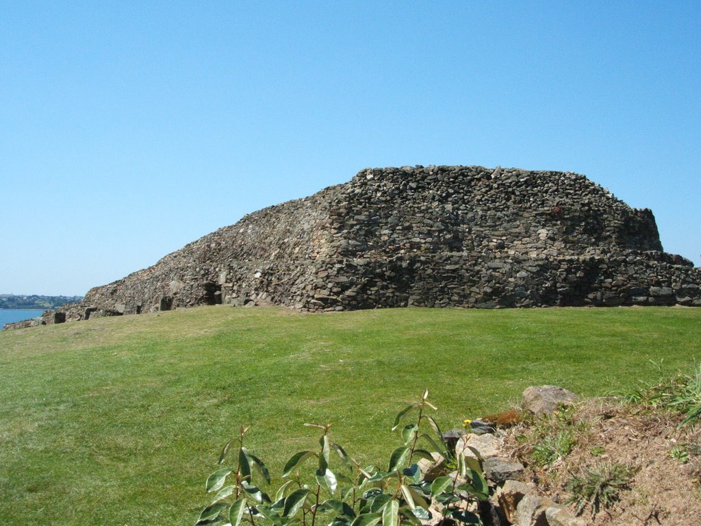
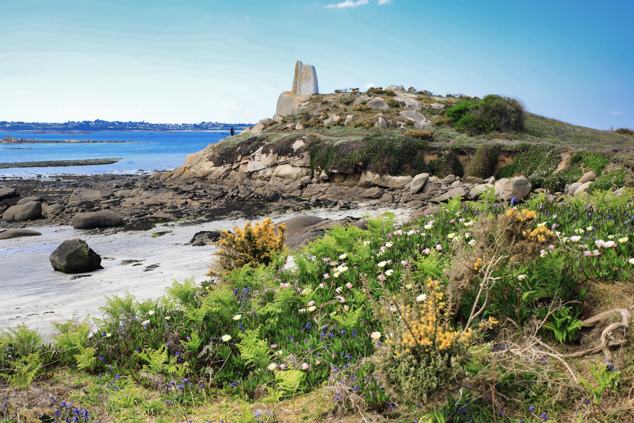
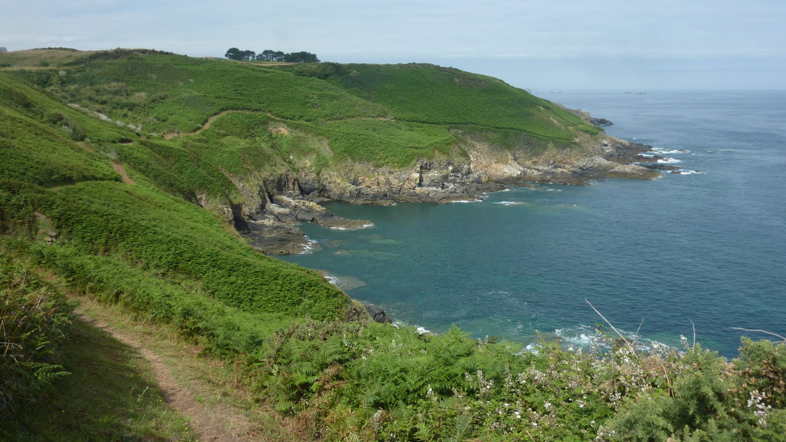
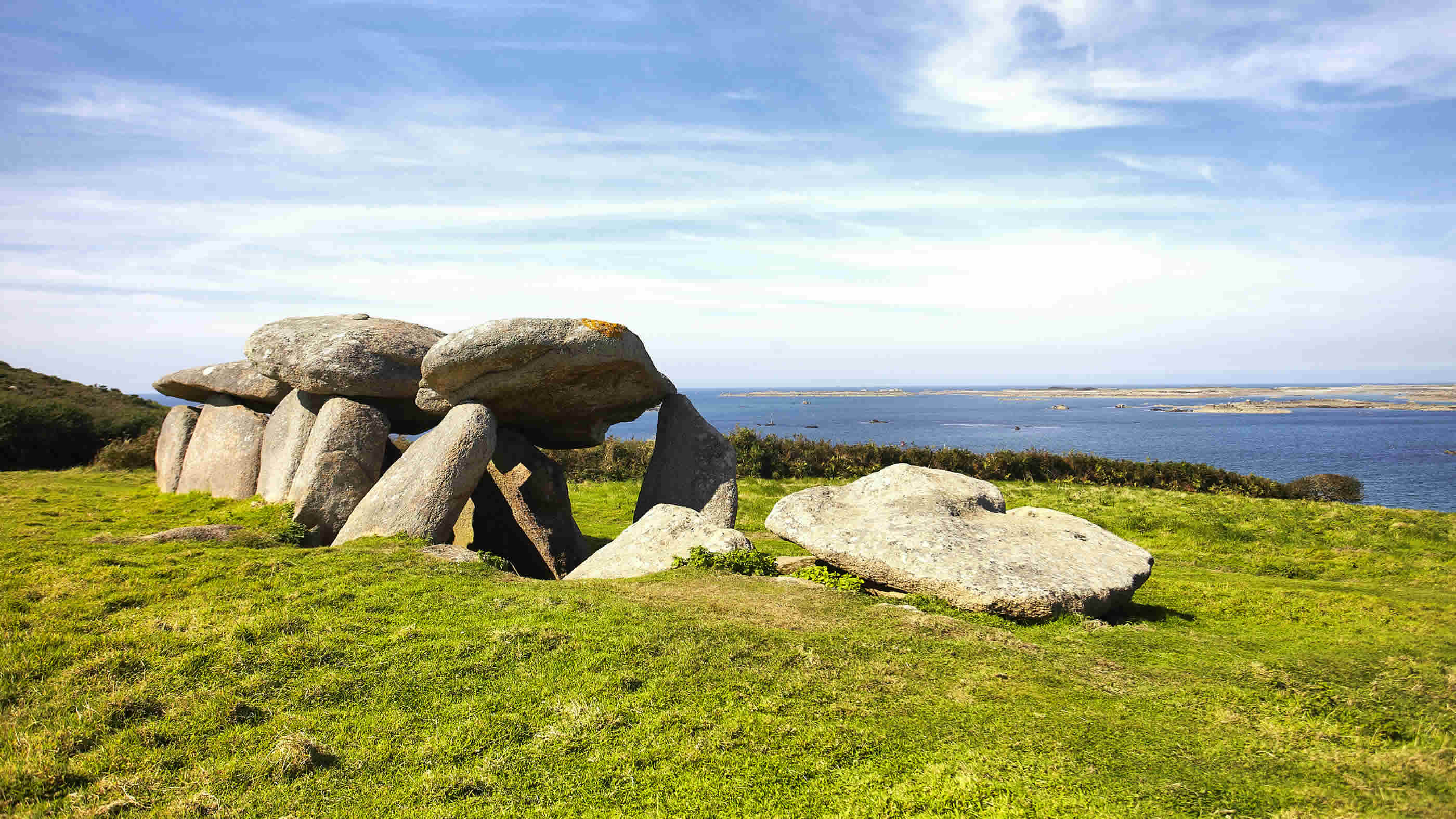
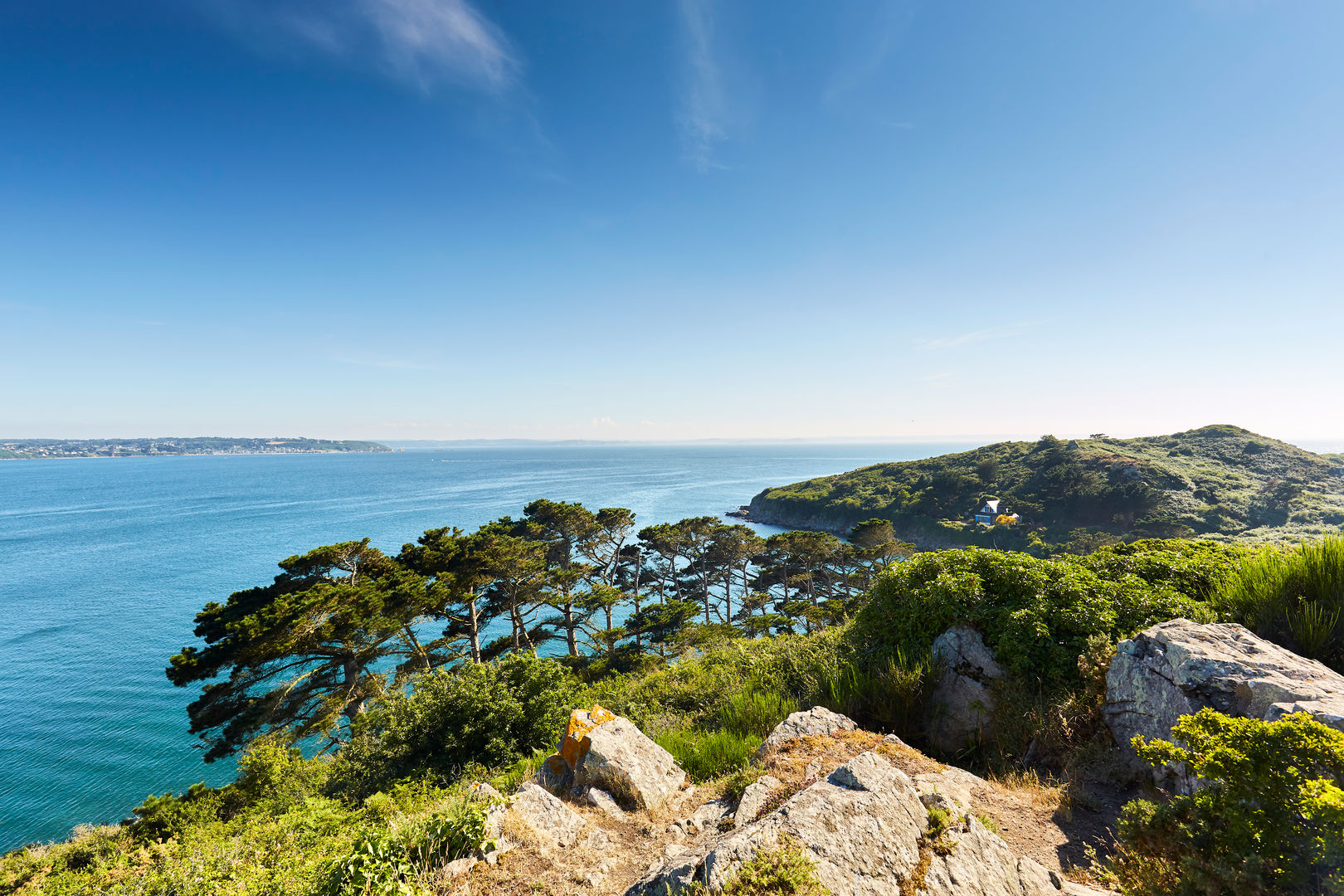
Rather sporty coastal path, following the sea from the beach of Saint-Jean-du-Doigt to that of Poul Rodou. Beautiful landscapes all the way. The route does not include the return - possibility to go inland or to turn around.

Already more than 200,000 users!
Uphill
289m
Highest point
66m
Downhill
290m
Lowest point
6m
Route type
One way
Download the map on your smartphone to save battery and rest assured to always keep access to the route, even without signal.
Includes IGN France and Swisstopo.
Parking at each end of the route, in both Saint-Jean-du-Doigt and Poul Rodou.
I indicate whether dogs are allowed or prohibited on this trail
All year
1 rating
Nous avons effectué la moitié sud de cet itinéraire, au départ de la plage de Poul Rodou. Une belles succession de falaises et de criques, sur une côté assez découpée.
Ce qui est appréciable : le relief assez marqué pour la Bretagne, et le peu de fréquentation.
Also enjoy:

Already more than 200,000 users!