Uphill
252m

Length
15km
Duration
4h30min
Elev gain
252m
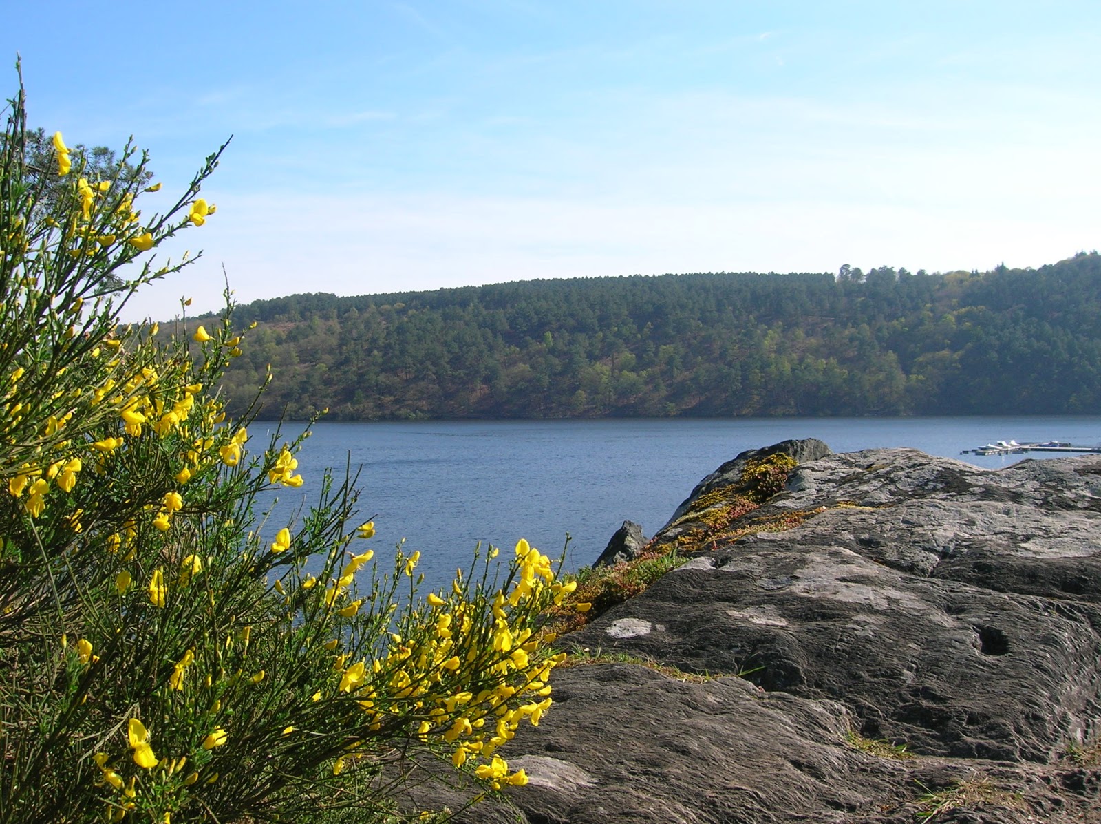
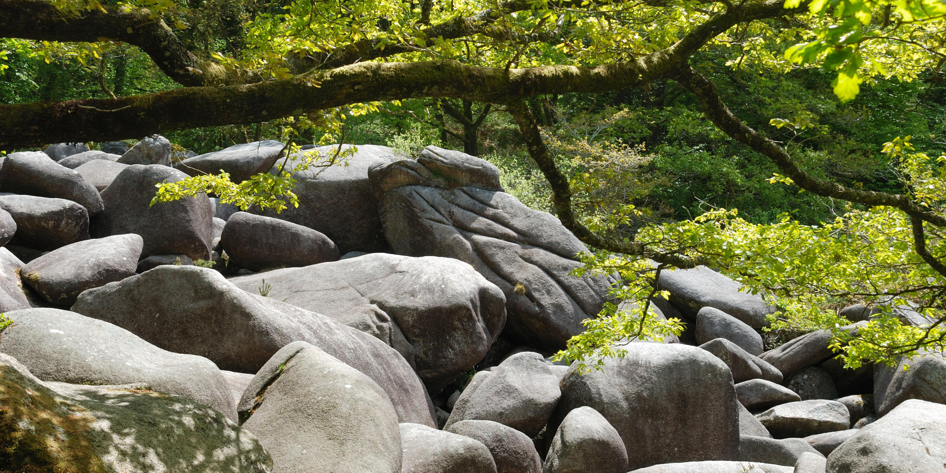
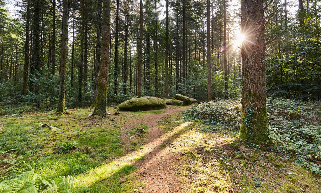
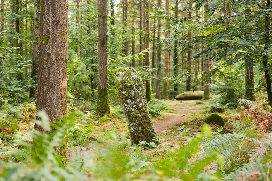
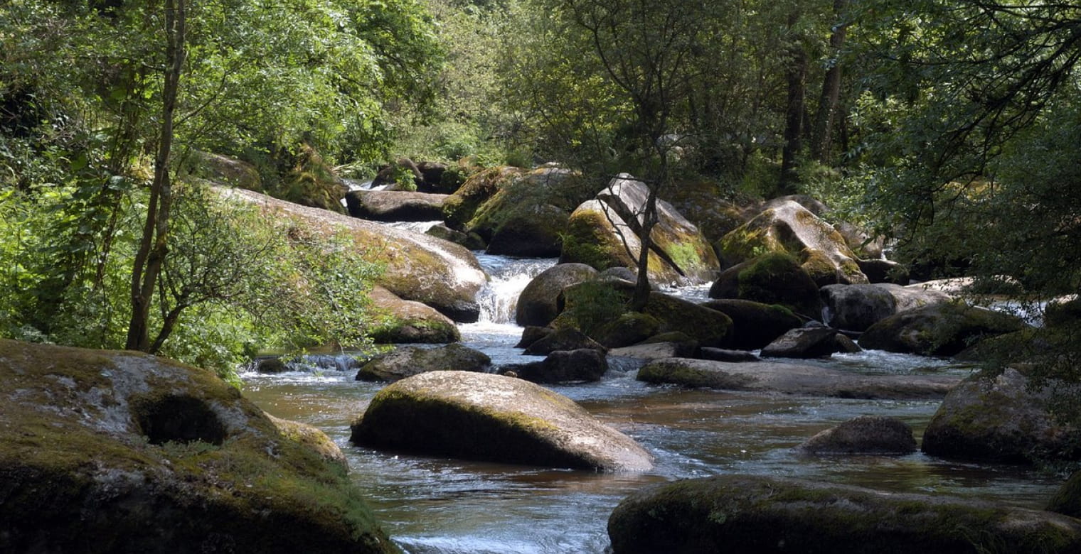
Departing from Bon Repos abbey, this is a large loop in the forest up to the cove of Sordan. Nice views of Lake Guerlédan, which we walk along for 7 kilometers.

Already more than 200,000 users!
Uphill
252m
Highest point
230m
Downhill
252m
Lowest point
124m
Route type
Loop
Download the map on your smartphone to save battery and rest assured to always keep access to the route, even without signal.
Includes IGN France and Swisstopo.
I indicate whether dogs are allowed or prohibited on this trail
All year
3 ratings
Le chemin démarre derrière la maisonnette de WC à Bon-Repos. L’itinéraire qui suit dans la forêt présente quelques incertitudes. Au 1er panneau indicateur dans un virage, poursuivre le chemin qui monte vers la droite (le tracé gps nous induit en erreur et nous fait aller sortir du circuit). Sinon c’est un circuit riche et changeant. Assez sportif. Et surtout…. désert 🙂
Also enjoy:

Already more than 200,000 users!