Uphill
179m
Length
10km
Duration
3h
Elev gain
179m
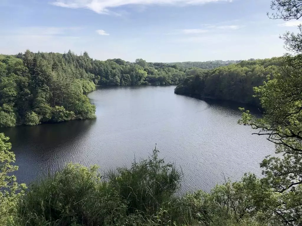
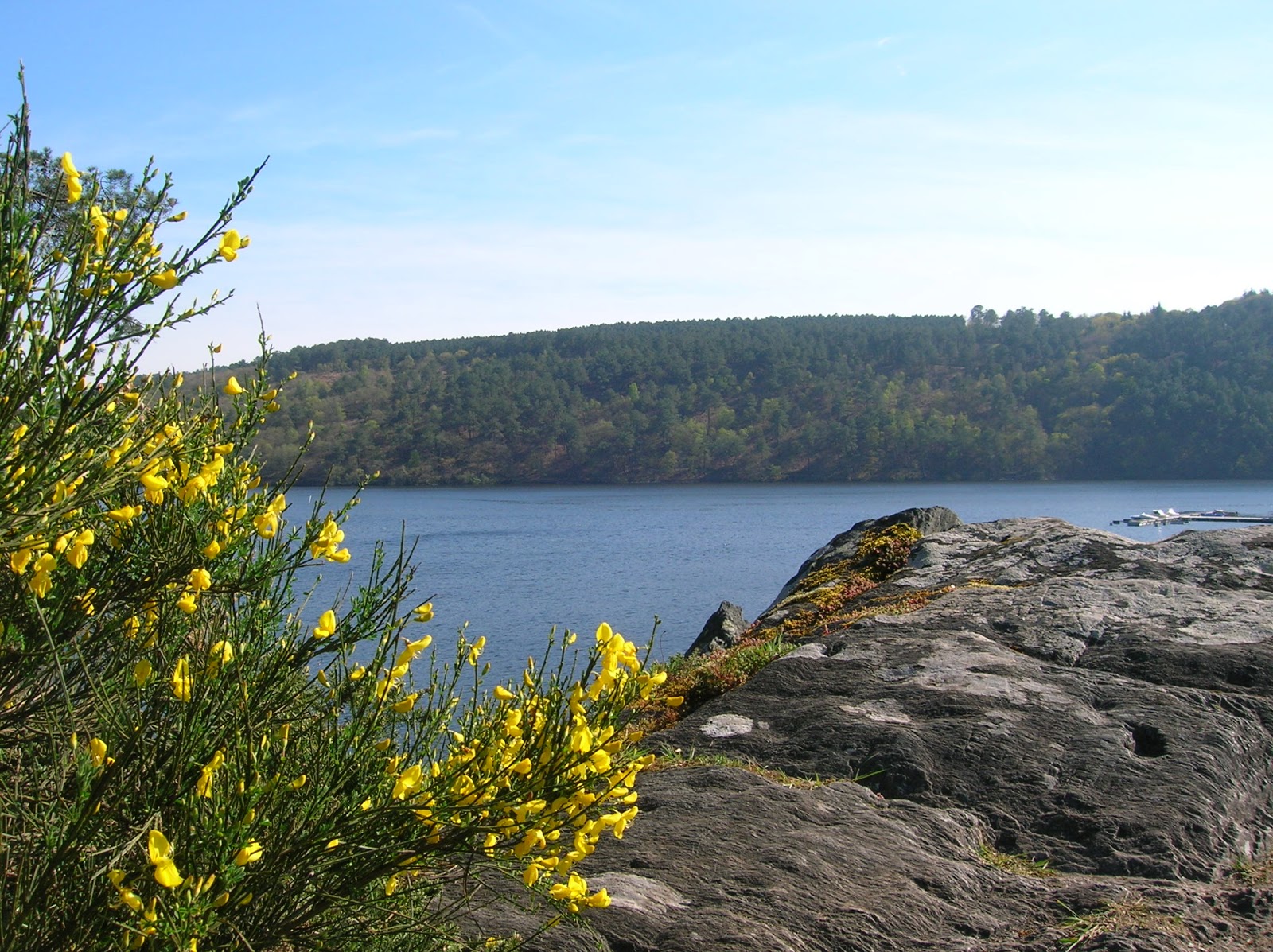
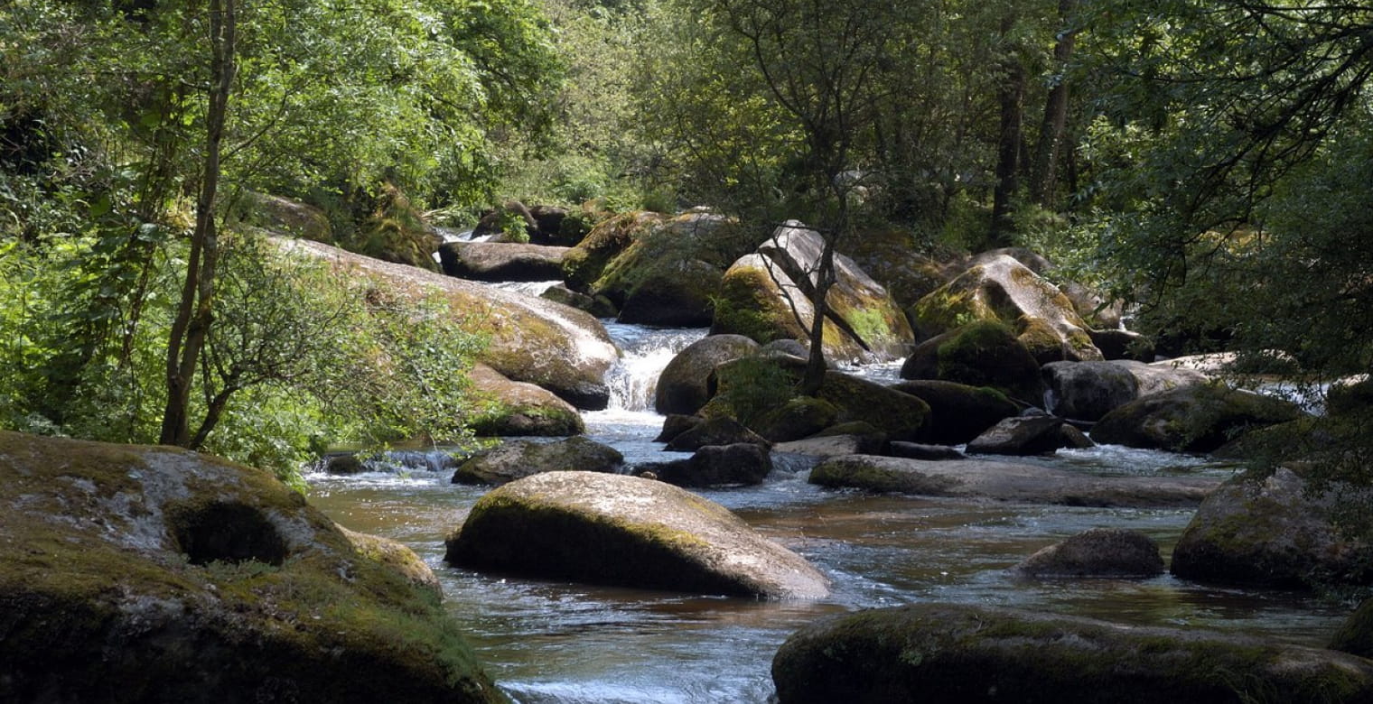
Departing from Sainte-Anne du Houlin, this is a walk to discover the granite chaos of the Gouët valley. A nice shaded trail which is as close as possible to the water.

Already more than 200,000 users!
Uphill
179m
Highest point
160m
Downhill
179m
Lowest point
73m
Route type
Loop
Download the map on your smartphone to save battery and rest assured to always keep access to the route, even without signal.
Includes IGN France and Swisstopo.
I indicate whether dogs are allowed or prohibited on this trail
All year
5 ratings
Superbe paysage. Ombragé. Un régal pour la vue
Also enjoy:

Already more than 200,000 users!