Uphill
263m
Length
11km
Duration
3h30min
Elev gain
263m
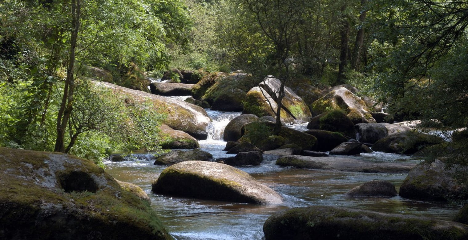
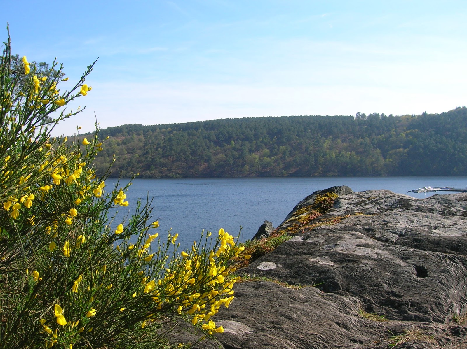
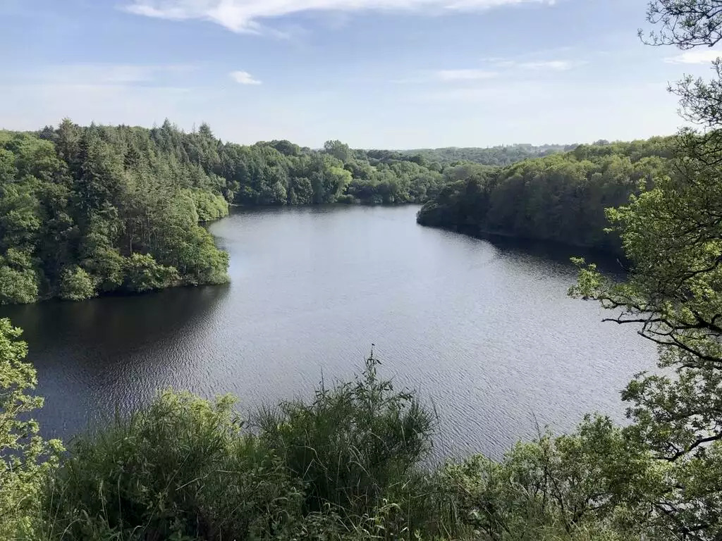
Stroll around the lake of Saint-Barthélémy, created in 1978 by a dam.
The steep path is not as close as possible to the lake, but is pleasantly wooded and often lets you see the water.

Already more than 200,000 users!
Uphill
263m
Highest point
138m
Downhill
263m
Lowest point
69m
Route type
Loop
Download the map on your smartphone to save battery and rest assured to always keep access to the route, even without signal.
Includes IGN France and Swisstopo.
I indicate whether dogs are allowed or prohibited on this trail
All year
0 ratings
Also enjoy:

Already more than 200,000 users!