Uphill
179m

Length
16km
Duration
4h30min
Elev gain
179m
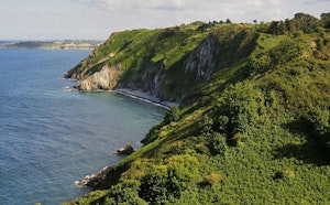
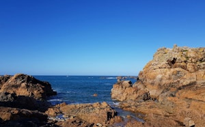
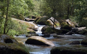
Departing from Port Clos, accessible by ferry from Arcouest, this route goes around the island of Bréhat.
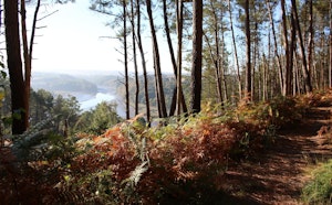
The trail runs along the sea most of the time, between flowered houses and wilder spaces on the northern part of the island.

Already more than 200,000 users!
Uphill
179m
Highest point
35m
Downhill
179m
Lowest point
0m
Route type
Loop
Download the map on your smartphone to save battery and rest assured to always keep access to the route, even without signal.
Includes IGN France and Swisstopo.
2 ratings
Also enjoy:

Already more than 200,000 users!