Uphill
197m
Length
6km
Duration
2h
Elev gain
197m
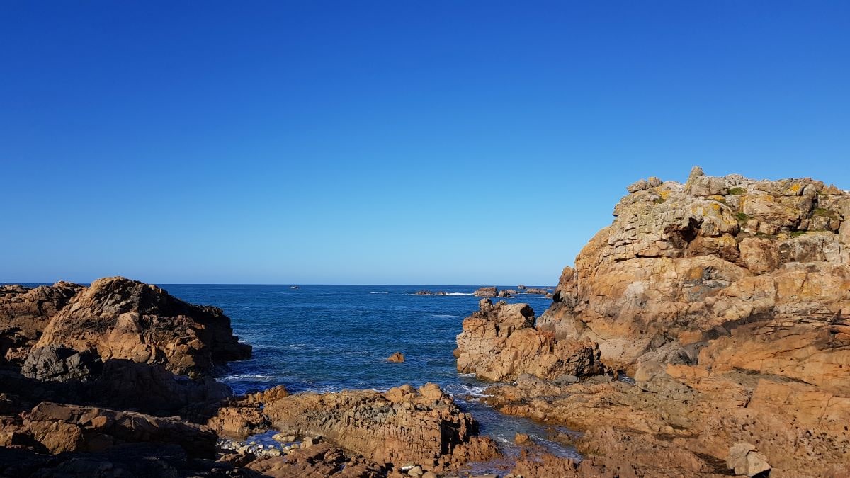
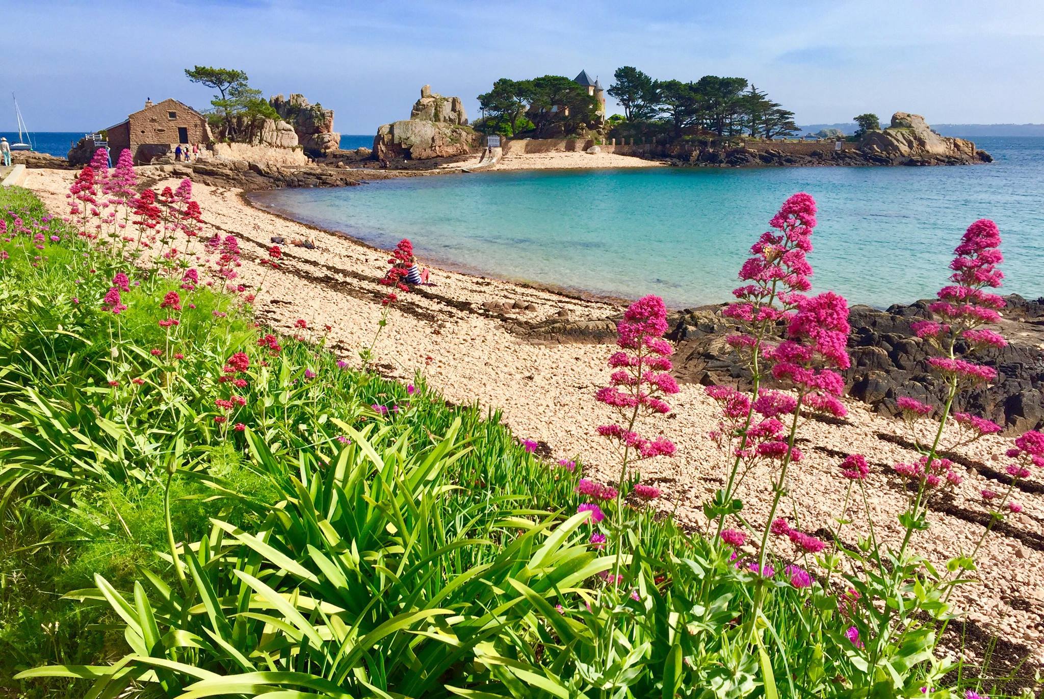
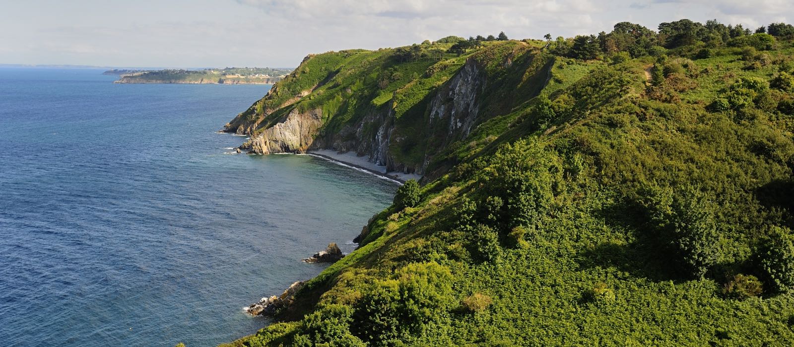
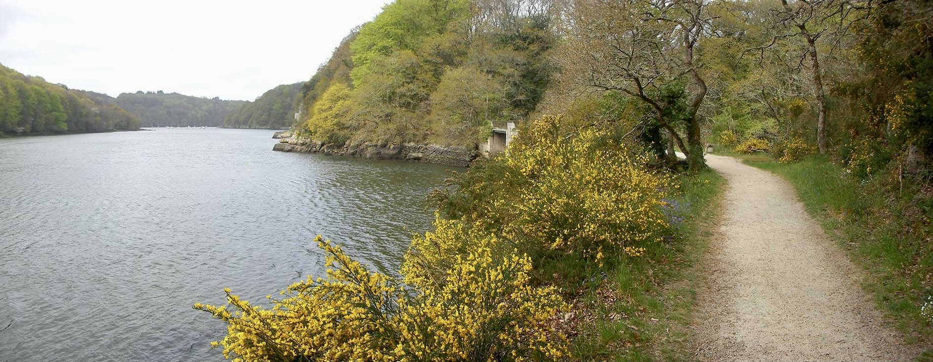
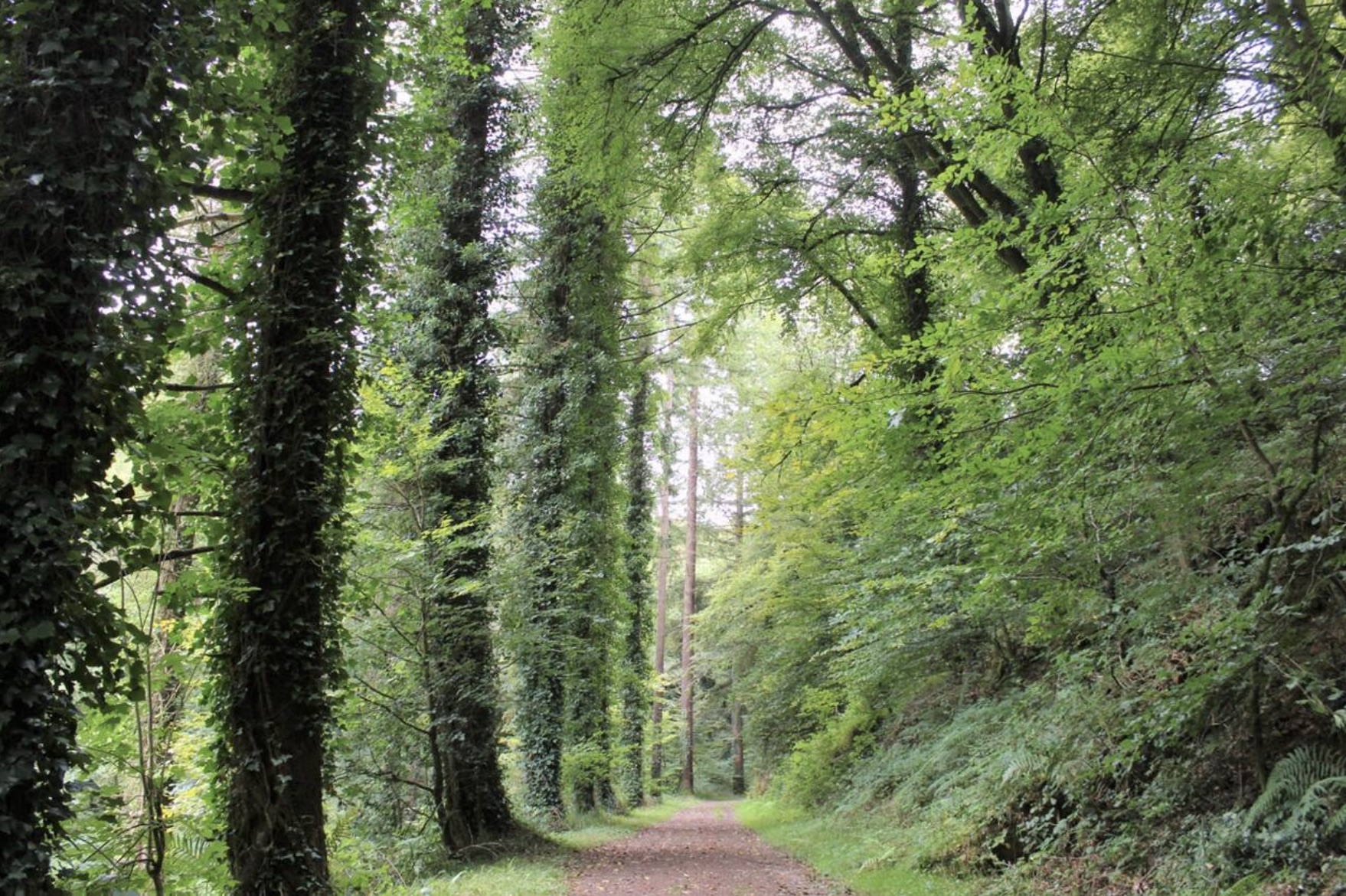
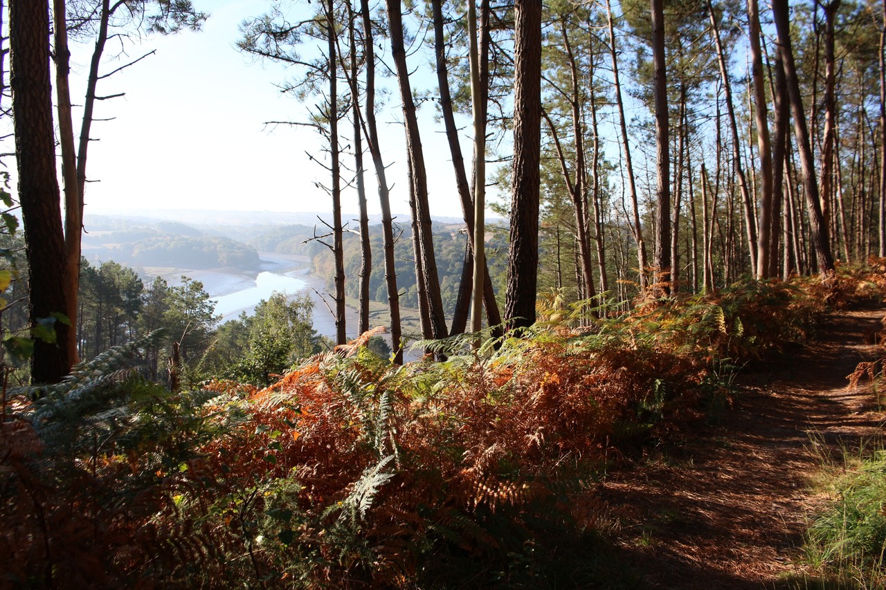
From the Maison de l'Estuaire, this is a very pleasant hike in a pine forest overlooking the meanders of the Trieux. It is also possible to admire the castle of Roche Jagu, and the passage of a tourist steam train.

Already more than 200,000 users!
Uphill
197m
Highest point
91m
Downhill
197m
Lowest point
11m
Route type
Loop
Download the map on your smartphone to save battery and rest assured to always keep access to the route, even without signal.
Includes IGN France and Swisstopo.
Parking de la Maison de l'Estuaire.
Halte de Traou-Nez to come by train.
2 ratings
Also enjoy:

Already more than 200,000 users!