Uphill
144m
Length
16km
Duration
4h30min
Elev gain
144m
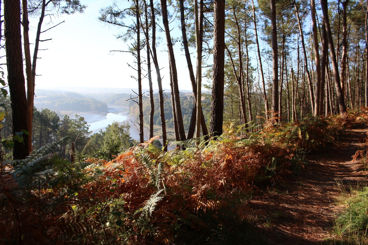
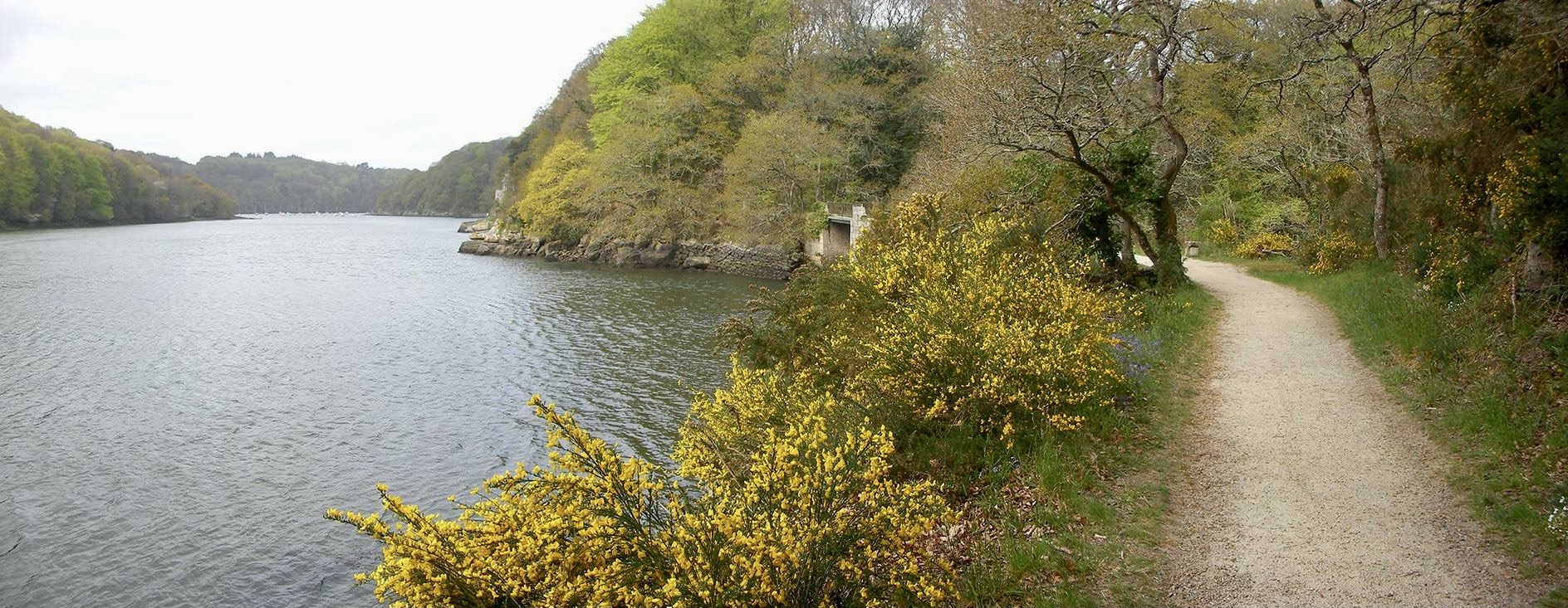
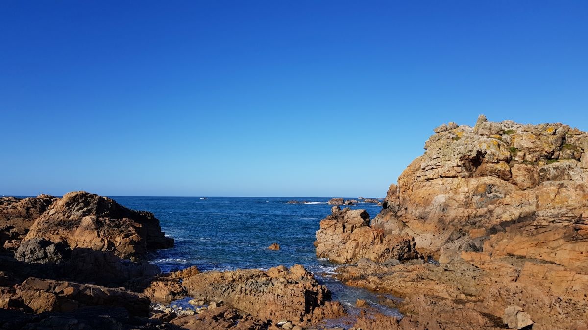
Here is a long hike along the coast of Plougrescant, most of the time along moors, fields or undergrowth. Crossing the land, however, requires taking a few roads.

Already more than 200,000 users!
Uphill
144m
Highest point
70m
Downhill
144m
Lowest point
0m
Route type
Loop
Download the map on your smartphone to save battery and rest assured to always keep access to the route, even without signal.
Includes IGN France and Swisstopo.
0 ratings
Also enjoy:

Already more than 200,000 users!