Uphill
221m
Length
8km
Duration
2h30min
Elev gain
221m
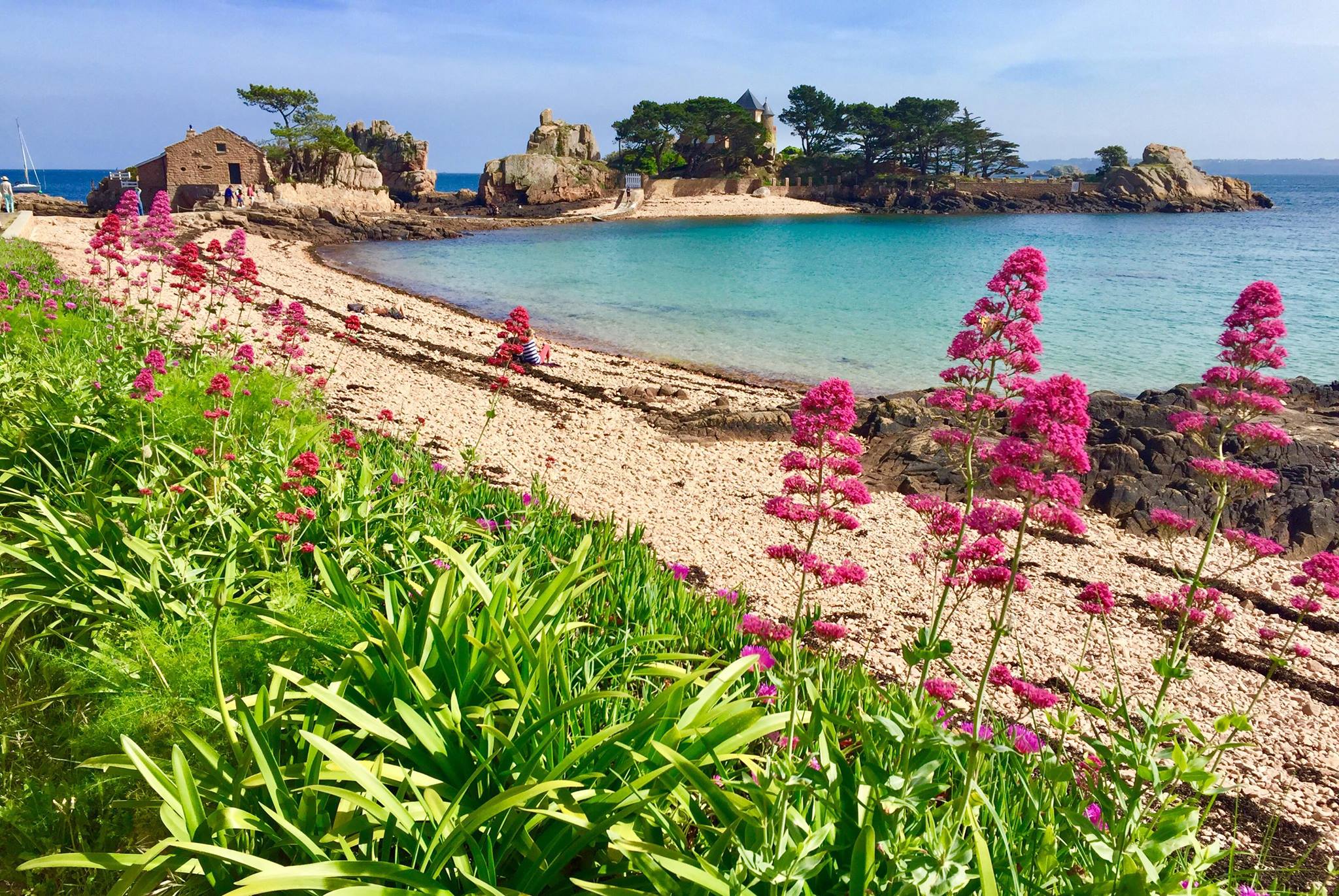
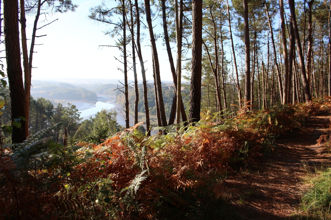
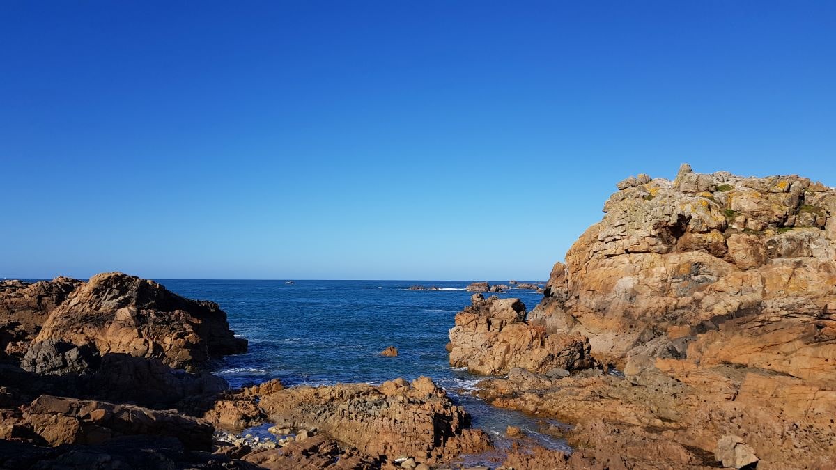
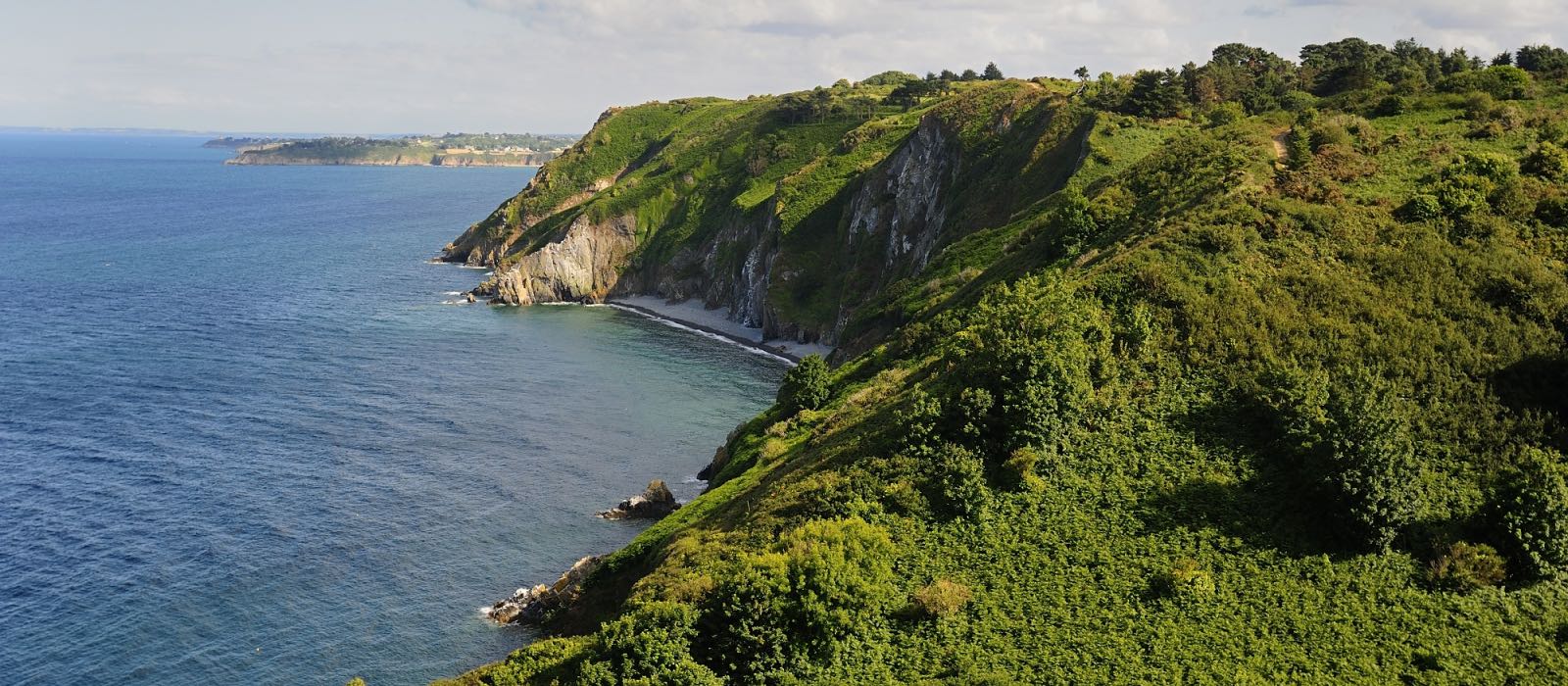
Trail along a rugged coast from Bonaparte beach to Palus beach, passing through Plouha point and its 104-meter cliffs.
The route does not include the return - possibility to go inland or to turn around.

Already more than 200,000 users!
Uphill
221m
Highest point
103m
Downhill
238m
Lowest point
11m
Route type
One way
Download the map on your smartphone to save battery and rest assured to always keep access to the route, even without signal.
Includes IGN France and Swisstopo.
Parkings at both ends of the trail, next to plage Bonaparte or plage du Palus.
0 ratings
Also enjoy:

Already more than 200,000 users!