Uphill
791m
Length
23km
Duration
8h
Elev gain
791m
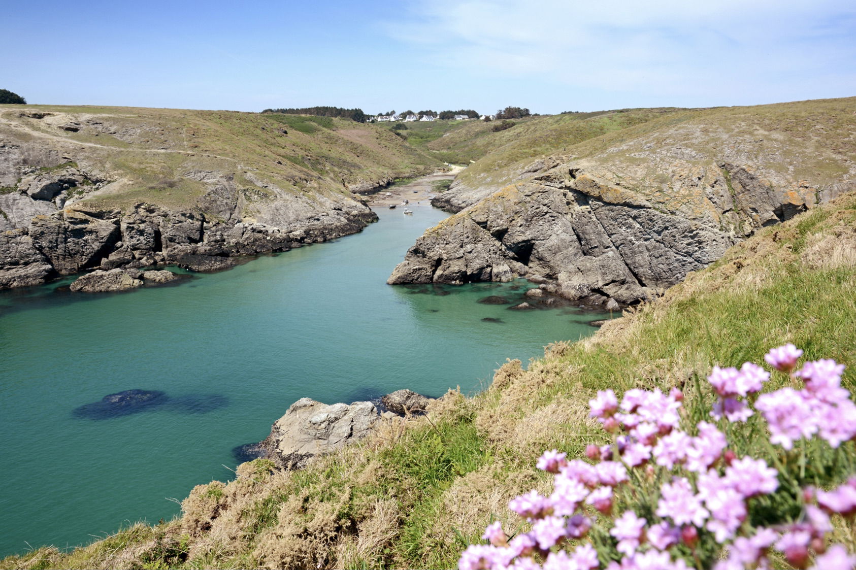
This third stage of the GR340 is slightly shorter than the previous one, but it is also much more rugged, which makes it the most difficult leg of the tour of Belle-Île.
The path leaves Port Goulphar towards the Pointe du Talut and its semaphore, then runs along the Pointe de Bornor and the island of Bangor. Then there are several small coves where swimming is possible on sunny days. Finally, the path runs along new headlands, those of Pouldon and Skeul being the most notable, before arriving at Locmaria.

Already more than 200,000 users!
Uphill
791m
Highest point
57m
Downhill
796m
Lowest point
0m
Route type
One way
Download the map on your smartphone to save battery and rest assured to always keep access to the route, even without signal.
Includes IGN France and Swisstopo.
Several options in Locmaria.
I indicate whether dogs are allowed or prohibited on this trail
All year
1 rating
Gros coup de coeur pour la plage de Baluden et son eau turquoise, idéale pour la baignade ! Le reste de l’étape alterne entre criques et falaises, avec assez peu de monde sur le sentier en ce weekend du 15 août.
Nous n’avons pas trouvé de logement à Locmaria et avons poussé jusqu’à Port Andro, où le camping se situe au bord d’une belle plage.
Also enjoy:

Already more than 200,000 users!


