Uphill
321m
Length
24km
Duration
6h30min
Elev gain
321m
This second leg is the longest of the tour of Belle-Île, with a few hundred meters more than the following leg. But the variety and beauty of the landscapes will certainly give you wings!
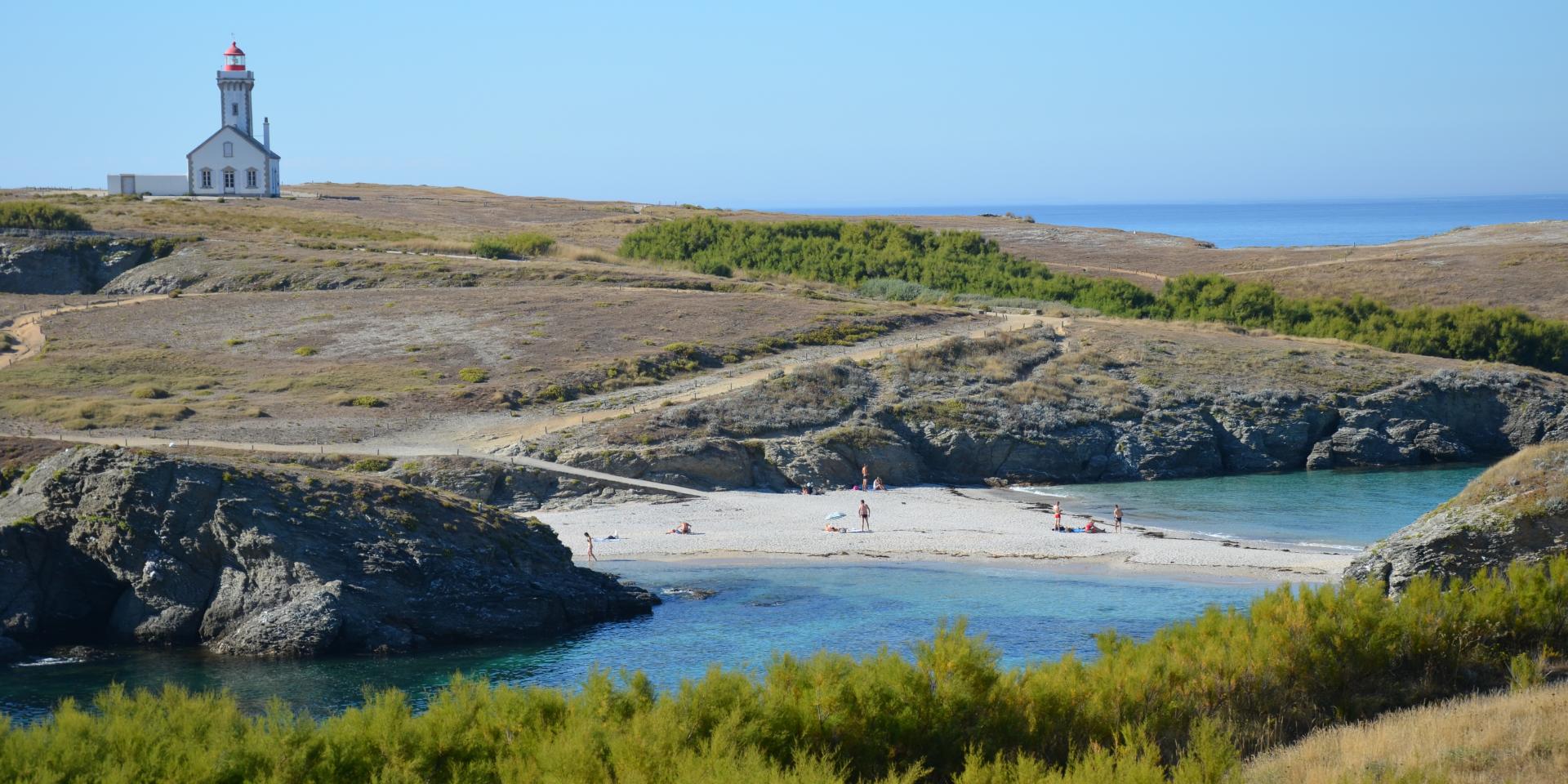
The trail begins by heading towards Pointe des Poulains, a true jewel of the island where the Atlantic Ocean meets the tranquil waters of Quiberon Bay. After passing Fort Sarah Bernhardt, the path continues at the top of the cliffs on a wild coast, heading south. Then you will arrive at the needles of Port-Coton, rocks standing in the sea which were celebrated by Claude Monet.
Finally, the stage ends in Port Goulphar for a well-deserved rest.

Already more than 200,000 users!
Uphill
321m
Highest point
49m
Downhill
314m
Lowest point
0m
Route type
One way
Download the map on your smartphone to save battery and rest assured to always keep access to the route, even without signal.
Includes IGN France and Swisstopo.
Several options in Port Goulphar.
I indicate whether dogs are allowed or prohibited on this trail
All year
1 rating
Une fois passée la très belle pointe de Poulains, cette seconde étape contraste avec la précédente. Les petites criques laissent place à de hautes falaises, des vagues déchaînées, et peu de végétation. Un petit air de bout du monde, et le sentier était peu fréquenté pour un 15 août.
Nous n’avons pas trouvé de logement à Port Goulphar et avons poussé jusqu’à Bangor, ce qui fait une étape de 30 kilomètres.
Also enjoy:

Already more than 200,000 users!


